Estimated Value: $552,000 - $556,082
5
Beds
3
Baths
3,500
Sq Ft
$158/Sq Ft
Est. Value
About This Home
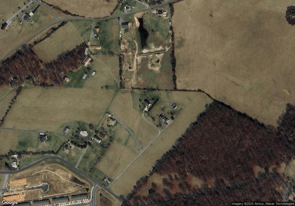
This home is located at 768 Cave Hill Rd, Luray, VA 22835 and is currently estimated at $554,041, approximately $158 per square foot. 768 Cave Hill Rd is a home located in Page County.
Ownership History
Date
Name
Owned For
Owner Type
Purchase Details
Closed on
Jul 5, 2019
Sold by
Shenk April M
Bought by
Castle Anthony E
Current Estimated Value
Home Financials for this Owner
Home Financials are based on the most recent Mortgage that was taken out on this home.
Original Mortgage
$303,200
Outstanding Balance
$266,605
Interest Rate
4%
Mortgage Type
VA
Estimated Equity
$287,436
Purchase Details
Closed on
Jun 26, 2006
Create a Home Valuation Report for This Property
The Home Valuation Report is an in-depth analysis detailing your home's value as well as a comparison with similar homes in the area
Home Values in the Area
Average Home Value in this Area
Purchase History
| Date | Buyer | Sale Price | Title Company |
|---|---|---|---|
| Castle Anthony E | $379,000 | -- | |
| -- | -- | -- |
Source: Public Records
Mortgage History
| Date | Status | Borrower | Loan Amount |
|---|---|---|---|
| Open | Castle Anthony E | $303,200 |
Source: Public Records
Tax History Compared to Growth
Tax History
| Year | Tax Paid | Tax Assessment Tax Assessment Total Assessment is a certain percentage of the fair market value that is determined by local assessors to be the total taxable value of land and additions on the property. | Land | Improvement |
|---|---|---|---|---|
| 2025 | $2,813 | $385,400 | $56,700 | $328,700 |
| 2024 | $2,813 | $385,400 | $56,700 | $328,700 |
| 2023 | $2,813 | $385,400 | $56,700 | $328,700 |
| 2022 | $2,813 | $385,400 | $56,700 | $328,700 |
| 2021 | $2,813 | $385,400 | $56,700 | $328,700 |
| 2020 | $2,419 | $331,400 | $51,700 | $279,700 |
| 2019 | $2,280 | $312,300 | $51,700 | $260,600 |
| 2018 | $2,186 | $312,300 | $51,700 | $260,600 |
| 2017 | $2,061 | $312,300 | $51,700 | $260,600 |
| 2016 | $2,061 | $312,300 | $51,700 | $260,600 |
| 2015 | $1,914 | $299,000 | $41,700 | $257,300 |
| 2014 | $1,914 | $299,000 | $41,700 | $257,300 |
Source: Public Records
Map
Nearby Homes
- 613 Airport Rd
- 267 Baker Dr
- Delmar Plan at Luray Landing
- 0 Baker Dr
- 164 Rae Ct
- 160 Rae Ct
- 156 Rae Ct
- 148 Rae Ct
- 144 Rae Ct
- 140 Rae Ct
- 115 Rae Ct
- St. Ashley Plan at Luray Landing
- 0 General Dr & Alison Dr Unit VAPA2002608
- 0 General Dr
- 34 Spirea Place
- 750 W Main St
- 1819 Us Highway 211 W
- 268 Shenandoah Dr
- 173 Baker Dr
- 144 Baker Dr
- 744 Cave Hill Rd
- 107 Patriot Way
- 162 Rumsey Farm Ln
- 740 Cave Hill Rd
- 163 Rumsey Farm Ln
- 847 Airport Rd
- 769 Airport Rd
- 769 and 613 Airport Rd
- 15 Patriot Way
- 845 Airport Rd
- 125 Rumsey Farm Ln
- 200 Blackberry Ln
- 758 Airport Rd
- TBD3 Cave Hill Rd
- 0 Patriot Way Unit 653273
- 0 Patriot Way Unit VAPA2003610
- 0 Patriot Way Unit 627166
- 0 Patriot Way Unit VAPA2000914
- 688 Airport Rd
- 108 Damapa Dr
