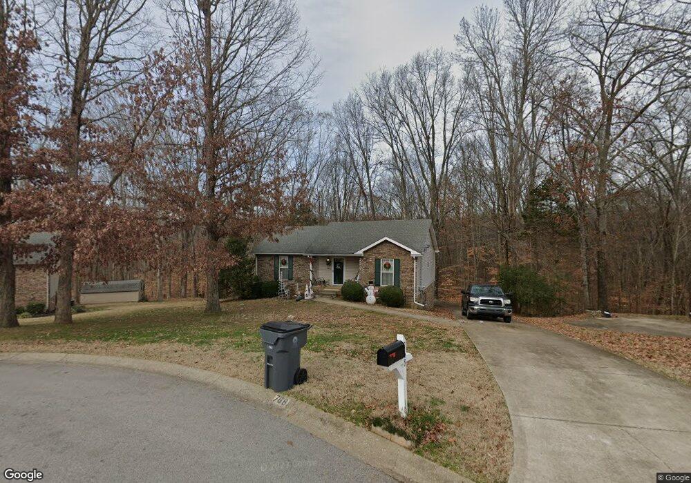
768 Cloud Dr Clarksville, TN 37043
Estimated Value: $248,000 - $291,000
Studio
2
Baths
1,176
Sq Ft
$228/Sq Ft
Est. Value
About This Home
This home is located at 768 Cloud Dr, Clarksville, TN 37043 and is currently estimated at $267,751, approximately $227 per square foot. 768 Cloud Dr is a home located in Montgomery County with nearby schools including East Montgomery Elementary School, Richview Middle School, and Clarksville High School.
Ownership History
Date
Name
Owned For
Owner Type
Purchase Details
Closed on
Apr 9, 1996
Sold by
Weakley Development
Bought by
Tw Diggs Contractor Llc
Current Estimated Value
Create a Home Valuation Report for This Property
The Home Valuation Report is an in-depth analysis detailing your home's value as well as a comparison with similar homes in the area
Purchase History
| Date | Buyer | Sale Price | Title Company |
|---|---|---|---|
| Tw Diggs Contractor Llc | $24,000 | -- |
Source: Public Records
Tax History
| Year | Tax Paid | Tax Assessment Tax Assessment Total Assessment is a certain percentage of the fair market value that is determined by local assessors to be the total taxable value of land and additions on the property. | Land | Improvement |
|---|---|---|---|---|
| 2024 | $2,776 | $65,775 | $0 | $0 |
| 2023 | $1,636 | $38,775 | $0 | $0 |
| 2022 | $1,159 | $38,775 | $0 | $0 |
| 2021 | $1,159 | $38,775 | $0 | $0 |
| 2020 | $1,558 | $38,775 | $0 | $0 |
| 2019 | $1,558 | $38,775 | $0 | $0 |
| 2018 | $1,408 | $29,175 | $0 | $0 |
| 2017 | $405 | $32,675 | $0 | $0 |
| 2016 | $1,003 | $32,675 | $0 | $0 |
| 2015 | $1,377 | $32,675 | $0 | $0 |
| 2014 | $1,359 | $32,675 | $0 | $0 |
| 2013 | $1,315 | $30,025 | $0 | $0 |
Source: Public Records
Map
Nearby Homes
- 761 Cloud Dr
- 757 Cloud Dr
- 735 Cloud Dr
- 19 Gholson Rd
- 90 Miller Farm
- 609 Willow Park Dr
- 95 Miller Farm
- 435 Blue Ridge Ct
- 419 Blue Ridge Ct
- 2059 Daniel Johnson Way
- 287 Quarry Overlook Way
- 439 Blue Ridge Ct
- 615 Willow Park Dr
- 603 Willow Park Dr
- 1579 Hidden Creek Trail
- 1573 Hidden Creek Trail
- 1531 Hidden Creek Trail
- 48 Miller Farm
- 1585 Hidden Creek Trail
- 3154 E Old Ashland City Rd
Your Personal Tour Guide
Ask me questions while you tour the home.