768 Paulsboro Rd Swedesboro, NJ 08085
Logan Township NeighborhoodEstimated Value: $542,607 - $647,000
--
Bed
--
Bath
2,833
Sq Ft
$205/Sq Ft
Est. Value
About This Home
This home is located at 768 Paulsboro Rd, Swedesboro, NJ 08085 and is currently estimated at $580,202, approximately $204 per square foot. 768 Paulsboro Rd is a home located in Gloucester County with nearby schools including Logan Township Elementary School and Guardian Angels Regional School.
Ownership History
Date
Name
Owned For
Owner Type
Purchase Details
Closed on
Nov 29, 2017
Sold by
Dixitar Kumaraswamy S and Dixitar Rajeswari Dixitar
Bought by
Logan Township
Current Estimated Value
Home Financials for this Owner
Home Financials are based on the most recent Mortgage that was taken out on this home.
Interest Rate
3.92%
Purchase Details
Closed on
Jun 2, 2017
Sold by
Dixitar Kumaraswamy Sri and Dixitar Rajeswari
Bought by
Dixitar Kumaraswamy Sri and Dixitar Rajeswari
Home Financials for this Owner
Home Financials are based on the most recent Mortgage that was taken out on this home.
Original Mortgage
$211,000
Interest Rate
4.05%
Mortgage Type
New Conventional
Purchase Details
Closed on
May 20, 2014
Sold by
Edwards Florence G
Bought by
Dixitar Kumaraswany Sri
Create a Home Valuation Report for This Property
The Home Valuation Report is an in-depth analysis detailing your home's value as well as a comparison with similar homes in the area
Home Values in the Area
Average Home Value in this Area
Purchase History
| Date | Buyer | Sale Price | Title Company |
|---|---|---|---|
| Logan Township | -- | -- | |
| Dixitar Kumaraswamy Sri | -- | None Available | |
| Dixitar Kumaraswany Sri | $33,000 | -- |
Source: Public Records
Mortgage History
| Date | Status | Borrower | Loan Amount |
|---|---|---|---|
| Closed | Logan Township | -- | |
| Previous Owner | Dixitar Kumaraswamy Sri | $211,000 |
Source: Public Records
Tax History Compared to Growth
Tax History
| Year | Tax Paid | Tax Assessment Tax Assessment Total Assessment is a certain percentage of the fair market value that is determined by local assessors to be the total taxable value of land and additions on the property. | Land | Improvement |
|---|---|---|---|---|
| 2025 | $5,795 | $445,800 | $69,300 | $376,500 |
| 2024 | $5,859 | $445,800 | $69,300 | $376,500 |
| 2023 | $5,859 | $291,500 | $39,800 | $251,700 |
| 2022 | $6,089 | $291,500 | $39,800 | $251,700 |
| 2021 | $4,741 | $291,500 | $39,800 | $251,700 |
| 2020 | $6,340 | $291,500 | $39,800 | $251,700 |
| 2019 | $6,290 | $289,600 | $39,800 | $249,800 |
| 2018 | $841 | $39,800 | $39,800 | $0 |
| 2017 | $948 | $37,800 | $37,800 | $0 |
| 2016 | $932 | $37,800 | $37,800 | $0 |
| 2015 | $824 | $37,800 | $37,800 | $0 |
| 2014 | $1,917 | $90,700 | $37,800 | $52,900 |
Source: Public Records
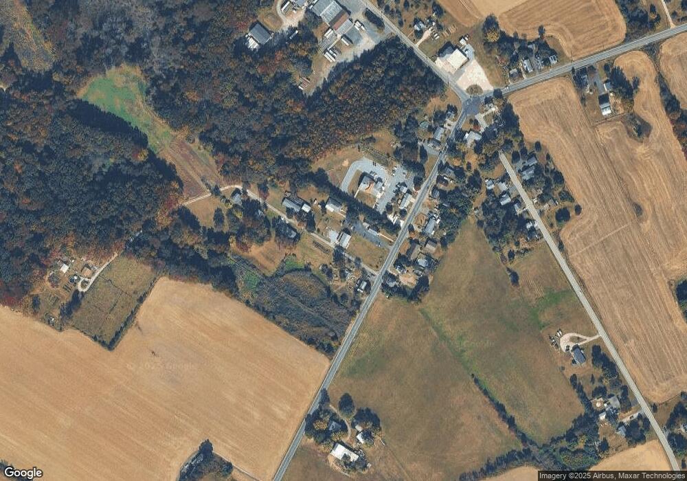
Map
Nearby Homes
- 788 Paulsboro Rd
- 792 Paulsboro Rd
- 43 45 Repaupo Station Rd
- 126 Repaupo Station Rd
- 0 Rd Unit NJGL2061600
- 159 Mill Rd
- 123 W Tomlin Station Rd
- 50 Mill Rd
- 71 W Tomlin Station Rd
- 752 Duncan Ave
- 132 Tomlin Station Rd
- 0 S Democrat Rd Unit NJGL2065008
- 157 S Poplar St
- 78 W Tomlin Station Rd
- 347 Paulsboro Rd
- 100 Giammarino Ave
- 433 Jefferson St
- 431 Washington St
- 0 Swedesboro Ave Unit NJGL2061592
- W Broad St
- 756 Paulsboro Rd
- 761 Paulsboro Rd
- 763 Paulsboro Rd
- 769 Paulsboro Rd
- 773 Paulsboro Rd
- 774 Paulsboro Rd
- 774 Paulsboro Rd
- 779 Paulsboro Rd
- 781 Paulsboro Rd
- 760 Paulsboro Rd
- 766 Paulsboro Rd
- 783 Paulsboro Rd
- 674 Asbury Station Rd
- 786 Paulsboro Rd
- 676 Asbury Station Rd
- 670 Asbury Station Rd
- 684 Asbury Station Rd
- 762 Paulsboro Rd
- 668 Asbury Station Rd
- 664 Asbury Station Rd