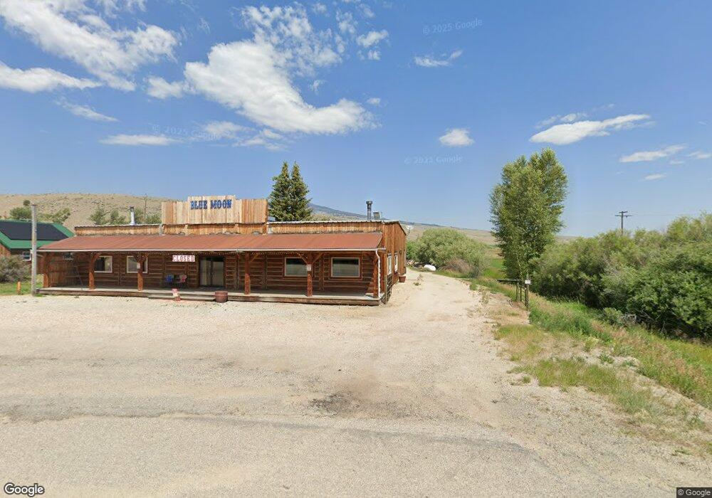
76809 Highway 43 Divide, MT 59727
Estimated Value: $572,000 - $1,979,000
2
Beds
4
Baths
4,668
Sq Ft
$231/Sq Ft
Est. Value
About This Home
This home is located at 76809 Highway 43, Divide, MT 59727 and is currently estimated at $1,079,627, approximately $231 per square foot. 76809 Highway 43 is a home located in Silver Bow County with nearby schools including Divide Elementary School and Butte High School.
Ownership History
Date
Name
Owned For
Owner Type
Purchase Details
Closed on
Nov 27, 2024
Sold by
Klemo Stacie A and Klemo Kliff J
Bought by
Oswald Lance J and Oswald Tiffany Y
Current Estimated Value
Home Financials for this Owner
Home Financials are based on the most recent Mortgage that was taken out on this home.
Original Mortgage
$136,350
Outstanding Balance
$135,203
Interest Rate
6.44%
Mortgage Type
Seller Take Back
Estimated Equity
$944,424
Purchase Details
Closed on
Jul 10, 2018
Sold by
Clarke Richard Wade
Bought by
Klemo Stacie A and Klemo Kliff J
Purchase Details
Closed on
Jul 2, 2015
Sold by
First Citizens Bank Of Butte
Bought by
Clarke Richard Wade
Purchase Details
Closed on
Jun 29, 2012
Sold by
Orizotti J Richard
Bought by
First Citizens Bank Of Butte
Create a Home Valuation Report for This Property
The Home Valuation Report is an in-depth analysis detailing your home's value as well as a comparison with similar homes in the area
Purchase History
| Date | Buyer | Sale Price | Title Company |
|---|---|---|---|
| Oswald Lance J | -- | Flying S Title And Escrow Of M | |
| Oswald Lance J | -- | Flying S Title And Escrow Of M | |
| Klemo Stacie A | -- | None Available | |
| Clarke Richard Wade | -- | None Available | |
| First Citizens Bank Of Butte | $125,578 | -- |
Source: Public Records
Mortgage History
| Date | Status | Borrower | Loan Amount |
|---|---|---|---|
| Open | Oswald Lance J | $136,350 | |
| Closed | Oswald Lance J | $136,350 |
Source: Public Records
Tax History
| Year | Tax Paid | Tax Assessment Tax Assessment Total Assessment is a certain percentage of the fair market value that is determined by local assessors to be the total taxable value of land and additions on the property. | Land | Improvement |
|---|---|---|---|---|
| 2025 | $4,024 | $725,699 | $0 | $0 |
| 2024 | $3,387 | $339,900 | $0 | $0 |
| 2023 | $3,275 | $339,900 | $0 | $0 |
| 2022 | $3,171 | $252,700 | $0 | $0 |
| 2021 | $3,090 | $252,700 | $0 | $0 |
| 2020 | $3,521 | $263,600 | $0 | $0 |
| 2019 | $3,586 | $263,600 | $0 | $0 |
| 2018 | $3,657 | $265,600 | $0 | $0 |
| 2017 | $3,087 | $265,600 | $0 | $0 |
| 2016 | $2,897 | $231,300 | $0 | $0 |
| 2015 | $2,826 | $231,300 | $0 | $0 |
| 2014 | $3,537 | $208,261 | $0 | $0 |
Source: Public Records
Map
Nearby Homes
- 1269 Open Range Ln
- TBD Soap Gulch Rd
- NHN Ponderosa
- 2651 Big Horn Rd
- 240 Ponderosa Rd
- 3021 Big Horn Rd
- 100 Snowberry Path
- 540 Cotton Willow Rd
- 216 Trapper Creek Rd
- 3966 Camp Creek Rd
- Lot 37-D Pronghorn Trail
- 3021 Big Horn Rd
- 19970 Mount Highway 91
- 0 Trapper Creek Rd
- TBD Basin Creek Rd
- 197 Dry Bean Rd
- 427 Roosevelt Dr
- 360 Roosevelt Dr
- Tbd Rock Creek Rd
- lot 84 Chalet Loop
- 76809 Montana 43
- 76809 Hwy 43 Divide Silver Bow Co
- 76809 Montana 43 Unit Divide
- 76793 Highway 43
- 76713 Hwy 43 Divide
- 76713 Montana 43
- 76713 Mt Highway 43
- 76713 Mt Highway 43
- TBD Highway 43
- 76541 Mt Highway 43
- 77020 Mt Highway 43
- 220 S River Rd
- 195 S River Rd
- 189 S River Rd
- TBD S River Rd
- 359 S River Rd
- 567 S River Rd
- 386 N River Rd
- 0 S18 T01 R09 Sec 18 W Unit 20143481
- 627 S River Rd
Your Personal Tour Guide
Ask me questions while you tour the home.