769 Clarence Edwards Rd Bethlehem, GA 30620
Estimated Value: $523,000 - $703,000
4
Beds
3
Baths
3,252
Sq Ft
$181/Sq Ft
Est. Value
About This Home
This home is located at 769 Clarence Edwards Rd, Bethlehem, GA 30620 and is currently estimated at $587,356, approximately $180 per square foot. 769 Clarence Edwards Rd is a home located in Barrow County with nearby schools including Yargo Elementary School, Haymon-Morris Middle School, and Apalachee High School.
Ownership History
Date
Name
Owned For
Owner Type
Purchase Details
Closed on
Dec 23, 2005
Sold by
Caryle Alton H
Bought by
Carlyle Altone H and Carlyle Cynthia K
Current Estimated Value
Home Financials for this Owner
Home Financials are based on the most recent Mortgage that was taken out on this home.
Original Mortgage
$231,323
Interest Rate
6.28%
Mortgage Type
FHA
Create a Home Valuation Report for This Property
The Home Valuation Report is an in-depth analysis detailing your home's value as well as a comparison with similar homes in the area
Home Values in the Area
Average Home Value in this Area
Purchase History
| Date | Buyer | Sale Price | Title Company |
|---|---|---|---|
| Carlyle Altone H | -- | -- | |
| Carlyle Alton H | $236,000 | -- | |
| Carlyle Alton H | $236,000 | -- |
Source: Public Records
Mortgage History
| Date | Status | Borrower | Loan Amount |
|---|---|---|---|
| Previous Owner | Carlyle Alton H | $231,323 |
Source: Public Records
Tax History Compared to Growth
Tax History
| Year | Tax Paid | Tax Assessment Tax Assessment Total Assessment is a certain percentage of the fair market value that is determined by local assessors to be the total taxable value of land and additions on the property. | Land | Improvement |
|---|---|---|---|---|
| 2024 | $3,603 | $161,626 | $40,416 | $121,210 |
| 2023 | $3,167 | $161,626 | $40,416 | $121,210 |
| 2022 | $3,251 | $122,331 | $40,416 | $81,915 |
| 2021 | $3,098 | $108,349 | $32,333 | $76,016 |
| 2020 | $2,945 | $101,666 | $25,650 | $76,016 |
| 2019 | $2,854 | $96,233 | $25,650 | $70,583 |
| 2018 | $2,817 | $95,988 | $25,650 | $70,338 |
| 2017 | $2,466 | $84,692 | $25,650 | $59,042 |
| 2016 | $2,392 | $83,061 | $25,650 | $57,411 |
| 2015 | $2,423 | $83,731 | $25,650 | $58,081 |
| 2014 | $2,091 | $71,368 | $12,568 | $58,799 |
| 2013 | -- | $69,279 | $12,568 | $56,711 |
Source: Public Records
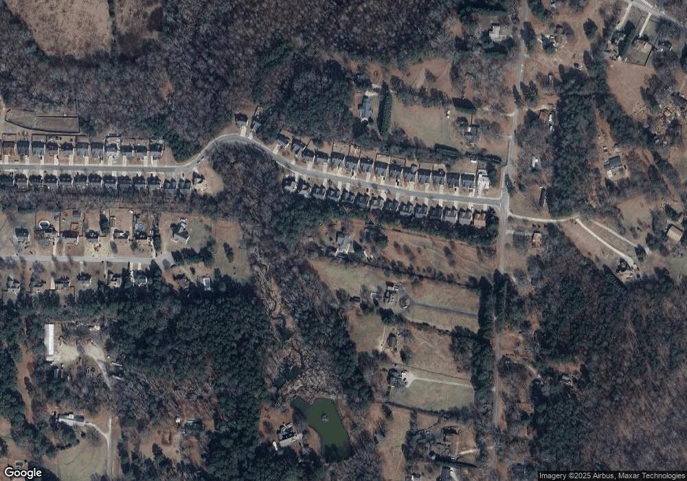
Map
Nearby Homes
- 758 Clarence Edwards Rd
- 303 Ron Dr
- 209 Angie Way
- 190 Lokeys Ln
- 0 Jb Owens Unit 7552902
- 0 Jb Owens Unit 7552891
- 0 Jb Owens Unit LOT 2 - 2.09 ACRES
- 0 Jb Owens Unit LOT 3 - 2.01 ACRES
- 1111 Otis Dr
- 575 Mackinaw Dr
- 1129 Loganville Hwy
- 236 Vision St
- 176 Market St
- 14 Smithwood Dr
- 1024 Lyndhurst Ln
- 755 Harry McCarty Rd
- 350 Punkin Junction Rd
- 720 Westbury Ct
- 724 Westbury Dr
- 738 Worth Ct
- 1517 Dillard Heights Dr
- 1519 Dillard Heights Dr
- 1515 Dillard Heights Dr
- 1521 Dillard Heights Dr
- 1513 Dillard Heights Dr
- 1523 Dillard Heights Dr
- 1511 Dillard Heights Dr
- 1525 Dillard Heights Dr
- 775 Clarence Edwards Rd
- 1509 Dillard Heights Dr
- 1518 Dillard Heights Dr
- 1516 Dillard Heights Dr
- 1527 Dillard Heights Dr
- 1520 Dillard Heights Dr
- 1514 Dillard Heights Dr
- 1522 Dillard Heights Dr
- 1512 Dillard Heights Dr
- 1510 Dillard Heights Dr
- 1524 Dillard Heights Dr
- 1529 Dillard Heights Dr