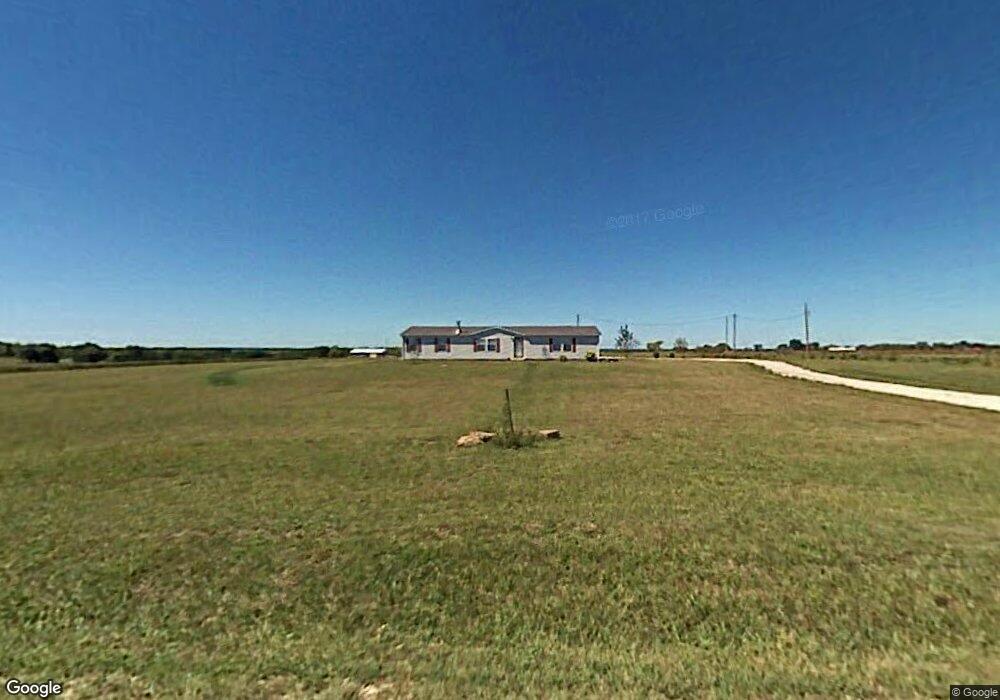
769 E 500 Rd Overbrook, KS 66524
Estimated Value: $314,319 - $338,000
3
Beds
2
Baths
2,046
Sq Ft
$159/Sq Ft
Est. Value
About This Home
This home is located at 769 E 500 Rd, Overbrook, KS 66524 and is currently estimated at $325,106, approximately $158 per square foot. 769 E 500 Rd is a home located in Douglas County with nearby schools including Billy Mills Middle School and Lawrence High School.
Ownership History
Date
Name
Owned For
Owner Type
Purchase Details
Closed on
Nov 15, 2021
Sold by
Roger Flory Mark and Roger Renee Jessica
Bought by
Flory Mark Roger and Flory Jessica Renee
Current Estimated Value
Purchase Details
Closed on
Feb 27, 2013
Sold by
Springer Carl John and Springer Amelia Lou
Bought by
Flory Mark Roger and Coen Jessica Renee
Home Financials for this Owner
Home Financials are based on the most recent Mortgage that was taken out on this home.
Original Mortgage
$98,800
Interest Rate
3.43%
Mortgage Type
New Conventional
Purchase Details
Closed on
Jan 6, 2009
Sold by
Spurling Eric and Spurling Erica L
Bought by
Springer Carl J and Springer Amelia L
Home Financials for this Owner
Home Financials are based on the most recent Mortgage that was taken out on this home.
Original Mortgage
$134,031
Interest Rate
5.17%
Mortgage Type
FHA
Create a Home Valuation Report for This Property
The Home Valuation Report is an in-depth analysis detailing your home's value as well as a comparison with similar homes in the area
Purchase History
| Date | Buyer | Sale Price | Title Company |
|---|---|---|---|
| Flory Mark Roger | -- | Security 1St Title | |
| Flory Mark Roger | -- | Executive Title Inc | |
| Springer Carl J | -- | Kansas Secured Title |
Source: Public Records
Mortgage History
| Date | Status | Borrower | Loan Amount |
|---|---|---|---|
| Previous Owner | Flory Mark Roger | $98,800 | |
| Previous Owner | Springer Carl J | $134,031 |
Source: Public Records
Tax History
| Year | Tax Paid | Tax Assessment Tax Assessment Total Assessment is a certain percentage of the fair market value that is determined by local assessors to be the total taxable value of land and additions on the property. | Land | Improvement |
|---|---|---|---|---|
| 2025 | $3,449 | $29,038 | $8,708 | $20,330 |
| 2024 | $3,338 | $28,359 | $8,432 | $19,927 |
| 2023 | $3,390 | $27,255 | $7,880 | $19,375 |
| 2022 | $3,472 | $27,255 | $6,776 | $20,479 |
| 2021 | $3,085 | $23,954 | $6,665 | $17,289 |
| 2020 | $2,923 | $22,563 | $6,665 | $15,898 |
| 2019 | $2,812 | $21,758 | $6,445 | $15,313 |
| 2018 | $2,705 | $20,685 | $6,364 | $14,321 |
| 2017 | $2,703 | $19,872 | $6,364 | $13,508 |
| 2016 | $2,327 | $17,687 | $3,134 | $14,553 |
| 2015 | $2,353 | $17,687 | $3,134 | $14,553 |
| 2014 | $2,257 | $17,687 | $3,134 | $14,553 |
Source: Public Records
Map
Nearby Homes
- 556 N 775th Rd
- 374 N 750 Rd
- 374 N 750 Rd Unit & 6 Parcels N 750 Rd
- 623 N 900 Rd
- 587 N 615 Rd
- 363 Acres N 750 Rd
- 537 E 550 Rd
- 0000 N 851 Diagonal Rd
- 811 N 900th Rd
- 811 N 900 Rd
- 992 E 750th Rd
- 627 N 900 Rd
- 645 N 900 Rd
- 0 Lot 4 33-14-18 N A Unit HMS2572348
- 820 E 1000 Rd
- 144 N 1150 Rd
- 110 N 1150 Rd
- 146 N 1150 Rd
- 134 N 1150 Rd
- 1028 N 600 Rd
Your Personal Tour Guide
Ask me questions while you tour the home.