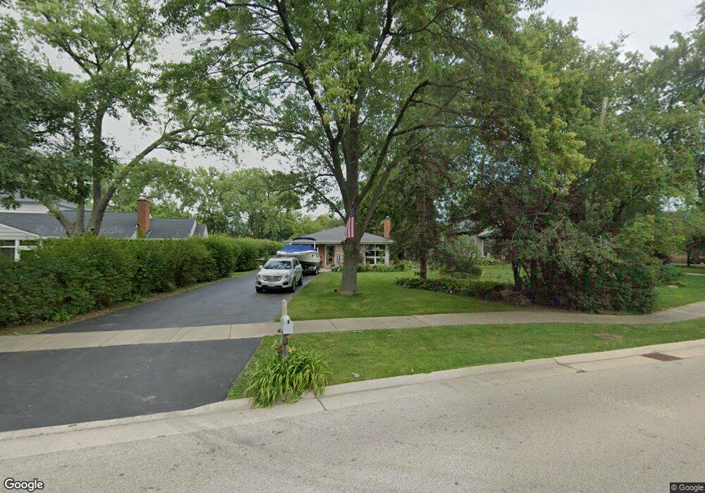
769 Happ Rd Northfield, IL 60093
Estimated Value: $703,000 - $864,000
5
Beds
3
Baths
1,899
Sq Ft
$404/Sq Ft
Est. Value
About This Home
This home is located at 769 Happ Rd, Northfield, IL 60093 and is currently estimated at $767,570, approximately $404 per square foot. 769 Happ Rd is a home located in Cook County with nearby schools including Middlefork Primary School, Sunset Ridge Elementary School, and New Trier Township High School - Northfield.
Ownership History
Date
Name
Owned For
Owner Type
Purchase Details
Closed on
May 7, 2004
Sold by
Orth Jane and Karol Jane
Bought by
Karol Mark and Karol Jane
Current Estimated Value
Home Financials for this Owner
Home Financials are based on the most recent Mortgage that was taken out on this home.
Original Mortgage
$217,000
Interest Rate
5.91%
Mortgage Type
New Conventional
Purchase Details
Closed on
Jun 28, 2002
Sold by
Jarrold Martin F and Jarrold Caroline C
Bought by
Delneky Joyce A
Purchase Details
Closed on
May 29, 1996
Sold by
Lasalle National Trust Na
Bought by
Jarrold Martin F and Arnold Caroline C
Home Financials for this Owner
Home Financials are based on the most recent Mortgage that was taken out on this home.
Original Mortgage
$140,000
Interest Rate
7.99%
Create a Home Valuation Report for This Property
The Home Valuation Report is an in-depth analysis detailing your home's value as well as a comparison with similar homes in the area
Home Values in the Area
Average Home Value in this Area
Purchase History
| Date | Buyer | Sale Price | Title Company |
|---|---|---|---|
| Karol Mark | -- | Lawyers | |
| Delneky Joyce A | $410,000 | Chicago Title Insurance Co | |
| Jarrold Martin F | $275,000 | -- |
Source: Public Records
Mortgage History
| Date | Status | Borrower | Loan Amount |
|---|---|---|---|
| Closed | Karol Mark | $217,000 | |
| Previous Owner | Jarrold Martin F | $140,000 | |
| Closed | Jarrold Martin F | $50,000 |
Source: Public Records
Tax History
| Year | Tax Paid | Tax Assessment Tax Assessment Total Assessment is a certain percentage of the fair market value that is determined by local assessors to be the total taxable value of land and additions on the property. | Land | Improvement |
|---|---|---|---|---|
| 2025 | $11,156 | $58,001 | $17,313 | $40,688 |
| 2024 | $11,156 | $55,000 | $18,005 | $36,995 |
| 2023 | $10,558 | $55,000 | $18,005 | $36,995 |
| 2022 | $10,558 | $55,000 | $18,005 | $36,995 |
| 2021 | $12,365 | $54,319 | $14,542 | $39,777 |
| 2020 | $12,141 | $54,319 | $14,542 | $39,777 |
| 2019 | $11,936 | $59,692 | $14,542 | $45,150 |
| 2018 | $9,639 | $46,636 | $12,811 | $33,825 |
| 2017 | $9,350 | $46,636 | $12,811 | $33,825 |
| 2016 | $9,000 | $46,636 | $12,811 | $33,825 |
| 2015 | $8,158 | $38,960 | $10,733 | $28,227 |
| 2014 | $8,011 | $38,960 | $10,733 | $28,227 |
| 2013 | $7,662 | $38,960 | $10,733 | $28,227 |
Source: Public Records
Map
Nearby Homes
- 898 Bridlegate Ln
- 2122 Middlefork Rd
- 1990 Southridge Terrace
- 590 Briar Ln
- 2154 Northgate Rd
- 513 Edens Ln
- 1930 Sunset Ridge Rd
- 405 Voltz Rd
- 985 Pine Tree Ln
- 265 Dickens St
- 1492 Asbury Ave
- 308 Happ Rd Unit 201
- 831 Balmoral Ln
- 1706 Northfield Square Unit D
- 164 Wagner Rd
- 1423 Asbury Ave
- 955 Vernon Ave
- 118 Dickens Rd
- 220 Sunset Ridge Rd
- 2700 Summit Dr Unit 101
Your Personal Tour Guide
Ask me questions while you tour the home.