769 Johnnie Nugent Rd Willacoochee, GA 31650
Estimated Value: $276,000 - $516,851
--
Bed
2
Baths
1,792
Sq Ft
$208/Sq Ft
Est. Value
About This Home
This home is located at 769 Johnnie Nugent Rd, Willacoochee, GA 31650 and is currently estimated at $371,950, approximately $207 per square foot. 769 Johnnie Nugent Rd is a home located in Coffee County with nearby schools including Indian Creek Elementary School, Coffee Middle School, and Coffee County High School.
Ownership History
Date
Name
Owned For
Owner Type
Purchase Details
Closed on
Aug 13, 2009
Sold by
Nugent Reynold T
Bought by
Nugent John O
Current Estimated Value
Purchase Details
Closed on
Jul 6, 2009
Sold by
Nugent Ruthie Lee Aldridge
Bought by
Nugent Lynda B
Purchase Details
Closed on
Jun 18, 2009
Sold by
Nugent Christopher Shaun
Bought by
Nugent John O
Create a Home Valuation Report for This Property
The Home Valuation Report is an in-depth analysis detailing your home's value as well as a comparison with similar homes in the area
Home Values in the Area
Average Home Value in this Area
Purchase History
| Date | Buyer | Sale Price | Title Company |
|---|---|---|---|
| Nugent John O | -- | -- | |
| Nugent Lynda B | -- | -- | |
| Clark Mary Virginia Nugent | -- | -- | |
| Carter Helen Nugent | -- | -- | |
| Deen Kathleen Nugent | -- | -- | |
| Nugent John O | -- | -- | |
| Nugent Paul Wendell | -- | -- | |
| Wright Patricia Nugent | -- | -- | |
| Nugent Clara B | -- | -- | |
| Nugent Clara B | -- | -- | |
| Nugent John O | -- | -- | |
| Nugent John Owen | -- | -- | |
| Nugent Clara B | -- | -- | |
| Nugent Ruthie Lee Aldridge | -- | -- | |
| Nugent Clara B | -- | -- | |
| Nugent Ruthie Lee Aldrige | -- | -- | |
| Nugent Ruthie Lee Aldridge | -- | -- | |
| Nugent Ruthie Lee Aldridge | -- | -- | |
| Nugent Ruthie Lee Aldridge | -- | -- | |
| Nugent Ruthie Lee Aldridge | -- | -- | |
| Nugent Ruthie Lee Aldridge | -- | -- | |
| Nugent Ruthie Lee Aldridge | -- | -- | |
| Nugent Ruthie Lee Aldridge | -- | -- | |
| Nugent Ruthie Lee Aldridge | -- | -- | |
| Nugent Ruthie Lee Aldridge | -- | -- |
Source: Public Records
Tax History Compared to Growth
Tax History
| Year | Tax Paid | Tax Assessment Tax Assessment Total Assessment is a certain percentage of the fair market value that is determined by local assessors to be the total taxable value of land and additions on the property. | Land | Improvement |
|---|---|---|---|---|
| 2024 | $1,672 | $121,397 | $72,992 | $48,405 |
| 2023 | $1,252 | $121,397 | $72,992 | $48,405 |
| 2022 | $1,789 | $121,397 | $72,992 | $48,405 |
| 2021 | $1,771 | $121,397 | $72,992 | $48,405 |
| 2020 | $1,754 | $121,397 | $72,992 | $48,405 |
| 2019 | $1,601 | $121,397 | $72,992 | $48,405 |
| 2018 | $1,587 | $121,397 | $72,992 | $48,405 |
| 2017 | $1,618 | $122,997 | $72,992 | $50,005 |
| 2016 | $1,690 | $126,422 | $72,992 | $53,430 |
| 2015 | $1,638 | $124,422 | $72,992 | $51,430 |
| 2014 | $1,633 | $124,422 | $72,992 | $51,430 |
Source: Public Records
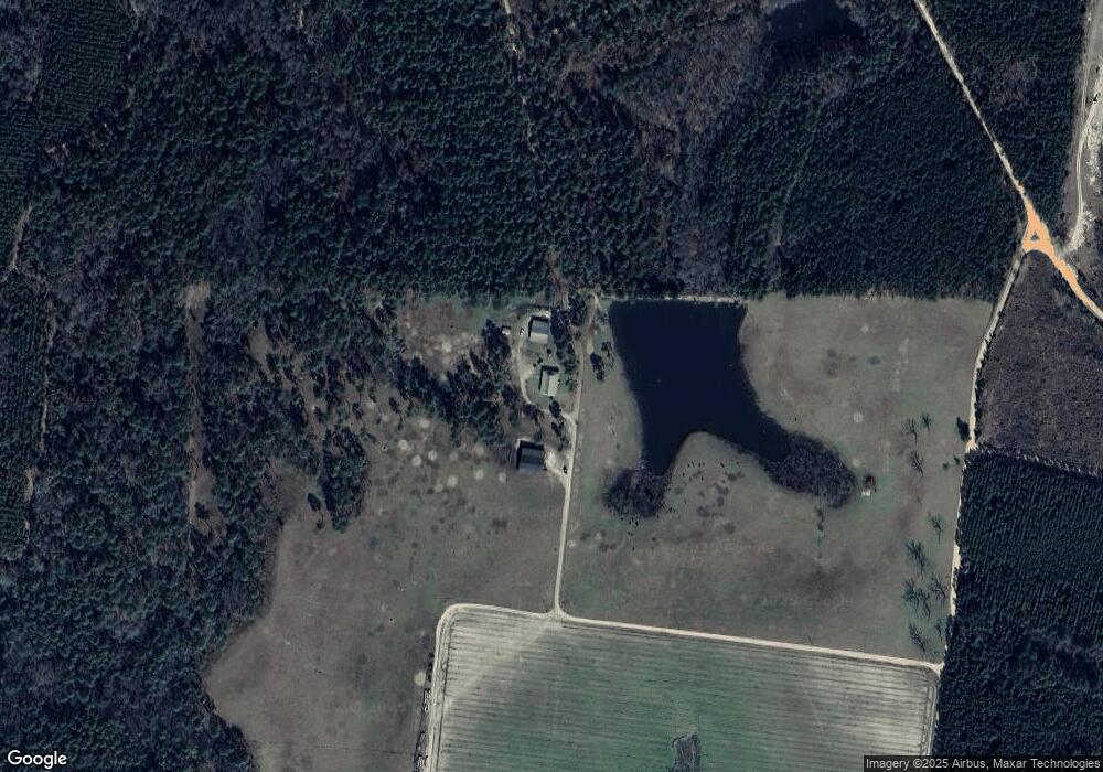
Map
Nearby Homes
- 2450 Paradise Ln
- 674 Forest Hills Dr
- 132 Final Lap Ln
- 00 W Bay Meadows Dr
- 66 Beach St
- 38 Arbor Dr
- 40 Pinedale Dr
- 358 Lakeside Cir
- 1325 Baymeadows Dr W
- 703 Woodlake Cir
- 2987 Baymeadows Dr W
- N/A Fernwood Dr
- 68 Victory Dr
- 17 Dime St
- 380 Brookewood Dr
- 371 Summertree Dr
- 943 Basswood Rd
- 274 Summertree Dr
- 208 Summertree Dr
- 55 Palm Dr