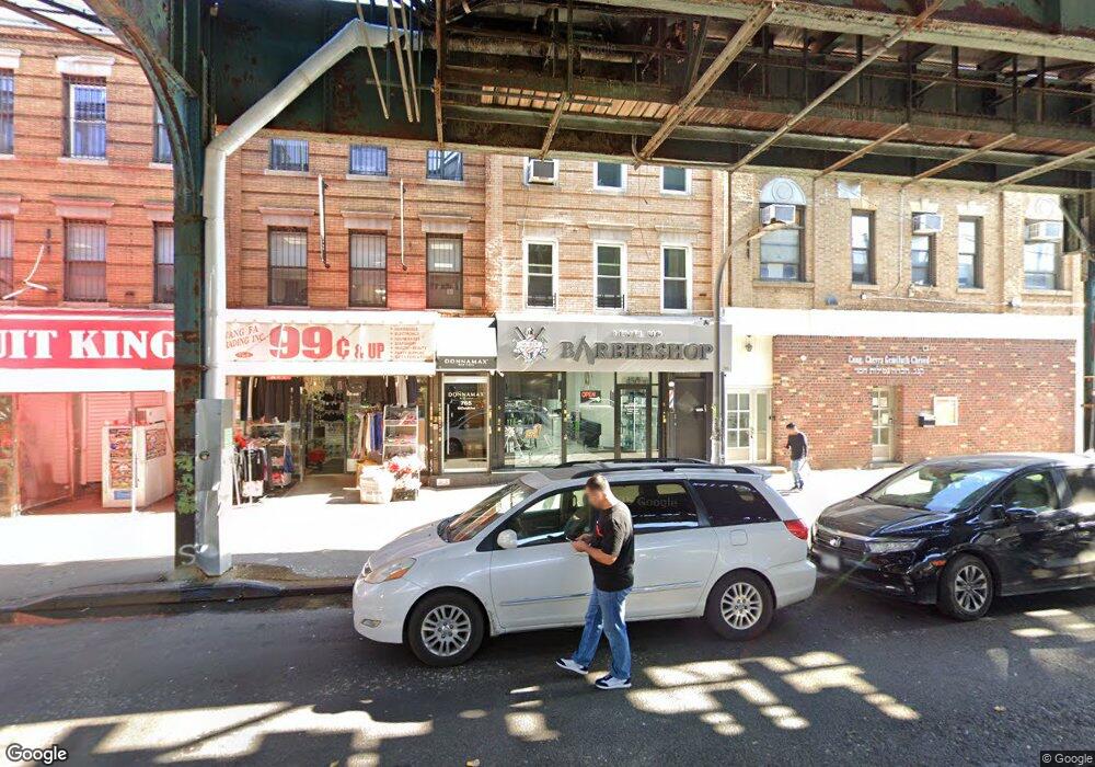
769 McDonald Ave Brooklyn, NY 11218
Kensington NeighborhoodEstimated Value: $1,421,263
--
Bed
--
Bath
3,300
Sq Ft
$431/Sq Ft
Est. Value
About This Home
This home is located at 769 McDonald Ave, Brooklyn, NY 11218 and is currently estimated at $1,421,263, approximately $430 per square foot. 769 McDonald Ave is a home located in Kings County with nearby schools including P.S. 179 Kensington, I.S. 223 The Montauk, and Franklin Delano Roosevelt High School.
Ownership History
Date
Name
Owned For
Owner Type
Purchase Details
Closed on
Jan 2, 2025
Sold by
Horowitz Chana B and Horowitz Jody Glen
Bought by
769 Mcdonald Ave Llc
Current Estimated Value
Purchase Details
Closed on
Apr 17, 2023
Sold by
Anthony Coticelli As Trustee and Coticelli Family Trust
Bought by
Horowitz Chana B and Horowitz Jody Glen
Purchase Details
Closed on
Apr 17, 1997
Sold by
Coticelli Jean
Bought by
Coticelli Philip and Coticelli Jean
Create a Home Valuation Report for This Property
The Home Valuation Report is an in-depth analysis detailing your home's value as well as a comparison with similar homes in the area
Home Values in the Area
Average Home Value in this Area
Purchase History
| Date | Buyer | Sale Price | Title Company |
|---|---|---|---|
| 769 Mcdonald Ave Llc | -- | -- | |
| Horowitz Chana B | $1,300,000 | -- | |
| Horowitz Chana B | $1,300,000 | -- | |
| Coticelli Philip | -- | -- | |
| Coticelli Philip | -- | -- |
Source: Public Records
Tax History Compared to Growth
Tax History
| Year | Tax Paid | Tax Assessment Tax Assessment Total Assessment is a certain percentage of the fair market value that is determined by local assessors to be the total taxable value of land and additions on the property. | Land | Improvement |
|---|---|---|---|---|
| 2025 | $6,144 | $92,220 | $10,920 | $81,300 |
| 2024 | $6,144 | $89,340 | $10,920 | $78,420 |
| 2023 | $5,861 | $78,960 | $10,920 | $68,040 |
| 2022 | $4,094 | $88,920 | $10,920 | $78,000 |
| 2021 | $4,351 | $78,300 | $10,920 | $67,380 |
| 2020 | $3,264 | $49,560 | $10,920 | $38,640 |
| 2019 | $926 | $43,080 | $10,920 | $32,160 |
| 2018 | $1,469 | $24,048 | $5,898 | $18,150 |
| 2017 | $4,038 | $23,760 | $6,249 | $17,511 |
| 2016 | $1,502 | $23,760 | $7,494 | $16,266 |
| 2015 | $790 | $22,516 | $8,519 | $13,997 |
| 2014 | $790 | $21,242 | $9,641 | $11,601 |
Source: Public Records
Map
Nearby Homes
- 755 McDonald Ave
- 751 McDonald Ave
- 819 McDonald Ave
- 302 Ditmas Ave
- 304 Ditmas Ave
- 649 E 3rd St
- 311 Ditmas Ave
- 1553 39th St
- 1551 39th St
- 734 E 5th St Unit 4L
- 510 Ocean Pkwy Unit 3J
- 510 Ocean Pkwy Unit 4J
- 540 Ocean Pkwy Unit 5R
- 540 Ocean Pkwy Unit 4H
- 570 Ocean Pkwy Unit 4E
- 525 Ocean Pkwy Unit 4J
- 640 Ditmas Ave Unit 16
- 522 E 5th St
- 580 E 7th St
- 708 Ditmas Ave
- 769 McDonald Ave Unit 1
- 771 McDonald Ave
- 763 McDonald Ave
- 100 Ditmas Ave
- 783 McDonald Ave
- 116 Ditmas Ave
- 118 Ditmas Ave
- 785 McDonald Ave
- 109 Ditmas Ave
- 789 McDonald Ave
- 791 McDonald Ave
- 652 E 2nd St
- 760 McDonald Ave
- 770 McDonald Ave
- 793 McDonald Ave
- 656 E 2nd St
- 755 McDonald Ave Unit 12
- 115 Ditmas Ave
- 795 McDonald Ave
- 117-119 Ditmas Ave