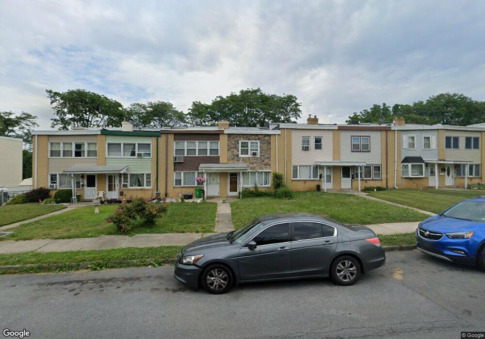
769 Mohawk St Allentown, PA 18103
Southside NeighborhoodEstimated Value: $228,000 - $244,704
3
Beds
2
Baths
1,402
Sq Ft
$170/Sq Ft
Est. Value
About This Home
This home is located at 769 Mohawk St, Allentown, PA 18103 and is currently estimated at $238,426, approximately $170 per square foot. 769 Mohawk St is a home located in Lehigh County with nearby schools including Hiram W Dodd Elementary School, South Mountain Middle School, and William Allen High School.
Ownership History
Date
Name
Owned For
Owner Type
Purchase Details
Closed on
Oct 18, 2010
Sold by
Rossie Sheriff Ronald W and Barcia Teddy R
Bought by
Hcnp Z Llc
Current Estimated Value
Purchase Details
Closed on
May 30, 2003
Sold by
Hud
Bought by
Barcia Teddy R
Home Financials for this Owner
Home Financials are based on the most recent Mortgage that was taken out on this home.
Original Mortgage
$55,800
Interest Rate
5.71%
Mortgage Type
Purchase Money Mortgage
Purchase Details
Closed on
Mar 4, 2003
Sold by
Cenlar Fsb
Bought by
Hud
Purchase Details
Closed on
Nov 15, 2002
Sold by
Dengler Troy R
Bought by
Cenlar Fsb
Create a Home Valuation Report for This Property
The Home Valuation Report is an in-depth analysis detailing your home's value as well as a comparison with similar homes in the area
Home Values in the Area
Average Home Value in this Area
Purchase History
| Date | Buyer | Sale Price | Title Company |
|---|---|---|---|
| Hcnp Z Llc | -- | -- | |
| Barcia Teddy R | $62,000 | -- | |
| Hud | -- | -- | |
| Cenlar Fsb | -- | -- |
Source: Public Records
Mortgage History
| Date | Status | Borrower | Loan Amount |
|---|---|---|---|
| Previous Owner | Barcia Teddy R | $55,800 | |
| Closed | Barcia Teddy R | $9,600 |
Source: Public Records
Tax History
| Year | Tax Paid | Tax Assessment Tax Assessment Total Assessment is a certain percentage of the fair market value that is determined by local assessors to be the total taxable value of land and additions on the property. | Land | Improvement |
|---|---|---|---|---|
| 2026 | $2,988 | $91,500 | $7,400 | $84,100 |
| 2025 | $2,966 | $91,500 | $7,400 | $84,100 |
| 2024 | $2,966 | $91,500 | $7,400 | $84,100 |
| 2023 | $2,966 | $91,500 | $7,400 | $84,100 |
| 2022 | $2,862 | $91,500 | $84,100 | $7,400 |
| 2021 | $2,805 | $91,500 | $7,400 | $84,100 |
| 2020 | $2,731 | $91,500 | $7,400 | $84,100 |
| 2019 | $2,687 | $91,500 | $7,400 | $84,100 |
| 2018 | $2,509 | $91,500 | $7,400 | $84,100 |
| 2017 | $2,445 | $91,500 | $7,400 | $84,100 |
| 2016 | -- | $91,500 | $7,400 | $84,100 |
| 2015 | -- | $91,500 | $7,400 | $84,100 |
| 2014 | -- | $91,500 | $7,400 | $84,100 |
Source: Public Records
Map
Nearby Homes
- 1936 S 6th St
- 566 W Emaus Ave
- 566 588 W Emaus Ave
- 1342 S Howard St
- 2329 S Law St Unit 2331
- 2413 S Church St
- 1234 S Lumber St
- 2376 S Fountain St
- 2169 S Poplar St
- 1905 S 3rd St
- 828 W Ethel St
- 2212 S Melrose St
- 2463 S Lumber St
- 210 W Wabash St
- 2328 S 4th St
- 2440 S Fountain St
- 135 W Wabash St
- 134 W Montgomery St
- 1478 Lehigh St Unit 1480
- 1875-1879 S Wood St
Your Personal Tour Guide
Ask me questions while you tour the home.