Estimated Value: $506,712 - $553,000
3
Beds
2
Baths
1,878
Sq Ft
$286/Sq Ft
Est. Value
About This Home
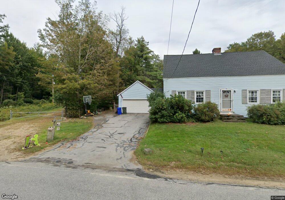
This home is located at 77 Bow Bog Rd, Bow, NH 03304 and is currently estimated at $537,928, approximately $286 per square foot. 77 Bow Bog Rd is a home located in Merrimack County with nearby schools including Bow Elementary School, Bow Memorial School, and Bow High School.
Ownership History
Date
Name
Owned For
Owner Type
Purchase Details
Closed on
Jul 1, 2011
Sold by
Leighton Lynwood A and Leighton Marie D
Bought by
Stratton Elizabeth R and Ritter Franklin D
Current Estimated Value
Home Financials for this Owner
Home Financials are based on the most recent Mortgage that was taken out on this home.
Original Mortgage
$197,366
Outstanding Balance
$136,485
Interest Rate
4.62%
Mortgage Type
Purchase Money Mortgage
Estimated Equity
$401,443
Create a Home Valuation Report for This Property
The Home Valuation Report is an in-depth analysis detailing your home's value as well as a comparison with similar homes in the area
Home Values in the Area
Average Home Value in this Area
Purchase History
| Date | Buyer | Sale Price | Title Company |
|---|---|---|---|
| Stratton Elizabeth R | $202,500 | -- |
Source: Public Records
Mortgage History
| Date | Status | Borrower | Loan Amount |
|---|---|---|---|
| Open | Stratton Elizabeth R | $197,366 |
Source: Public Records
Tax History Compared to Growth
Tax History
| Year | Tax Paid | Tax Assessment Tax Assessment Total Assessment is a certain percentage of the fair market value that is determined by local assessors to be the total taxable value of land and additions on the property. | Land | Improvement |
|---|---|---|---|---|
| 2024 | $7,348 | $371,500 | $134,700 | $236,800 |
| 2023 | $7,030 | $252,800 | $95,200 | $157,600 |
| 2022 | $6,704 | $252,800 | $95,200 | $157,600 |
| 2021 | $6,523 | $255,900 | $95,200 | $160,700 |
| 2020 | $6,546 | $255,900 | $95,200 | $160,700 |
| 2019 | $6,707 | $255,900 | $95,200 | $160,700 |
| 2018 | $6,145 | $221,200 | $86,900 | $134,300 |
| 2017 | $6,146 | $221,300 | $86,900 | $134,400 |
| 2016 | $5,818 | $221,300 | $86,900 | $134,400 |
| 2015 | $5,403 | $189,300 | $86,900 | $102,400 |
| 2014 | $5,586 | $189,300 | $86,900 | $102,400 |
| 2011 | $5,025 | $185,100 | $86,900 | $98,200 |
Source: Public Records
Map
Nearby Homes
- 36 Westover Ln Unit k
- 42 Westover Ln
- 49 Robinson Rd
- 29 Westover Ln
- 7 Morgan Dr
- 40 Sawmill Rd
- 77 White Rock Hill Rd
- 104 Brown Hill Rd
- 4 Bow Center Rd Unit F2
- 4 Bow Center Rd Unit B2
- 1 Hop Kiln Rd
- 0 Brown Hill Rd Unit 5032600
- 43 Sterling Place
- 62 Pine St
- 5 Holly Cir
- 15 S Bow Dunbarton Rd
- 24 Grandview Rd
- 13 S Bow Dunbarton Rd
- Lot 41-B Quimby Rd
- 70 Gile Hill Rd
- 74 Bow Bog Rd
- 79 Bow Bog Rd
- 76 Bow Bog Rd
- 96 Robinson Rd
- 462 Robinson Rd
- 68 S Bow Rd
- 68 Bow Bog Rd
- 94 Robinson Rd
- 97 Robinson Rd
- 95 Robinson Rd
- 93 Robinson Rd
- 66 Bow Bog Rd
- 78 Branch Londonderry Turnpike E
- 78 S Bow Rd
- 78 Bow Bog Rd
- 83 Bow Bog Rd
- 91 Robinson Rd
- 92 Robinson Rd
- 69 Bow Bog Rd
- 80 Branch Londonderry Turnpike E