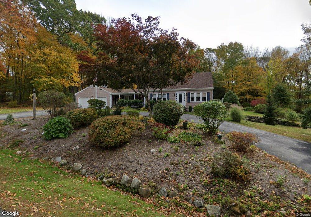
77 Carue Dr North Scituate, RI 02857
Estimated Value: $598,807 - $646,000
3
Beds
3
Baths
2,213
Sq Ft
$282/Sq Ft
Est. Value
About This Home
This home is located at 77 Carue Dr, North Scituate, RI 02857 and is currently estimated at $624,702, approximately $282 per square foot. 77 Carue Dr is a home located in Providence County with nearby schools including Clayville School, Scituate Middle School, and Scituate High School.
Ownership History
Date
Name
Owned For
Owner Type
Purchase Details
Closed on
Oct 19, 2012
Sold by
Higgins Patricia A
Bought by
Patricia A Higgins Ret
Current Estimated Value
Home Financials for this Owner
Home Financials are based on the most recent Mortgage that was taken out on this home.
Original Mortgage
$87,600
Outstanding Balance
$60,888
Interest Rate
3.59%
Estimated Equity
$563,814
Purchase Details
Closed on
Jul 30, 2012
Sold by
Higgins Ft
Bought by
Higgins Patricia A
Purchase Details
Closed on
Apr 6, 1992
Sold by
Rutter Rawlston S
Bought by
Higgins James L
Home Financials for this Owner
Home Financials are based on the most recent Mortgage that was taken out on this home.
Original Mortgage
$156,000
Interest Rate
8.73%
Create a Home Valuation Report for This Property
The Home Valuation Report is an in-depth analysis detailing your home's value as well as a comparison with similar homes in the area
Home Values in the Area
Average Home Value in this Area
Purchase History
| Date | Buyer | Sale Price | Title Company |
|---|---|---|---|
| Patricia A Higgins Ret | -- | -- | |
| Higgins Patricia A | -- | -- | |
| Higgins James L | $203,500 | -- |
Source: Public Records
Mortgage History
| Date | Status | Borrower | Loan Amount |
|---|---|---|---|
| Open | Higgins James L | $87,600 | |
| Previous Owner | Higgins James L | $150,000 | |
| Previous Owner | Higgins James L | $141,000 | |
| Previous Owner | Higgins James L | $156,000 |
Source: Public Records
Tax History Compared to Growth
Tax History
| Year | Tax Paid | Tax Assessment Tax Assessment Total Assessment is a certain percentage of the fair market value that is determined by local assessors to be the total taxable value of land and additions on the property. | Land | Improvement |
|---|---|---|---|---|
| 2025 | $7,081 | $408,600 | $117,800 | $290,800 |
| 2024 | $7,081 | $408,600 | $117,800 | $290,800 |
| 2023 | $6,848 | $408,600 | $117,800 | $290,800 |
| 2022 | $6,693 | $408,600 | $117,800 | $290,800 |
| 2021 | $6,547 | $350,300 | $107,300 | $243,000 |
| 2020 | $6,400 | $350,300 | $107,300 | $243,000 |
| 2019 | $6,267 | $350,300 | $107,300 | $243,000 |
| 2018 | $5,986 | $308,700 | $96,000 | $212,700 |
| 2017 | $5,810 | $308,700 | $96,000 | $212,700 |
| 2016 | $5,569 | $308,700 | $96,000 | $212,700 |
| 2015 | $5,231 | $273,000 | $88,200 | $184,800 |
| 2014 | $5,182 | $273,000 | $88,200 | $184,800 |
Source: Public Records
Map
Nearby Homes
- 955 Chopmist Hill Rd
- 1224 Hartford Pike
- 1240 Hartford Pike
- 399 Bungy Rd
- 15 Apple Hill Dr
- 1101 Danielson Pike
- 0 Danielson Pike Unit 1347736
- 785 Danielson Pike
- 2 Winsor
- 0 Stone Dam Rd
- 737 Danielson Pike
- 55 Gentry Way
- 261 Quaker Ln
- 1289 Snake Hill Rd
- 302 Chopmist Hill Rd
- 369 Hunting House Rd
- 0 Central Pike
- 0 Cranberry Ridge Rd
- 0 Quaker Ln
- 0 Huntinghouse Rd
- 80 Carue Dr
- 89 Carue Dr
- 76 Carue Dr
- 1023 Chopmist Hill Rd
- 65 Carue Dr
- 1031 Chopmist Hill Rd
- 90 Carue Dr
- 1037 Chopmist Hill Rd
- 40 Carue Dr
- 57 Carue Dr
- 1045 Chopmist Hill Rd
- 30 Carue Dr
- 47 Carue Dr
- 0 Carriage Hill Rd Unit 1198464
- 0 Carriage Hill Rd Unit 1202908
- 00 Carriage Hill Rd
- 0 Carriage Hill Rd Unit 1213381
- 0 Carriage Hill Rd Unit 1212784
- 39 Carue Dr
- 1046 Chopmist Hill Rd