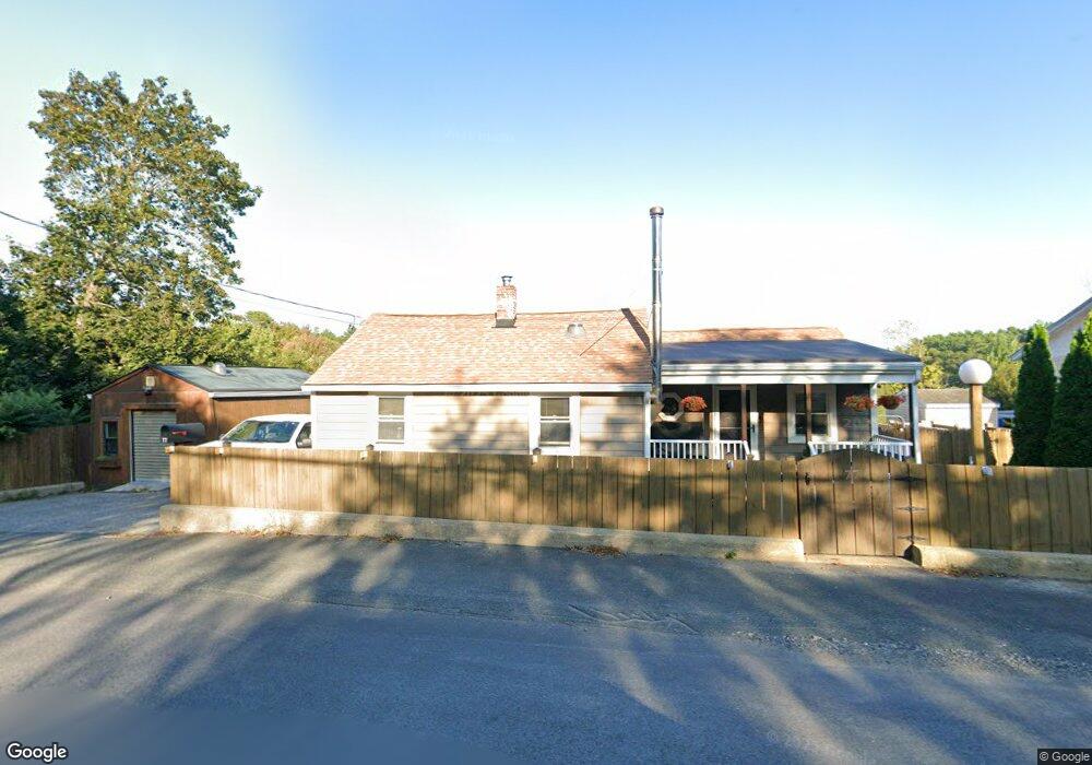
77 Concord St Gloucester, MA 01930
West Gloucester NeighborhoodEstimated Value: $528,000 - $649,000
2
Beds
1
Bath
1,487
Sq Ft
$408/Sq Ft
Est. Value
About This Home
This home is located at 77 Concord St, Gloucester, MA 01930 and is currently estimated at $607,047, approximately $408 per square foot. 77 Concord St is a home located in Essex County with nearby schools including West Parish, Ralph B O'maley Middle School, and Gloucester High School.
Ownership History
Date
Name
Owned For
Owner Type
Purchase Details
Closed on
Aug 29, 2000
Sold by
Aubrey Mildred H and Aubrey William J
Bought by
Aubrey William J
Current Estimated Value
Home Financials for this Owner
Home Financials are based on the most recent Mortgage that was taken out on this home.
Original Mortgage
$100,000
Interest Rate
8.06%
Mortgage Type
Purchase Money Mortgage
Create a Home Valuation Report for This Property
The Home Valuation Report is an in-depth analysis detailing your home's value as well as a comparison with similar homes in the area
Home Values in the Area
Average Home Value in this Area
Purchase History
| Date | Buyer | Sale Price | Title Company |
|---|---|---|---|
| Aubrey William J | $150,000 | -- |
Source: Public Records
Mortgage History
| Date | Status | Borrower | Loan Amount |
|---|---|---|---|
| Open | Aubrey William J | $18,319 | |
| Open | Aubrey William J | $150,000 | |
| Closed | Aubrey William J | $124,000 | |
| Closed | Aubrey William J | $100,000 |
Source: Public Records
Tax History
| Year | Tax Paid | Tax Assessment Tax Assessment Total Assessment is a certain percentage of the fair market value that is determined by local assessors to be the total taxable value of land and additions on the property. | Land | Improvement |
|---|---|---|---|---|
| 2025 | $4,840 | $497,900 | $173,700 | $324,200 |
| 2024 | $4,715 | $484,600 | $165,500 | $319,100 |
| 2023 | $4,741 | $447,700 | $147,700 | $300,000 |
| 2022 | $4,473 | $381,300 | $128,500 | $252,800 |
| 2021 | $4,502 | $361,900 | $116,800 | $245,100 |
| 2020 | $4,192 | $340,000 | $116,800 | $223,200 |
| 2019 | $4,137 | $326,000 | $116,800 | $209,200 |
| 2018 | $4,074 | $315,100 | $116,800 | $198,300 |
| 2017 | $3,402 | $257,900 | $111,300 | $146,600 |
| 2016 | $3,185 | $234,000 | $116,100 | $117,900 |
| 2015 | $3,213 | $235,400 | $116,100 | $119,300 |
Source: Public Records
Map
Nearby Homes
- 368 Essex Ave
- 5 Samoset Rd Unit B
- 7 Leaman Dr
- 5 Lepage Ln
- 24 Cobblestone Ln Unit 603
- 145 Essex Ave Unit 402
- 587 Essex Ave
- 167 Atlantic St
- 13 Honeysuckle Rd
- 178 Atlantic St
- 3 Rockland St
- 5 Marshfield St
- 226 Atlantic St
- 2 Breezy Point Rd
- 3 Deacon Farm Ln
- 15 Lufkin Point Rd
- 31 Echo Ave
- 15 Harvard St
- 6 Monroe Ct
- 13 Leslie o Johnson Rd
Your Personal Tour Guide
Ask me questions while you tour the home.