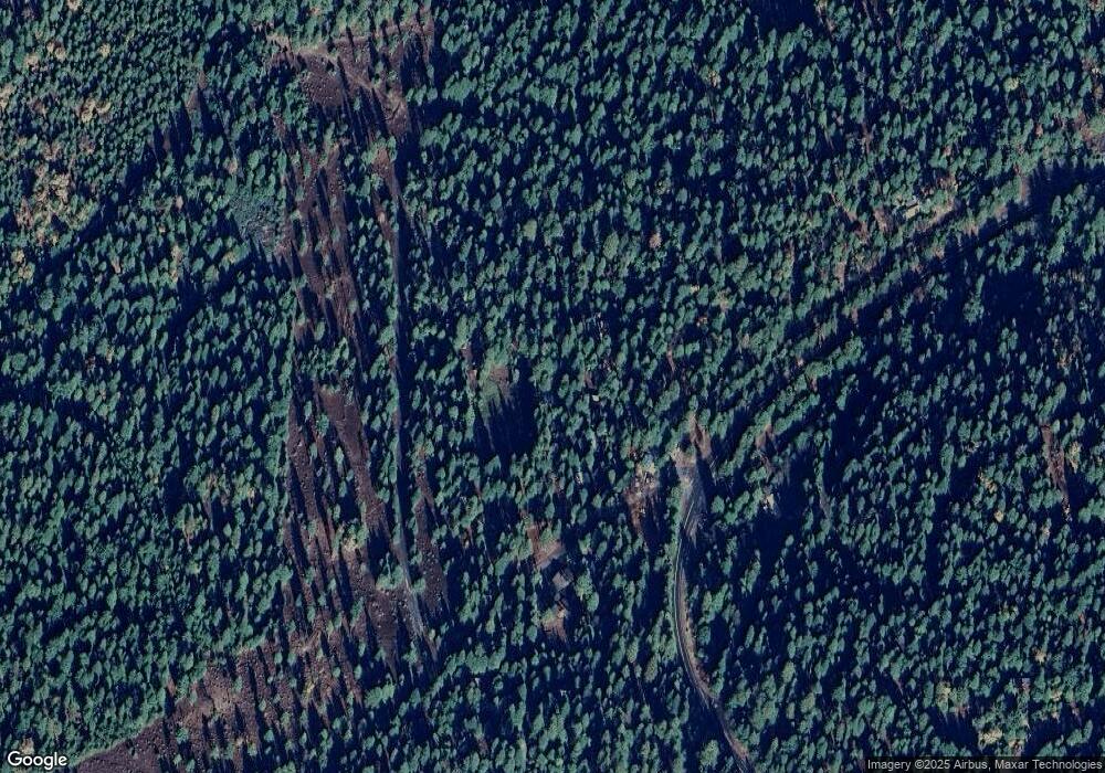
77 Creekside Dr Arnold, CA 95223
Estimated Value: $236,740 - $296,000
2
Beds
1
Bath
1,170
Sq Ft
$223/Sq Ft
Est. Value
About This Home
This home is located at 77 Creekside Dr, Arnold, CA 95223 and is currently estimated at $261,435, approximately $223 per square foot. 77 Creekside Dr is a home with nearby schools including Bret Harte Union High School.
Ownership History
Date
Name
Owned For
Owner Type
Purchase Details
Closed on
May 9, 2017
Sold by
Beach Clifford S and Beach Eleanor M
Bought by
Beach Clifford S and Beach Eleanor M
Current Estimated Value
Purchase Details
Closed on
Nov 19, 2004
Sold by
Beach Clifford S and Beach Eleanor M
Bought by
Beach Clifford S and Beach Eleanor M
Home Financials for this Owner
Home Financials are based on the most recent Mortgage that was taken out on this home.
Original Mortgage
$75,000
Interest Rate
5.65%
Mortgage Type
Stand Alone Refi Refinance Of Original Loan
Create a Home Valuation Report for This Property
The Home Valuation Report is an in-depth analysis detailing your home's value as well as a comparison with similar homes in the area
Purchase History
| Date | Buyer | Sale Price | Title Company |
|---|---|---|---|
| Beach Clifford S | -- | None Available | |
| Beach Clifford S | -- | Chicago Title Company |
Source: Public Records
Mortgage History
| Date | Status | Borrower | Loan Amount |
|---|---|---|---|
| Closed | Beach Clifford S | $75,000 |
Source: Public Records
Tax History
| Year | Tax Paid | Tax Assessment Tax Assessment Total Assessment is a certain percentage of the fair market value that is determined by local assessors to be the total taxable value of land and additions on the property. | Land | Improvement |
|---|---|---|---|---|
| 2025 | $1,536 | $88,787 | $19,500 | $69,287 |
| 2023 | $1,495 | $85,342 | $18,744 | $66,598 |
| 2022 | $1,344 | $83,670 | $18,377 | $65,293 |
| 2021 | $1,334 | $82,030 | $18,017 | $64,013 |
| 2020 | $1,318 | $81,190 | $17,833 | $63,357 |
| 2019 | $1,301 | $79,599 | $17,484 | $62,115 |
| 2018 | $1,144 | $78,040 | $17,142 | $60,898 |
| 2017 | $1,120 | $76,510 | $16,806 | $59,704 |
| 2016 | $1,117 | $75,011 | $16,477 | $58,534 |
| 2015 | -- | $73,885 | $16,230 | $57,655 |
| 2014 | -- | $72,439 | $15,913 | $56,526 |
Source: Public Records
Map
Nearby Homes
- 4169 California 4
- 232 Iroquois Dr
- 3561 Highway 4
- 4341 Walapar Ln
- 3380 El Camino Boot Strap
- 3112 Apache Rd
- 4571 Jibway Dr
- 10 Timber Trail Ct
- 11 Timber Trail Ct
- 1650 Shoshone Dr
- 1619 Shoshone Dr
- 1694 Shoshone Dr
- 3043 Shoshone Dr
- 2883 Chinook Way
- 2821 Tahos Dr
- 403 Sierra Pkwy
- 2179 Navajo Dr
- 5186 Meko Dr
- 2434 Dardanelle Vista
- 1262 Pebble Beach Way
- 53 Creekside Dr
- 97 Creekside Dr
- 41 Creekside Dr
- 107 Creekside Dr
- 114 Creekside Dr
- 124 Creekside Dr
- 27 Creekside Dr
- 4027 Highway 4
- 109 Creekside Dr
- 84 Summit Level Rd
- 111 Creekside Dr
- 138 Creekside Dr
- 149 Creekside Dr
- 59 Summit Level Rd
- 150 Creekside Dr
- 63 Campbell Ln
- 75 Campbell Ln
- 135 Creekside Dr
- 163 Creekside Dr
- 4059 Highway 4
Your Personal Tour Guide
Ask me questions while you tour the home.
