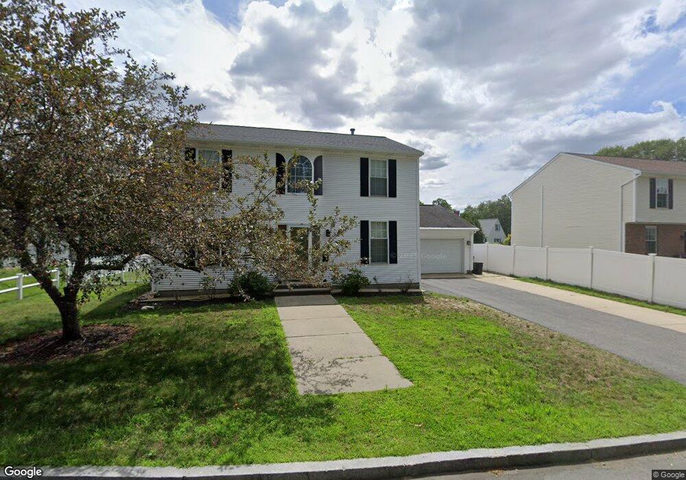
77 Crown Ave Riverside, RI 02915
Outer East Bay NeighborhoodEstimated Value: $508,000 - $638,000
4
Beds
2
Baths
1,904
Sq Ft
$317/Sq Ft
Est. Value
About This Home
This home is located at 77 Crown Ave, Riverside, RI 02915 and is currently estimated at $603,795, approximately $317 per square foot. 77 Crown Ave is a home located in Providence County with nearby schools including East Providence High School, St Mary Academy-Bay View, and The Gordon School.
Ownership History
Date
Name
Owned For
Owner Type
Purchase Details
Closed on
Oct 24, 2005
Sold by
Hammo Abdel Hai and Hammo Iman Falchouri
Bought by
Souza Joseph and Bouliane Michelle R
Current Estimated Value
Home Financials for this Owner
Home Financials are based on the most recent Mortgage that was taken out on this home.
Original Mortgage
$304,800
Outstanding Balance
$162,732
Interest Rate
5.72%
Mortgage Type
Purchase Money Mortgage
Estimated Equity
$441,063
Purchase Details
Closed on
May 19, 1999
Sold by
Mateus Luis A and Mateus Alzira
Bought by
Hammo Abdel Hai and Hammo Iman
Create a Home Valuation Report for This Property
The Home Valuation Report is an in-depth analysis detailing your home's value as well as a comparison with similar homes in the area
Home Values in the Area
Average Home Value in this Area
Purchase History
| Date | Buyer | Sale Price | Title Company |
|---|---|---|---|
| Souza Joseph | $381,000 | -- | |
| Hammo Abdel Hai | $155,000 | -- | |
| Souza Joseph | $381,000 | -- | |
| Hammo Abdel Hai | $155,000 | -- |
Source: Public Records
Mortgage History
| Date | Status | Borrower | Loan Amount |
|---|---|---|---|
| Open | Hammo Abdel Hai | $304,800 | |
| Closed | Hammo Abdel Hai | $76,200 | |
| Closed | Hammo Abdel Hai | $304,800 |
Source: Public Records
Tax History
| Year | Tax Paid | Tax Assessment Tax Assessment Total Assessment is a certain percentage of the fair market value that is determined by local assessors to be the total taxable value of land and additions on the property. | Land | Improvement |
|---|---|---|---|---|
| 2025 | $8,016 | $613,300 | $153,100 | $460,200 |
| 2024 | $7,141 | $465,800 | $127,600 | $338,200 |
| 2023 | $6,875 | $465,800 | $127,600 | $338,200 |
| 2022 | $7,157 | $327,400 | $72,400 | $255,000 |
| 2021 | $7,039 | $327,400 | $72,100 | $255,300 |
| 2020 | $6,546 | $317,900 | $72,100 | $245,800 |
| 2019 | $6,364 | $317,900 | $72,100 | $245,800 |
| 2018 | $6,047 | $264,300 | $55,800 | $208,500 |
| 2017 | $5,912 | $264,300 | $55,800 | $208,500 |
| 2016 | $5,883 | $264,300 | $55,800 | $208,500 |
| 2015 | $6,070 | $264,500 | $51,700 | $212,800 |
| 2014 | $6,070 | $264,500 | $51,700 | $212,800 |
Source: Public Records
Map
Nearby Homes
- 42 Mountain Ave
- 2941 Pawtucket Ave
- 53 Wampanoag Trail
- 34 Commack Rd
- 14 Waterview Ave Unit 16
- 74 Brookhaven Dr
- 106 Wannamoisett Rd
- 29 Ide Ave
- 177 Dover Ave
- 77 Gardiner Ave
- 151 Dover Ave
- 158 S Rose St
- 26 Callender Ave
- 191 S Spruce St
- 378 Juniper St
- 6 Fuller Ave
- 21 Donnelly St
- 25 Bullocks Point Ave Unit 5C
- 25 Ingraham St
- 33 Bullocks Point Ave Unit 5C
- 73 Crown Ave
- 81 Crown Ave
- 101 Gerald St
- 85 Crown Ave
- 60 Crown Ave
- 900 Veterans Memorial Pkwy
- 4 Mountain Ave
- 18 Mountain Ave
- 89 Crown Ave
- 94 Crown Ave
- 74 Bay View Ave
- 30 Mountain Ave
- 82 Gerald St
- 86 Bay View Ave
- 26 Mountain Ave
- 90 Bay View Ave
- 34 Mountain Ave
- 50 Crown Ave
- 98 Crown Ave
- 70 Bay View Ave
Your Personal Tour Guide
Ask me questions while you tour the home.