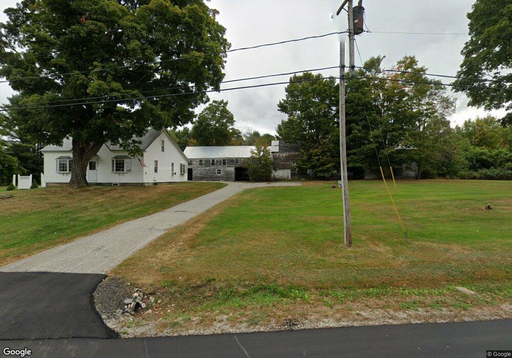
77 Dunn Rd Poland, ME 04274
Estimated Value: $355,000 - $429,000
3
Beds
1
Bath
1,710
Sq Ft
$219/Sq Ft
Est. Value
About This Home
This home is located at 77 Dunn Rd, Poland, ME 04274 and is currently estimated at $374,065, approximately $218 per square foot. 77 Dunn Rd is a home located in Androscoggin County with nearby schools including Poland Community School, Bruce M. Whittier Middle School, and Poland Regional High School.
Ownership History
Date
Name
Owned For
Owner Type
Purchase Details
Closed on
May 12, 2023
Sold by
Cash Derek L
Bought by
Cash Derek L and Cash Jessica D
Current Estimated Value
Home Financials for this Owner
Home Financials are based on the most recent Mortgage that was taken out on this home.
Original Mortgage
$37,000
Outstanding Balance
$35,950
Interest Rate
6.28%
Mortgage Type
Second Mortgage Made To Cover Down Payment
Estimated Equity
$338,115
Purchase Details
Closed on
May 27, 2013
Sold by
Cash Derek L and Cash Katie K
Bought by
Cash Derek L
Purchase Details
Closed on
Jul 8, 2009
Sold by
Gagnon Sharon
Bought by
Cash Derek L and Cash Katie K
Home Financials for this Owner
Home Financials are based on the most recent Mortgage that was taken out on this home.
Original Mortgage
$141,000
Interest Rate
4.93%
Mortgage Type
VA
Create a Home Valuation Report for This Property
The Home Valuation Report is an in-depth analysis detailing your home's value as well as a comparison with similar homes in the area
Home Values in the Area
Average Home Value in this Area
Purchase History
| Date | Buyer | Sale Price | Title Company |
|---|---|---|---|
| Cash Derek L | -- | None Available | |
| Cash Derek L | -- | -- | |
| Cash Derek L | -- | -- |
Source: Public Records
Mortgage History
| Date | Status | Borrower | Loan Amount |
|---|---|---|---|
| Open | Cash Derek L | $37,000 | |
| Previous Owner | Cash Derek L | $141,000 |
Source: Public Records
Tax History
| Year | Tax Paid | Tax Assessment Tax Assessment Total Assessment is a certain percentage of the fair market value that is determined by local assessors to be the total taxable value of land and additions on the property. | Land | Improvement |
|---|---|---|---|---|
| 2024 | $2,789 | $168,700 | $54,700 | $114,000 |
| 2023 | $2,301 | $168,700 | $54,700 | $114,000 |
| 2022 | $2,123 | $140,600 | $45,600 | $95,000 |
| 2021 | $2,123 | $140,600 | $45,600 | $95,000 |
| 2020 | $2,012 | $134,300 | $39,300 | $95,000 |
| 2019 | $2,886 | $134,300 | $39,300 | $95,000 |
| 2018 | $2,807 | $134,290 | $39,270 | $95,020 |
| 2016 | $1,932 | $134,290 | $39,270 | $95,020 |
| 2015 | $1,907 | $134,290 | $39,270 | $95,020 |
| 2014 | $1,880 | $134,290 | $39,270 | $95,020 |
| 2013 | $1,833 | $134,290 | $39,270 | $95,020 |
Source: Public Records
Map
Nearby Homes
- 795Lot #3 Empire Rd
- 795 Lot #2 Empire Rd
- 26 Front Ave
- 436 Foster Rd
- 218 Bailey Hill Rd
- M10 L35 Plains Rd
- 139 Fletcher Rd
- 668 Fletcher Rd
- 15 Country Club Dr
- 17 Lower Rd
- 339 Harris Hill Rd
- 31 Bellflower Dr
- 16 Harvest Hill Ln Unit 2
- Lot 46-1 Maine St
- Lot 47C-D Maine St
- 53 Westview Dr
- 14 Harvest Hill Ln Unit 1
- 368 Beech Hill Rd
- 46-47D Hines Rd & Main St
- Lot 47C Hines Rd
Your Personal Tour Guide
Ask me questions while you tour the home.