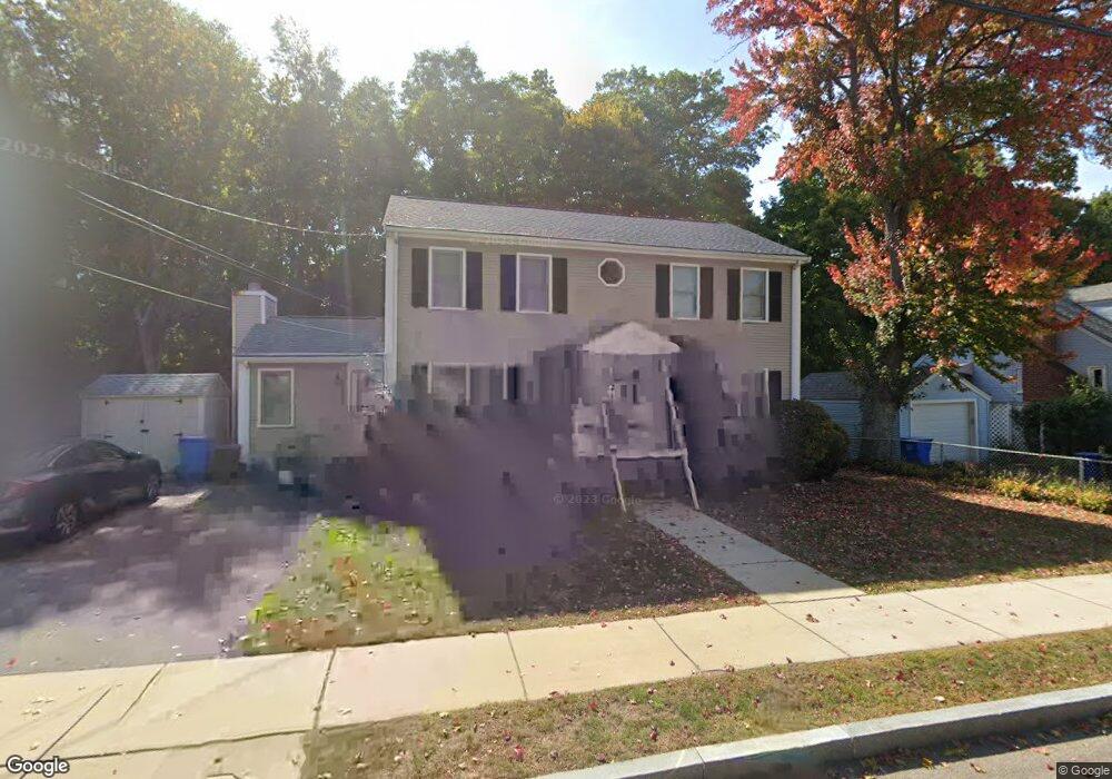
77 Farnum Rd Waltham, MA 02453
Warrendale NeighborhoodEstimated Value: $955,000 - $1,049,000
4
Beds
3
Baths
1,824
Sq Ft
$543/Sq Ft
Est. Value
About This Home
This home is located at 77 Farnum Rd, Waltham, MA 02453 and is currently estimated at $990,352, approximately $542 per square foot. 77 Farnum Rd is a home located in Middlesex County with nearby schools including James Fitzgerald Elementary School, John W. Mcdevitt Middle School, and Waltham Sr High School.
Ownership History
Date
Name
Owned For
Owner Type
Purchase Details
Closed on
Mar 8, 2024
Sold by
Kramer Susan E
Bought by
Susan E Kramer 2023 T E and Susan Kramer
Current Estimated Value
Purchase Details
Closed on
Jul 25, 1995
Sold by
Cusano Joseph G and Cusano Caroline C
Bought by
Kramer David S and Kramer Susan E
Home Financials for this Owner
Home Financials are based on the most recent Mortgage that was taken out on this home.
Original Mortgage
$180,800
Interest Rate
7.49%
Mortgage Type
Purchase Money Mortgage
Purchase Details
Closed on
Jun 23, 1994
Sold by
Toomey Gertrude F
Bought by
Cusano Joseph G and Cusano Caroline C
Home Financials for this Owner
Home Financials are based on the most recent Mortgage that was taken out on this home.
Original Mortgage
$96,000
Interest Rate
8.74%
Mortgage Type
Purchase Money Mortgage
Create a Home Valuation Report for This Property
The Home Valuation Report is an in-depth analysis detailing your home's value as well as a comparison with similar homes in the area
Home Values in the Area
Average Home Value in this Area
Purchase History
| Date | Buyer | Sale Price | Title Company |
|---|---|---|---|
| Susan E Kramer 2023 T E | -- | None Available | |
| Kramer David S | $226,000 | -- | |
| Cusano Joseph G | $120,000 | -- |
Source: Public Records
Mortgage History
| Date | Status | Borrower | Loan Amount |
|---|---|---|---|
| Previous Owner | Kramer David S | $132,527 | |
| Previous Owner | Kramer David S | $180,800 | |
| Previous Owner | Cusano Joseph G | $96,000 |
Source: Public Records
Tax History Compared to Growth
Tax History
| Year | Tax Paid | Tax Assessment Tax Assessment Total Assessment is a certain percentage of the fair market value that is determined by local assessors to be the total taxable value of land and additions on the property. | Land | Improvement |
|---|---|---|---|---|
| 2025 | $8,000 | $814,700 | $488,400 | $326,300 |
| 2024 | $7,582 | $786,500 | $464,700 | $321,800 |
| 2023 | $7,658 | $742,100 | $441,100 | $301,000 |
| 2022 | $7,760 | $696,600 | $409,600 | $287,000 |
| 2021 | $7,699 | $680,100 | $409,600 | $270,500 |
| 2020 | $7,500 | $627,600 | $378,100 | $249,500 |
| 2019 | $7,312 | $577,600 | $370,000 | $207,600 |
| 2018 | $6,674 | $529,300 | $342,600 | $186,700 |
| 2017 | $6,252 | $497,800 | $311,100 | $186,700 |
| 2016 | $5,563 | $454,500 | $267,800 | $186,700 |
| 2015 | $5,371 | $409,100 | $236,300 | $172,800 |
Source: Public Records
Map
Nearby Homes
- 59 Farnum Rd
- 135 Grove St Unit 135
- 164 Grove St
- 220 Grove St Unit 1
- 78 Barbara Rd Unit 1
- 21 Warren St Unit 2-4
- 10 Naviens Ln Unit 2
- 34 Cedar Hill Ln
- 266 Linden St
- 176 River St
- 240 River St
- 180 River St Unit 9
- 266-274 River St
- 3 Repton Cir Unit 3204
- 71 Gleason St
- 28-32 Calvary St
- 63-65 Evans St
- 1 Farwell Cir
- 36 Hollace St
- 214 Church St