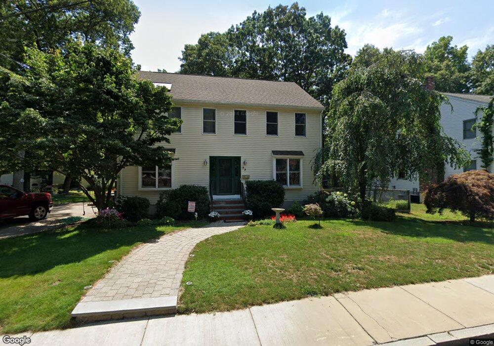
77 Furbush Rd West Roxbury, MA 02132
West Roxbury NeighborhoodEstimated Value: $1,037,000 - $1,207,000
4
Beds
3
Baths
2,131
Sq Ft
$519/Sq Ft
Est. Value
About This Home
This home is located at 77 Furbush Rd, West Roxbury, MA 02132 and is currently estimated at $1,106,510, approximately $519 per square foot. 77 Furbush Rd is a home located in Suffolk County with nearby schools including Holy Name Parish School, St Theresa School, and Catholic Memorial School.
Ownership History
Date
Name
Owned For
Owner Type
Purchase Details
Closed on
Apr 3, 2013
Sold by
Stacey Eve A
Bought by
Mello Robert M and Mello Marjorie
Current Estimated Value
Purchase Details
Closed on
Apr 5, 2010
Sold by
Piemonte-Stacey Eveanne and Piemonte-Stacey Stacey Scott
Bought by
Mello Robert M and Mello Marjorie A
Home Financials for this Owner
Home Financials are based on the most recent Mortgage that was taken out on this home.
Original Mortgage
$100,000
Interest Rate
4.94%
Mortgage Type
Purchase Money Mortgage
Create a Home Valuation Report for This Property
The Home Valuation Report is an in-depth analysis detailing your home's value as well as a comparison with similar homes in the area
Home Values in the Area
Average Home Value in this Area
Purchase History
| Date | Buyer | Sale Price | Title Company |
|---|---|---|---|
| Mello Robert M | -- | -- | |
| Mello Robert M | $627,500 | -- |
Source: Public Records
Mortgage History
| Date | Status | Borrower | Loan Amount |
|---|---|---|---|
| Previous Owner | Mello Robert M | $100,000 |
Source: Public Records
Tax History Compared to Growth
Tax History
| Year | Tax Paid | Tax Assessment Tax Assessment Total Assessment is a certain percentage of the fair market value that is determined by local assessors to be the total taxable value of land and additions on the property. | Land | Improvement |
|---|---|---|---|---|
| 2025 | $12,137 | $1,048,100 | $328,200 | $719,900 |
| 2024 | $11,517 | $1,056,600 | $338,600 | $718,000 |
| 2023 | $11,013 | $1,025,400 | $328,600 | $696,800 |
| 2022 | $10,142 | $932,200 | $298,700 | $633,500 |
| 2021 | $9,357 | $876,900 | $284,500 | $592,400 |
| 2020 | $8,181 | $774,700 | $270,400 | $504,300 |
| 2019 | $7,851 | $744,900 | $223,400 | $521,500 |
| 2018 | $7,229 | $689,800 | $223,400 | $466,400 |
| 2017 | $7,130 | $673,300 | $220,100 | $453,200 |
| 2016 | $6,857 | $623,400 | $220,100 | $403,300 |
| 2015 | $6,886 | $568,600 | $191,800 | $376,800 |
| 2014 | $6,748 | $536,400 | $191,800 | $344,600 |
Source: Public Records
Map
Nearby Homes
- 845 Lagrange St Unit 4
- 865 Lagrange St Unit 5
- 139 Newfield St
- 931 Lagrange St
- 701 Vfw Pkwy
- 89 Dwinell St
- 579 Baker St Unit 579
- 577 Baker St Unit 577
- 76 Vermont St
- 1307 Lagrange St Unit 1307
- 23 Westgate Rd Unit 6
- 9 Carroll St
- 168 Maple St
- 42 Bryon Rd Unit 6
- 21 Westgate Rd Unit 6
- 331 Vermont St
- 64 Bryon Rd Unit 1
- 57 Broadlawn Park Unit 4B
- 44 Broadlawn Park Unit 22
- 539 Lagrange St