77 Graham Ridge Rd Naugatuck, CT 06770
Estimated Value: $567,000 - $697,000
4
Beds
2
Baths
3,088
Sq Ft
$199/Sq Ft
Est. Value
About This Home
This home is located at 77 Graham Ridge Rd, Naugatuck, CT 06770 and is currently estimated at $615,570, approximately $199 per square foot. 77 Graham Ridge Rd is a home located in New Haven County with nearby schools including City Hill Middle School, Naugatuck High School, and Westover School.
Ownership History
Date
Name
Owned For
Owner Type
Purchase Details
Closed on
Sep 4, 2015
Sold by
Le Rin V
Bought by
Le Hoeun
Current Estimated Value
Purchase Details
Closed on
Feb 17, 2005
Sold by
Bizati Nevzat
Bought by
Le Hoeun and Le Rin Ven
Home Financials for this Owner
Home Financials are based on the most recent Mortgage that was taken out on this home.
Original Mortgage
$320,000
Interest Rate
5.78%
Mortgage Type
Purchase Money Mortgage
Create a Home Valuation Report for This Property
The Home Valuation Report is an in-depth analysis detailing your home's value as well as a comparison with similar homes in the area
Home Values in the Area
Average Home Value in this Area
Purchase History
| Date | Buyer | Sale Price | Title Company |
|---|---|---|---|
| Le Hoeun | -- | -- | |
| Le Hoeun | $400,000 | -- |
Source: Public Records
Mortgage History
| Date | Status | Borrower | Loan Amount |
|---|---|---|---|
| Previous Owner | Le Hoeun | $225,000 | |
| Previous Owner | Le Hoeun | $320,000 | |
| Previous Owner | Le Hoeun | $280,000 |
Source: Public Records
Tax History Compared to Growth
Tax History
| Year | Tax Paid | Tax Assessment Tax Assessment Total Assessment is a certain percentage of the fair market value that is determined by local assessors to be the total taxable value of land and additions on the property. | Land | Improvement |
|---|---|---|---|---|
| 2025 | $11,963 | $300,650 | $41,860 | $258,790 |
| 2024 | $12,564 | $300,650 | $41,860 | $258,790 |
| 2023 | $13,454 | $300,650 | $41,860 | $258,790 |
| 2022 | $10,996 | $230,280 | $44,260 | $186,020 |
| 2021 | $10,996 | $230,280 | $44,260 | $186,020 |
| 2020 | $10,996 | $230,280 | $44,260 | $186,020 |
| 2019 | $10,881 | $230,280 | $44,260 | $186,020 |
| 2018 | $11,403 | $235,850 | $66,150 | $169,700 |
| 2017 | $11,451 | $235,850 | $66,150 | $169,700 |
| 2016 | $11,243 | $235,850 | $66,150 | $169,700 |
| 2015 | $10,748 | $235,850 | $66,150 | $169,700 |
| 2014 | $10,627 | $235,850 | $66,150 | $169,700 |
| 2012 | $10,130 | $301,950 | $75,550 | $226,400 |
Source: Public Records
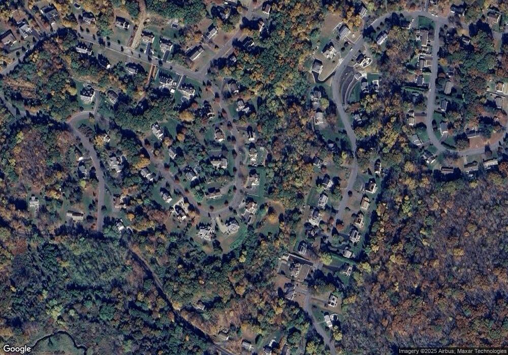
Map
Nearby Homes
- 243 Stonefence Rd
- 0 Westover Dr
- 117 Stonefence Rd
- 35 Crofut Rd
- 75 Allerton Rd
- 0 Evelyn Dr Unit 24124911
- 739 Field St
- 96 Round Hill Rd
- 587 Shadduck Rd
- 31 Pilgrim Ln
- 627 Millville Ave Unit 9-8
- 151 Timothy Rd
- 671 Rubber Ave
- 92 Birch Ln
- 19 Casper Ct
- 49 Damson Ln
- 383 Leonard Rd
- 28 Tower Ln
- 146 Coach Cir Unit 5
- 65 Round Tree Dr Unit 5
- 85 Graham Ridge Rd
- 69 Graham Ridge Rd
- 253 Stonefence Rd
- 263 Stonefence Rd
- 233 Stonefence Rd
- 93 Graham Ridge Rd
- 273 Stonefence Rd
- 86 Graham Ridge Rd
- 67 Graham Ridge Rd
- 56 Graham Ridge Rd
- 219 Stonefence Rd
- 283 Stonefence Rd
- 205 Stonefence Rd
- 102 Graham Ridge Rd
- 101 Graham Ridge Rd
- 36 Graham Ridge Rd
- 303 Stonefence Rd
- 195 Stonefence Rd
- 260 Stonefence Rd
- 250 Stonefence Rd