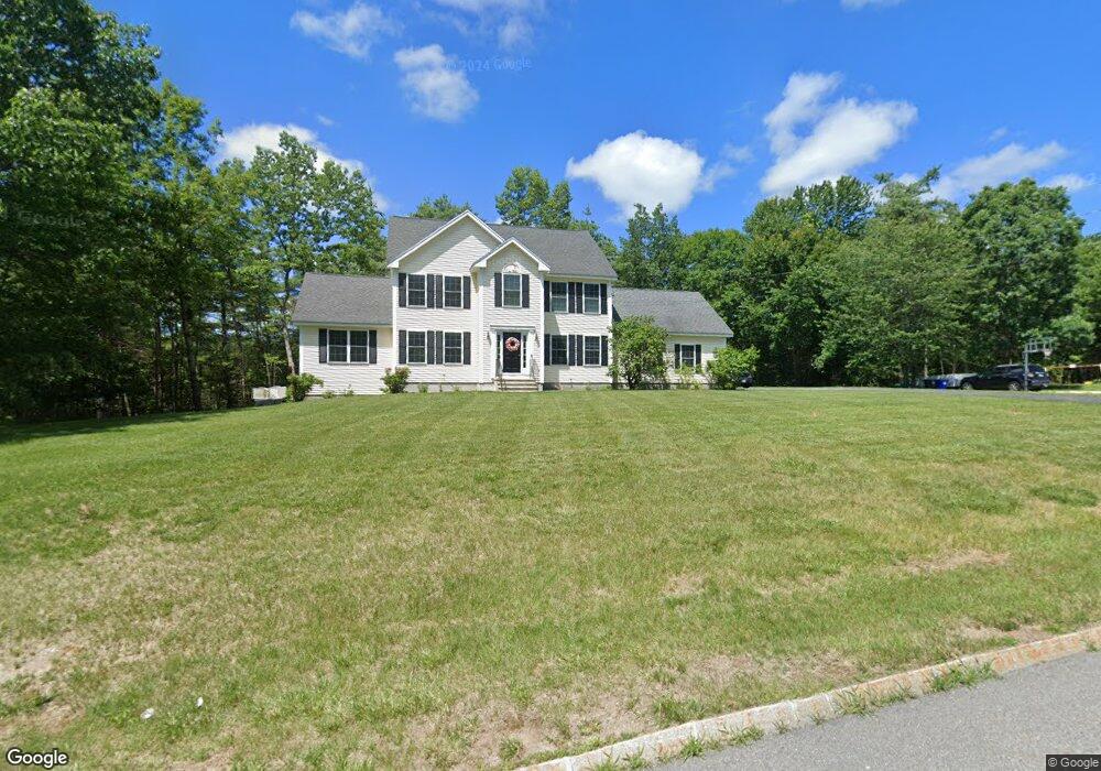
77 Maple Ave Goffstown, NH 03045
Estimated Value: $646,000 - $700,531
About This Home
This home is located at 77 Maple Ave, Goffstown, NH 03045 and is currently estimated at $674,633, approximately $266 per square foot. 77 Maple Ave is a home located in Hillsborough County with nearby schools including Mountain View Middle School and Goffstown High School.
Ownership History
We collect this data history from publicly available records. To have your information removed, we recommend requesting removal directly through your county’s website.
Purchase Details
Home Financials for this Owner
Home Financials are based on the most recent Mortgage that was taken out on this home.Home Values in the Area
Average Home Value in this Area
Purchase History
We collect this data history from publicly available records. To have your information removed, we recommend requesting removal directly through your county’s website.
| Date | Buyer | Sale Price | Title Company |
|---|---|---|---|
| $325,000 | -- |
Mortgage History
We collect this data history from publicly available records. To have your information removed, we recommend requesting removal directly through your county’s website.
| Date | Status | Borrower | Loan Amount |
|---|---|---|---|
| Open | $304,000 | ||
| Closed | $50,000 | ||
| Closed | $307,000 | ||
| Closed | $285,000 |
Tax History
We collect this data history from publicly available records. To have your information removed, we recommend requesting removal directly through your county’s website.
| Year | Tax Paid | Tax Assessment Tax Assessment Total Assessment is a certain percentage of the fair market value that is determined by local assessors to be the total taxable value of land and additions on the property. | Land | Improvement |
|---|---|---|---|---|
| 2025 | $11,710 | $560,800 | $199,500 | $361,300 |
| 2024 | $11,463 | $560,800 | $199,500 | $361,300 |
| 2023 | $10,577 | $560,800 | $199,500 | $361,300 |
| 2022 | $9,727 | $369,700 | $129,700 | $240,000 |
| 2021 | $9,176 | $369,700 | $129,700 | $240,000 |
| 2020 | $9,176 | $369,700 | $129,700 | $240,000 |
| 2019 | $9,087 | $369,700 | $129,700 | $240,000 |
| 2018 | $6,876 | $369,700 | $129,700 | $240,000 |
| 2017 | $8,922 | $325,400 | $112,300 | $213,100 |
| 2016 | $8,600 | $325,400 | $112,300 | $213,100 |
| 2015 | $8,707 | $309,200 | $105,800 | $203,400 |
| 2014 | $8,348 | $309,200 | $105,800 | $203,400 |
Map
- 2 Ben Cir
- 8 Cedar Way Unit B
- 26 Pineridge St
- 23 Pineridge St
- 16 Glenwood Dr
- 234 Paige Hill Rd
- 31 Merrill Rd
- 102 Mountain Rd
- 22B Angel Point Cir
- 144 Mountain Rd
- 27B Apple Tree Dr Unit B
- 65 Alene Ln
- 88 Horizon Dr
- 145 Horizon Dr
- 144 S Mast St
- 10 Wood Cir
- 34 Horizon Dr
- 21-2 Leach Hill Rd
- 87 Juniper Dr
- 7 Rainbow Dr
Ask me questions while you tour the home.