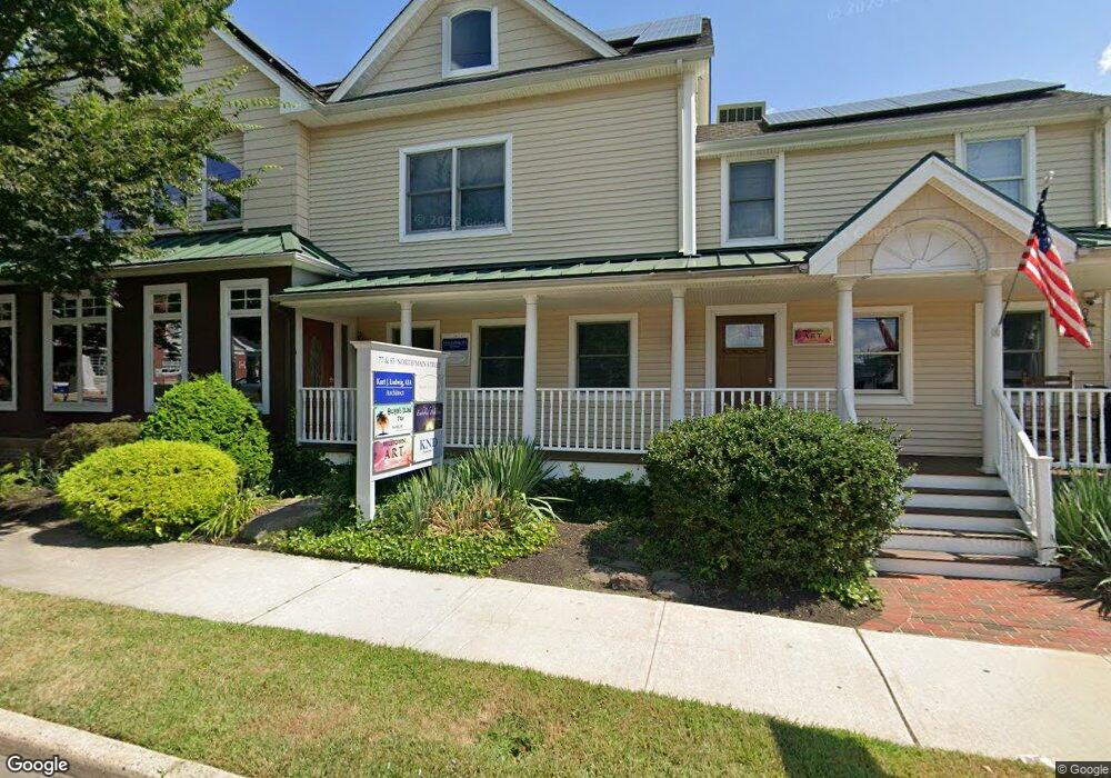
77 N Main St Unit 4 Milltown, NJ 08850
Estimated Value: $624,429
Studio
--
Bath
170
Sq Ft
$3,673/Sq Ft
Est. Value
About This Home
This home is located at 77 N Main St Unit 4, Milltown, NJ 08850 and is currently priced at $624,429, approximately $3,673 per square foot. 77 N Main St Unit 4 is a home located in Middlesex County with nearby schools including Parkview School, Joyce Kilmer Elementary School, and Unitarian Montessori School.
Ownership History
Date
Name
Owned For
Owner Type
Purchase Details
Closed on
Nov 8, 2011
Sold by
Glynn Ronald
Bought by
Milltown Main Street Llc
Current Estimated Value
Purchase Details
Closed on
Sep 8, 1998
Sold by
Cahill James
Bought by
Glynn Ronald and Ludwig Kurt
Home Financials for this Owner
Home Financials are based on the most recent Mortgage that was taken out on this home.
Original Mortgage
$131,250
Interest Rate
6.87%
Mortgage Type
Commercial
Create a Home Valuation Report for This Property
The Home Valuation Report is an in-depth analysis detailing your home's value as well as a comparison with similar homes in the area
Home Values in the Area
Average Home Value in this Area
Purchase History
| Date | Buyer | Sale Price | Title Company |
|---|---|---|---|
| Milltown Main Street Llc | -- | None Available | |
| Glynn Ronald | $175,000 | -- |
Source: Public Records
Mortgage History
| Date | Status | Borrower | Loan Amount |
|---|---|---|---|
| Previous Owner | Glynn Ronald | $131,250 |
Source: Public Records
Tax History
| Year | Tax Paid | Tax Assessment Tax Assessment Total Assessment is a certain percentage of the fair market value that is determined by local assessors to be the total taxable value of land and additions on the property. | Land | Improvement |
|---|---|---|---|---|
| 2025 | $17,628 | $261,000 | $72,400 | $188,600 |
| 2024 | $17,307 | $261,000 | $72,400 | $188,600 |
Source: Public Records
Map
Nearby Homes
- 34 Vanderbilt Ave
- 14 South St
- 18 Scott Ave
- 3 Clayton Ct
- 61 Ochs Ave
- 58 Harrison Ave
- 845 Hoover Dr
- 93 1st St
- 6 Nicholas Ct
- 226 Washington Ave
- 1040 Hillside Dr
- 1035 Hillside Dr
- 361 S Main St
- 308 Washington Ave
- 163 Dutch Rd
- 51 S Brook Dr
- 1102 Cedar Village Blvd Unit A1102
- 1409 Cedar Village Blvd
- 2207 Cedar Village Blvd
- 2302 Cedar Village Blvd Unit 302
- 77 N Main St Unit 2
- 77 N Main St
- 83 N Main St Unit C
- 83 N Main St Unit B
- 83 N Main St Unit A
- 71 N Main St Unit 2
- 71 N Main St
- 73 N Main St
- 73 N Main St Unit 73
- 11 School St
- 89 N Main St
- 84 N Main St
- 13 School St
- 65 N Main St
- 14 School St
- 17 School St
- 63 N Main St
- 16 School St
- 19 School St
- 14 Elm Place
Your Personal Tour Guide
Ask me questions while you tour the home.