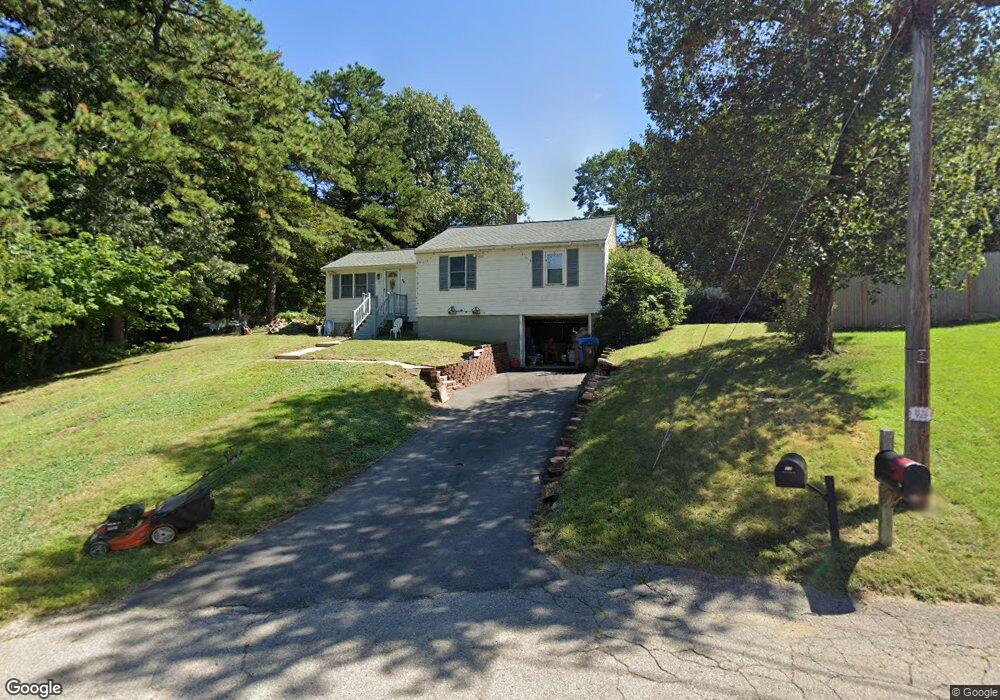
77 Nadeau Dr Wrentham, MA 02093
Estimated Value: $463,000 - $559,000
3
Beds
1
Bath
896
Sq Ft
$582/Sq Ft
Est. Value
About This Home
This home is located at 77 Nadeau Dr, Wrentham, MA 02093 and is currently estimated at $521,750, approximately $582 per square foot. 77 Nadeau Dr is a home located in Norfolk County with nearby schools including Delaney Elementary School, Charles E Roderick, and The Sage School.
Ownership History
Date
Name
Owned For
Owner Type
Purchase Details
Closed on
Aug 15, 2001
Sold by
Moore Lisa C and Moore Raymond S
Bought by
Emswiler David E and Emswiler Cindy A
Current Estimated Value
Home Financials for this Owner
Home Financials are based on the most recent Mortgage that was taken out on this home.
Original Mortgage
$208,354
Outstanding Balance
$81,334
Interest Rate
7.16%
Mortgage Type
Purchase Money Mortgage
Estimated Equity
$440,416
Create a Home Valuation Report for This Property
The Home Valuation Report is an in-depth analysis detailing your home's value as well as a comparison with similar homes in the area
Home Values in the Area
Average Home Value in this Area
Purchase History
| Date | Buyer | Sale Price | Title Company |
|---|---|---|---|
| Emswiler David E | $210,000 | -- |
Source: Public Records
Mortgage History
| Date | Status | Borrower | Loan Amount |
|---|---|---|---|
| Open | Emswiler David E | $208,354 |
Source: Public Records
Tax History Compared to Growth
Tax History
| Year | Tax Paid | Tax Assessment Tax Assessment Total Assessment is a certain percentage of the fair market value that is determined by local assessors to be the total taxable value of land and additions on the property. | Land | Improvement |
|---|---|---|---|---|
| 2025 | $5,184 | $447,300 | $259,300 | $188,000 |
| 2024 | $4,772 | $397,700 | $259,300 | $138,400 |
| 2023 | $4,462 | $353,600 | $235,800 | $117,800 |
| 2022 | $4,485 | $328,100 | $220,000 | $108,100 |
| 2021 | $4,148 | $294,800 | $192,000 | $102,800 |
| 2020 | $3,879 | $272,200 | $170,800 | $101,400 |
| 2019 | $3,818 | $270,400 | $170,800 | $99,600 |
| 2018 | $3,764 | $264,300 | $170,800 | $93,500 |
| 2017 | $3,597 | $252,400 | $167,500 | $84,900 |
| 2016 | $3,527 | $247,000 | $162,600 | $84,400 |
| 2015 | $3,423 | $228,500 | $156,300 | $72,200 |
| 2014 | $3,368 | $220,000 | $150,400 | $69,600 |
Source: Public Records
Map
Nearby Homes
- 362 East St
- 65 Pond St
- 120 Hawes St
- 483 Thurston St
- 1 Lorraine Metcalf Dr
- 319 Taunton St
- 270 Dedham St
- 10 Nature View Dr
- 15 Nature View Dr
- 25 Foxboro Rd
- 11 Goodwin Dr
- 11 Earle Stewart Ln
- 131 Creek St Unit 7
- Lot 3 - 14 Earle Stewart Ln
- Lot 1 - Blueberry 2 Car Plan at King Philip Estates
- Lot 8 - Blueberry 2 Car Plan at King Philip Estates
- Lot 5 - Hughes 2 car Plan at King Philip Estates
- Lot 6 - Blueberry 3 Car Plan at King Philip Estates
- Lot 2 - Camden 2 Car Plan at King Philip Estates
- Lot 7 - Cedar Plan at King Philip Estates