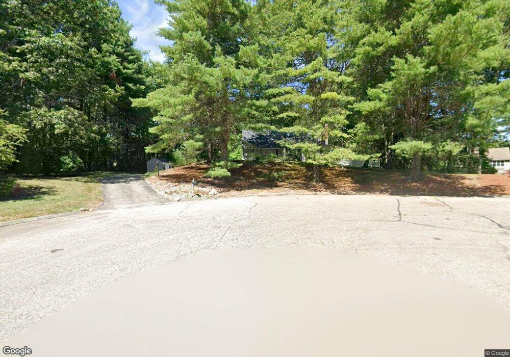
77 Oxbow Dr Wrentham, MA 02093
Estimated Value: $706,319 - $972,000
3
Beds
3
Baths
1,784
Sq Ft
$447/Sq Ft
Est. Value
About This Home
This home is located at 77 Oxbow Dr, Wrentham, MA 02093 and is currently estimated at $798,330, approximately $447 per square foot. 77 Oxbow Dr is a home located in Norfolk County with nearby schools including Delaney Elementary School, Charles E Roderick, and Mercymount Country Day School.
Ownership History
Date
Name
Owned For
Owner Type
Purchase Details
Closed on
Nov 20, 2014
Sold by
Johnson Michelle A and Johnson William W
Bought by
Johnson Michelle
Current Estimated Value
Home Financials for this Owner
Home Financials are based on the most recent Mortgage that was taken out on this home.
Original Mortgage
$200,000
Outstanding Balance
$153,938
Interest Rate
4.13%
Mortgage Type
New Conventional
Estimated Equity
$644,392
Purchase Details
Closed on
Dec 17, 1999
Sold by
Hubbard Julius C and Hubbard Salley M
Bought by
Johnson William W and Johnson Michelle A
Home Financials for this Owner
Home Financials are based on the most recent Mortgage that was taken out on this home.
Original Mortgage
$229,600
Interest Rate
7.81%
Mortgage Type
Purchase Money Mortgage
Create a Home Valuation Report for This Property
The Home Valuation Report is an in-depth analysis detailing your home's value as well as a comparison with similar homes in the area
Purchase History
| Date | Buyer | Sale Price | Title Company |
|---|---|---|---|
| Johnson Michelle | -- | -- | |
| Johnson William W | $287,000 | -- |
Source: Public Records
Mortgage History
| Date | Status | Borrower | Loan Amount |
|---|---|---|---|
| Open | Johnson Michelle | $200,000 | |
| Previous Owner | Johnson William W | $30,000 | |
| Previous Owner | Johnson William W | $229,600 | |
| Previous Owner | Johnson William W | $130,000 | |
| Previous Owner | Johnson William W | $16,500 |
Source: Public Records
Tax History
| Year | Tax Paid | Tax Assessment Tax Assessment Total Assessment is a certain percentage of the fair market value that is determined by local assessors to be the total taxable value of land and additions on the property. | Land | Improvement |
|---|---|---|---|---|
| 2025 | $6,922 | $597,200 | $302,300 | $294,900 |
| 2024 | $6,660 | $555,000 | $302,300 | $252,700 |
| 2023 | $6,557 | $519,600 | $274,700 | $244,900 |
| 2022 | $6,522 | $477,100 | $256,200 | $220,900 |
| 2021 | $6,101 | $433,600 | $223,600 | $210,000 |
| 2020 | $5,729 | $402,000 | $198,800 | $203,200 |
| 2019 | $5,531 | $391,700 | $198,800 | $192,900 |
| 2018 | $6,320 | $443,800 | $199,000 | $244,800 |
| 2017 | $6,179 | $433,600 | $195,200 | $238,400 |
| 2016 | $6,085 | $426,100 | $189,500 | $236,600 |
| 2015 | $5,967 | $398,300 | $182,200 | $216,100 |
| 2014 | $5,870 | $383,400 | $175,300 | $208,100 |
Source: Public Records
Map
Nearby Homes
- 440 Chestnut St
- Lot 1 - Blueberry 2 Car Plan at King Philip Estates
- Lot 8 - Blueberry 2 Car Plan at King Philip Estates
- Lot 5 - Hughes 2 car Plan at King Philip Estates
- Lot 6 - Blueberry 3 Car Plan at King Philip Estates
- 10 Earle Stewart Ln Unit Lot 5
- Lot 2 - Camden 2 Car Plan at King Philip Estates
- Lot 7 - Cedar Plan at King Philip Estates
- Lot 4 - Hemingway 2 Car Plan at King Philip Estates
- Lot 3 - Blueberry 2 Car Plan at King Philip Estates
- 12 Earle Stewart Ln
- Loty 3-14 Earle Stewart Ln
- 11 Earle Stewart Ln
- 1222 South St
- 955 Summer St
- 319 Taunton St
- 20 Field Cir
- 19 Chestnut Lot 0
- 500 Franklin St
- 18 Huntington Ave
Your Personal Tour Guide
Ask me questions while you tour the home.