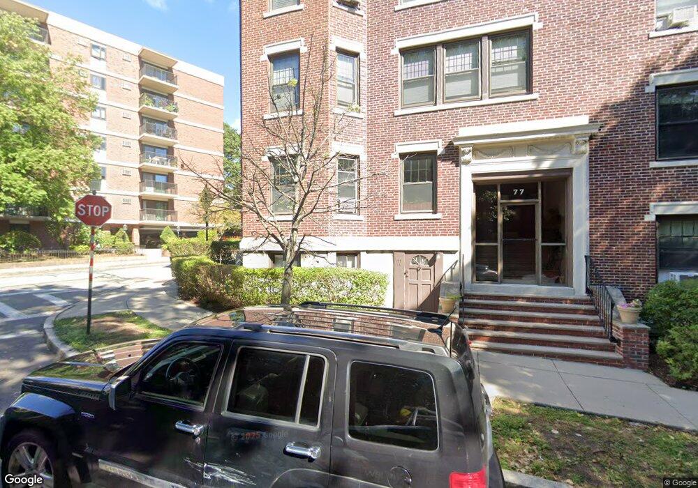
77 Parkman St Unit 2 Brookline, MA 02446
Coolidge Corner NeighborhoodEstimated Value: $1,117,000 - $1,392,429
3
Beds
2
Baths
1,824
Sq Ft
$713/Sq Ft
Est. Value
About This Home
This home is located at 77 Parkman St Unit 2, Brookline, MA 02446 and is currently estimated at $1,300,107, approximately $712 per square foot. 77 Parkman St Unit 2 is a home located in Norfolk County with nearby schools including Match Charter Public School and New England Hebrew Academy.
Ownership History
Date
Name
Owned For
Owner Type
Purchase Details
Closed on
Dec 31, 1996
Sold by
Israeli Eli and Israeli Leora
Bought by
Dorfman Larisa
Current Estimated Value
Create a Home Valuation Report for This Property
The Home Valuation Report is an in-depth analysis detailing your home's value as well as a comparison with similar homes in the area
Home Values in the Area
Average Home Value in this Area
Purchase History
| Date | Buyer | Sale Price | Title Company |
|---|---|---|---|
| Dorfman Larisa | $246,000 | -- |
Source: Public Records
Mortgage History
| Date | Status | Borrower | Loan Amount |
|---|---|---|---|
| Closed | Dorfman Larisa | $140,000 | |
| Closed | Dorfman Larisa | $158,000 | |
| Closed | Dorfman Larisa | $170,000 | |
| Closed | Dorfman Larisa | $186,600 |
Source: Public Records
Tax History Compared to Growth
Tax History
| Year | Tax Paid | Tax Assessment Tax Assessment Total Assessment is a certain percentage of the fair market value that is determined by local assessors to be the total taxable value of land and additions on the property. | Land | Improvement |
|---|---|---|---|---|
| 2025 | $11,894 | $1,205,100 | $0 | $1,205,100 |
| 2024 | $11,543 | $1,181,500 | $0 | $1,181,500 |
| 2023 | $11,336 | $1,137,000 | $0 | $1,137,000 |
| 2022 | $11,359 | $1,114,700 | $0 | $1,114,700 |
| 2021 | $10,817 | $1,103,800 | $0 | $1,103,800 |
| 2020 | $10,328 | $1,092,900 | $0 | $1,092,900 |
| 2019 | $9,752 | $1,040,800 | $0 | $1,040,800 |
| 2018 | $9,002 | $951,600 | $0 | $951,600 |
| 2017 | $8,705 | $881,100 | $0 | $881,100 |
| 2016 | $8,346 | $801,000 | $0 | $801,000 |
| 2015 | $7,777 | $728,200 | $0 | $728,200 |
| 2014 | $7,463 | $655,200 | $0 | $655,200 |
Source: Public Records
Map
Nearby Homes
- 17 James St Unit 1
- 79 Pleasant St Unit 4
- 18 Browne St Unit 2
- 63 Green St Unit 3
- 63 Green St Unit 2
- 125 Pleasant St Unit 201
- 100 Sewall Ave Unit 5
- 45 Dwight St
- 58 Dwight St Unit 6
- 50 Longwood Ave Unit 611
- 51 John St Unit 201
- 60 Longwood Ave Unit 802
- 60 Longwood Ave Unit 307
- 60 Longwood Ave Unit 403
- 14 Green St Unit PHA
- 14 Green St Unit PH1
- 125 Crowninshield Rd Unit 125
- 52 Babcock St Unit 6
- 45 Longwood Ave Unit 812
- 45 Longwood Ave Unit PHA
- 77 Parkman St Unit 4
- 77 Parkman St Unit 3
- 77 Parkman St Unit 1
- 77 Parkman St Unit B
- 77 Parkman St Unit A
- 79 Pleasant St Unit 3
- 79 Pleasant St Unit 2
- 79 Pleasant St Unit 1
- 79 Pleasant St Unit B
- 79 Pleasant St Unit A
- 79 Pleasant St Unit 76
- 79 Pleasant St
- 79 Pleasant St
- 79 Pleasant St Unit 1,79
- 83 Pleasant St Unit 2
- 83 Pleasant St Unit 1
- 83 Pleasant St Unit B
- 83 Pleasant St Unit A
- 83 Pleasant St Unit 76
- 83 Pleasant St