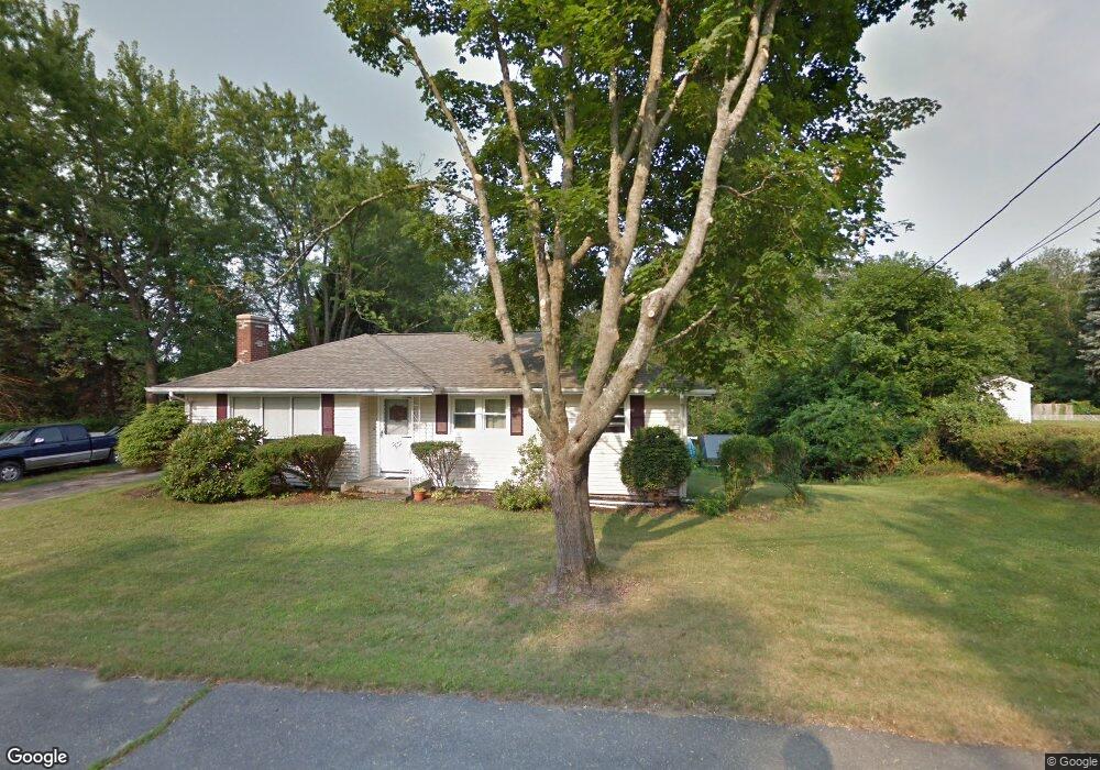
77 Prescott St West Boylston, MA 01583
Estimated Value: $494,000 - $529,000
3
Beds
1
Bath
1,140
Sq Ft
$446/Sq Ft
Est. Value
About This Home
This home is located at 77 Prescott St, West Boylston, MA 01583 and is currently estimated at $508,063, approximately $445 per square foot. 77 Prescott St is a home located in Worcester County with nearby schools including Major Edwards Elementary School and West Boylston Junior/Senior High School.
Ownership History
Date
Name
Owned For
Owner Type
Purchase Details
Closed on
Sep 16, 2003
Sold by
White Gordon P and White Jeffrey P
Bought by
Duhamel David G
Current Estimated Value
Home Financials for this Owner
Home Financials are based on the most recent Mortgage that was taken out on this home.
Original Mortgage
$223,250
Outstanding Balance
$103,423
Interest Rate
6.22%
Mortgage Type
Purchase Money Mortgage
Estimated Equity
$404,640
Create a Home Valuation Report for This Property
The Home Valuation Report is an in-depth analysis detailing your home's value as well as a comparison with similar homes in the area
Home Values in the Area
Average Home Value in this Area
Purchase History
| Date | Buyer | Sale Price | Title Company |
|---|---|---|---|
| Duhamel David G | $235,000 | -- |
Source: Public Records
Mortgage History
| Date | Status | Borrower | Loan Amount |
|---|---|---|---|
| Open | Duhamel David G | $223,250 |
Source: Public Records
Tax History Compared to Growth
Tax History
| Year | Tax Paid | Tax Assessment Tax Assessment Total Assessment is a certain percentage of the fair market value that is determined by local assessors to be the total taxable value of land and additions on the property. | Land | Improvement |
|---|---|---|---|---|
| 2025 | $64 | $460,700 | $110,200 | $350,500 |
| 2024 | $6,262 | $423,700 | $110,200 | $313,500 |
| 2023 | $6,028 | $386,900 | $109,000 | $277,900 |
| 2022 | $5,695 | $322,100 | $109,000 | $213,100 |
| 2021 | $5,514 | $298,700 | $104,000 | $194,700 |
| 2020 | $5,409 | $291,100 | $104,000 | $187,100 |
| 2019 | $25 | $269,300 | $104,000 | $165,300 |
| 2018 | $4,147 | $259,200 | $104,000 | $155,200 |
| 2017 | $0 | $231,000 | $104,000 | $127,000 |
| 2016 | $4,242 | $229,900 | $96,800 | $133,100 |
| 2015 | $4,123 | $224,800 | $95,800 | $129,000 |
Source: Public Records
Map
Nearby Homes
- 20 Winthrop St
- 136 Sterling St Unit A3
- 23 Western Ave
- 16 N Main St
- 127 N Main St
- 18 Laurel Ave
- 15 Myrtle Ave
- 2 Lakeview Ave
- 54 Maple St
- 287 Laurel St
- 0 Boutelle Rd
- 61 Boutelle Rd
- 223 Worcester Rd
- 39 Davidson Rd
- 43 Chace Hill Rd
- 15 N Cove Rd
- 1 Highland Ave
- 0 North St
- 4 Jewett Rd Unit B
- 4 Jewett Rd Unit A