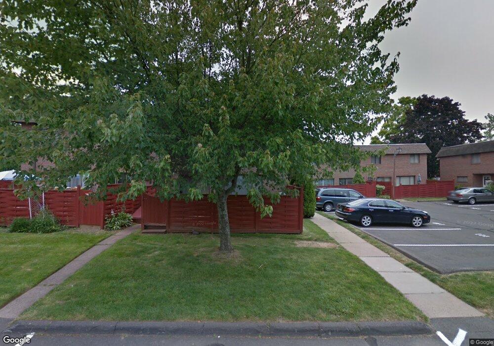
77 Sharon Ln Wethersfield, CT 06109
Estimated Value: $243,000 - $257,139
2
Beds
2
Baths
1,223
Sq Ft
$204/Sq Ft
Est. Value
About This Home
This home is located at 77 Sharon Ln, Wethersfield, CT 06109 and is currently estimated at $249,535, approximately $204 per square foot. 77 Sharon Ln is a home located in Hartford County with nearby schools including Alfred W. Hanmer School, Silas Deane Middle School, and Wethersfield High School.
Ownership History
Date
Name
Owned For
Owner Type
Purchase Details
Closed on
Feb 18, 2014
Sold by
Gregory Paul J and Gregory Amy R
Bought by
Colgan Leo A
Current Estimated Value
Home Financials for this Owner
Home Financials are based on the most recent Mortgage that was taken out on this home.
Original Mortgage
$88,000
Outstanding Balance
$66,960
Interest Rate
4.52%
Mortgage Type
New Conventional
Estimated Equity
$182,575
Purchase Details
Closed on
Jun 25, 2010
Sold by
Massaro Abby E
Bought by
Gregory Paul J and Gregory Amy R
Home Financials for this Owner
Home Financials are based on the most recent Mortgage that was taken out on this home.
Original Mortgage
$157,516
Interest Rate
4.98%
Purchase Details
Closed on
Oct 4, 2007
Sold by
Est Phelps Stuart O and Matteo Carole L
Bought by
Massard Abby E
Home Financials for this Owner
Home Financials are based on the most recent Mortgage that was taken out on this home.
Original Mortgage
$131,400
Interest Rate
6.59%
Create a Home Valuation Report for This Property
The Home Valuation Report is an in-depth analysis detailing your home's value as well as a comparison with similar homes in the area
Home Values in the Area
Average Home Value in this Area
Purchase History
| Date | Buyer | Sale Price | Title Company |
|---|---|---|---|
| Colgan Leo A | $110,000 | -- | |
| Gregory Paul J | $160,000 | -- | |
| Massard Abby E | $146,000 | -- |
Source: Public Records
Mortgage History
| Date | Status | Borrower | Loan Amount |
|---|---|---|---|
| Open | Massard Abby E | $88,000 | |
| Previous Owner | Massard Abby E | $157,516 | |
| Previous Owner | Massard Abby E | $131,400 |
Source: Public Records
Tax History
| Year | Tax Paid | Tax Assessment Tax Assessment Total Assessment is a certain percentage of the fair market value that is determined by local assessors to be the total taxable value of land and additions on the property. | Land | Improvement |
|---|---|---|---|---|
| 2025 | $5,859 | $142,130 | $0 | $142,130 |
| 2024 | $3,047 | $70,490 | $0 | $70,490 |
| 2023 | $2,945 | $70,490 | $0 | $70,490 |
| 2022 | $2,896 | $70,490 | $0 | $70,490 |
| 2021 | $2,867 | $70,490 | $0 | $70,490 |
| 2020 | $2,868 | $70,490 | $0 | $70,490 |
| 2019 | $2,872 | $70,490 | $0 | $70,490 |
| 2018 | $3,213 | $78,800 | $0 | $78,800 |
| 2017 | $3,134 | $78,800 | $0 | $78,800 |
| 2016 | $3,037 | $78,800 | $0 | $78,800 |
| 2015 | $3,009 | $78,800 | $0 | $78,800 |
| 2014 | $2,895 | $78,800 | $0 | $78,800 |
Source: Public Records
Map
Nearby Homes
- 35 Stillwold Dr
- 108 Chamberlain Rd
- 91 Somerset St
- 87 Somerset St
- 195 Middletown Ave
- 31 Ox Yoke Dr
- 38 Wheeler Rd
- 1 Fernwood St
- 137 Dale Rd
- 317 Garden St Unit 319
- 89 Merriman Rd
- 455 Brimfield Rd
- 116 Wells Farm Dr
- 18 Avalon Place
- 493 Main St
- 104 Willow St
- 25 Sutton Rd
- 20 Forest Dr
- 19 Albert Ave
- 48 Ridge Crest Cir
Your Personal Tour Guide
Ask me questions while you tour the home.