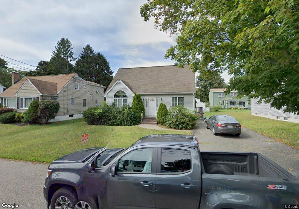
77 Sheridan St Woburn, MA 01801
Cummingsville NeighborhoodEstimated Value: $768,000 - $936,000
2
Beds
2
Baths
1,749
Sq Ft
$483/Sq Ft
Est. Value
About This Home
This home is located at 77 Sheridan St, Woburn, MA 01801 and is currently estimated at $845,278, approximately $483 per square foot. 77 Sheridan St is a home located in Middlesex County with nearby schools including Hurld Elementary School, Daniel L. Joyce Middle School, and Woburn High School.
Create a Home Valuation Report for This Property
The Home Valuation Report is an in-depth analysis detailing your home's value as well as a comparison with similar homes in the area
Home Values in the Area
Average Home Value in this Area
Tax History Compared to Growth
Tax History
| Year | Tax Paid | Tax Assessment Tax Assessment Total Assessment is a certain percentage of the fair market value that is determined by local assessors to be the total taxable value of land and additions on the property. | Land | Improvement |
|---|---|---|---|---|
| 2025 | $6,667 | $780,700 | $306,100 | $474,600 |
| 2024 | $5,989 | $743,100 | $291,600 | $451,500 |
| 2023 | $5,907 | $679,000 | $265,100 | $413,900 |
| 2022 | $5,781 | $618,900 | $230,500 | $388,400 |
| 2021 | $5,434 | $582,400 | $219,500 | $362,900 |
| 2020 | $5,111 | $548,400 | $219,500 | $328,900 |
| 2019 | $5,024 | $528,800 | $209,100 | $319,700 |
| 2018 | $4,863 | $491,700 | $191,800 | $299,900 |
| 2017 | $4,522 | $454,900 | $182,700 | $272,200 |
| 2016 | $4,323 | $430,100 | $170,700 | $259,400 |
| 2015 | $4,175 | $410,500 | $159,600 | $250,900 |
| 2014 | $3,818 | $365,700 | $159,600 | $206,100 |
Source: Public Records
Map
Nearby Homes
- 12 Cassidy Dr
- 18 Winn Valley Dr
- 7 Locust St
- 4 Ardmore Ave
- 68 Hammond Place Unit 68
- 29 Overlook Ave
- 36 Cambridge Rd Unit 40
- 17 Wright St
- 19 Hammond Place Unit 19
- 26 Flagg St
- 82 Lowell St
- 123 Cambridge Rd Unit 4
- 18 Hamilton Rd
- 37 1/2 Chestnut St
- 18 Beacon St Unit 18
- 0 Johnson Rd
- 3 Hart St
- 166 Place Ln Unit 166
- 168 Place Ln
- 31 Arlington Rd Unit 1-6