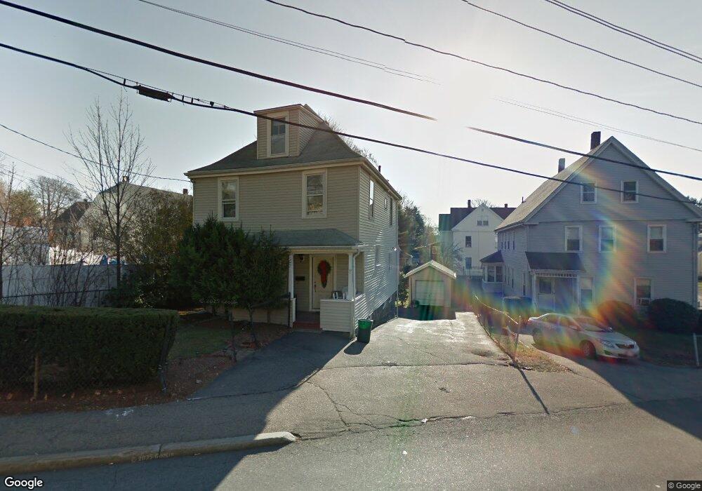
77 Squantum St Milton, MA 02186
Estimated Value: $881,139 - $1,087,000
4
Beds
2
Baths
1,885
Sq Ft
$505/Sq Ft
Est. Value
About This Home
This home is located at 77 Squantum St, Milton, MA 02186 and is currently estimated at $951,285, approximately $504 per square foot. 77 Squantum St is a home located in Norfolk County with nearby schools including Milton High School, St. Agatha School, and Quincy Catholic Academy.
Ownership History
Date
Name
Owned For
Owner Type
Purchase Details
Closed on
Jun 12, 2009
Sold by
Pearce Julie M and Gillespie Julie M
Bought by
Gillespie Patrick T and Pearce Julie M
Current Estimated Value
Purchase Details
Closed on
Jun 27, 1997
Sold by
Mcdonagh John P and Mcdonagh Bridge M
Bought by
Gillespie Patrick T and Gillespie Julie M
Create a Home Valuation Report for This Property
The Home Valuation Report is an in-depth analysis detailing your home's value as well as a comparison with similar homes in the area
Purchase History
| Date | Buyer | Sale Price | Title Company |
|---|---|---|---|
| Gillespie Patrick T | -- | -- | |
| Gillespie Patrick T | $176,000 | -- |
Source: Public Records
Mortgage History
| Date | Status | Borrower | Loan Amount |
|---|---|---|---|
| Open | Gillespie Patrick T | $163,800 | |
| Previous Owner | Gillespie Patrick T | $215,000 | |
| Previous Owner | Gillespie Patrick T | $158,000 |
Source: Public Records
Tax History
| Year | Tax Paid | Tax Assessment Tax Assessment Total Assessment is a certain percentage of the fair market value that is determined by local assessors to be the total taxable value of land and additions on the property. | Land | Improvement |
|---|---|---|---|---|
| 2025 | $8,335 | $751,600 | $465,300 | $286,300 |
| 2024 | $8,165 | $747,700 | $443,200 | $304,500 |
| 2023 | $8,264 | $724,900 | $422,300 | $302,600 |
| 2022 | $8,200 | $657,600 | $422,300 | $235,300 |
| 2021 | $7,816 | $595,300 | $371,200 | $224,100 |
| 2020 | $6,712 | $511,600 | $293,400 | $218,200 |
| 2019 | $6,547 | $496,700 | $284,900 | $211,800 |
| 2018 | $6,268 | $453,900 | $245,100 | $208,800 |
| 2017 | $5,865 | $432,500 | $233,500 | $199,000 |
| 2016 | $5,777 | $427,900 | $233,500 | $194,400 |
| 2015 | $5,743 | $412,000 | $215,000 | $197,000 |
Source: Public Records
Map
Nearby Homes
- 0 Franklin St
- 85 Hilma St
- 400 Adams St Unit A
- 397 Adams St
- 30 Elmwood Park
- 1185 Brook Rd
- 440 Granite Ave Unit 201
- 281 Elmwood Ave
- 17 Albany St
- 41 Wallace Rd
- 46 Century Ln
- 21 Robertson St
- 154 N Central Ave
- 54 Safford St
- 115 W Squantum St Unit 517
- 115 W Squantum St Unit 203
- 115 W Squantum St Unit 811
- 98 Safford St
- 85 Forbes Rd
- 100 W Squantum St Unit 411
- 75 Squantum St
- 75 Squantum St Unit 2
- 2 Antwerp St Unit 1
- 2 Antwerp St
- 8 Antwerp St
- 8 Antwerp St Unit 2
- 8 Antwerp St Unit 1
- 8 Antwerp St Unit none
- 8 Antwerp St Unit 8
- 208 Church St
- 202 Church St Unit 204
- 202 Church St Unit 1
- 10 Antwerp St
- 198 Church St
- 212 Church St
- 192 Church St
- 71 Squantum St
- 14 Antwerp St
- 4 Cedar Terrace
- 16 Antwerp St
Your Personal Tour Guide
Ask me questions while you tour the home.