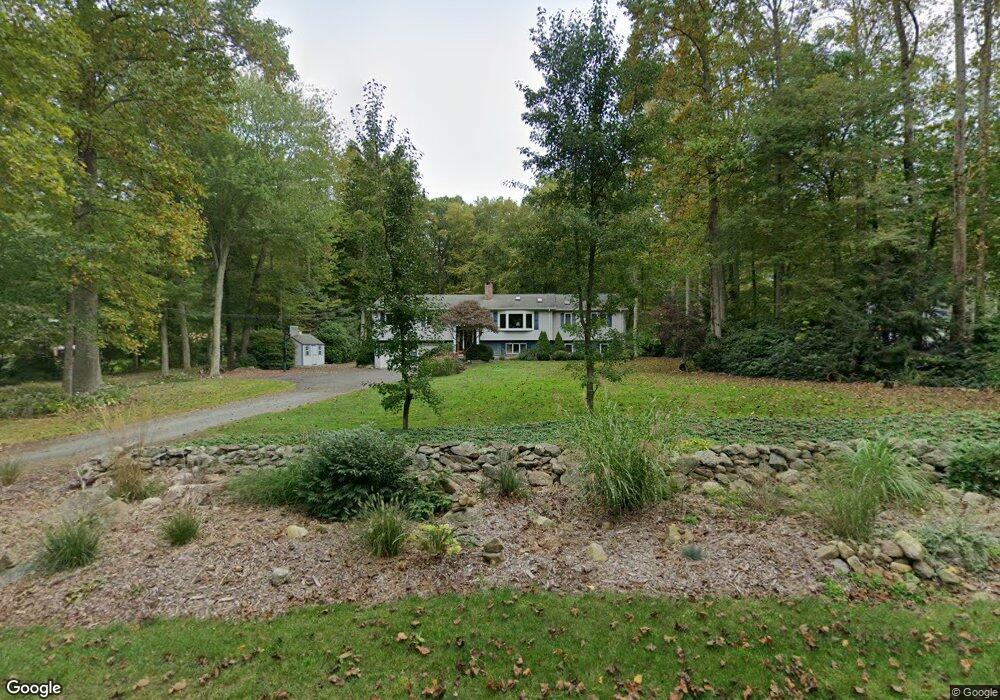
77 Standish Rd Colchester, CT 06415
Estimated Value: $447,814 - $545,000
4
Beds
3
Baths
1,884
Sq Ft
$262/Sq Ft
Est. Value
About This Home
This home is located at 77 Standish Rd, Colchester, CT 06415 and is currently estimated at $492,704, approximately $261 per square foot. 77 Standish Rd is a home located in New London County with nearby schools including Colchester Elementary School, Jack Jackter Intermediate School, and William J. Johnston Middle School.
Ownership History
Date
Name
Owned For
Owner Type
Purchase Details
Closed on
Dec 11, 1995
Sold by
Lavrich Philip L and Lavrich Susan
Bought by
Gallagher David S and Gallagher Randi S
Current Estimated Value
Purchase Details
Closed on
Apr 7, 1988
Sold by
Staron Richard
Bought by
Lavrich Philip
Home Financials for this Owner
Home Financials are based on the most recent Mortgage that was taken out on this home.
Original Mortgage
$140,700
Interest Rate
9.89%
Create a Home Valuation Report for This Property
The Home Valuation Report is an in-depth analysis detailing your home's value as well as a comparison with similar homes in the area
Home Values in the Area
Average Home Value in this Area
Purchase History
| Date | Buyer | Sale Price | Title Company |
|---|---|---|---|
| Gallagher David S | $132,000 | -- | |
| Lavrich Philip | $175,900 | -- |
Source: Public Records
Mortgage History
| Date | Status | Borrower | Loan Amount |
|---|---|---|---|
| Closed | Lavrich Philip | $25,000 | |
| Previous Owner | Lavrich Philip | $90,000 | |
| Previous Owner | Lavrich Philip | $140,700 |
Source: Public Records
Tax History Compared to Growth
Tax History
| Year | Tax Paid | Tax Assessment Tax Assessment Total Assessment is a certain percentage of the fair market value that is determined by local assessors to be the total taxable value of land and additions on the property. | Land | Improvement |
|---|---|---|---|---|
| 2025 | $6,980 | $233,300 | $42,000 | $191,300 |
| 2024 | $6,689 | $233,300 | $42,000 | $191,300 |
| 2023 | $6,350 | $233,300 | $42,000 | $191,300 |
| 2022 | $6,318 | $233,300 | $42,000 | $191,300 |
| 2021 | $6,276 | $191,100 | $42,000 | $149,100 |
| 2020 | $6,276 | $191,100 | $42,000 | $149,100 |
| 2019 | $6,144 | $187,100 | $42,000 | $145,100 |
| 2018 | $6,040 | $187,100 | $42,000 | $145,100 |
| 2017 | $6,056 | $187,100 | $42,000 | $145,100 |
| 2016 | $5,907 | $191,100 | $54,100 | $137,000 |
| 2015 | $5,878 | $191,100 | $54,100 | $137,000 |
| 2014 | $5,842 | $191,100 | $54,100 | $137,000 |
Source: Public Records
Map
Nearby Homes
- 87 Standish Rd
- 35 Brookstone Dr
- "0" Middletown Rd
- 6 Taylor Rd
- 10 Taylor Rd
- 3 Taylor Rd
- 74 Pinebrook Rd
- 7 Taylor Rd
- 9 Taylor Rd
- 19 Esther Ln
- Lot #2 Taylor Rd
- 63 Taylor Rd
- 17 Harvest Ln
- 286 Middletown Rd
- 54 Bulkeley Hill Rd
- 335 Westchester Rd
- 597 Westchester Rd
- 0 Prospect Hill Rd
- 216 Elliot Dr
- 23 Olmstead Rd