Estimated Value: $544,191 - $630,000
4
Beds
2
Baths
1,761
Sq Ft
$329/Sq Ft
Est. Value
About This Home
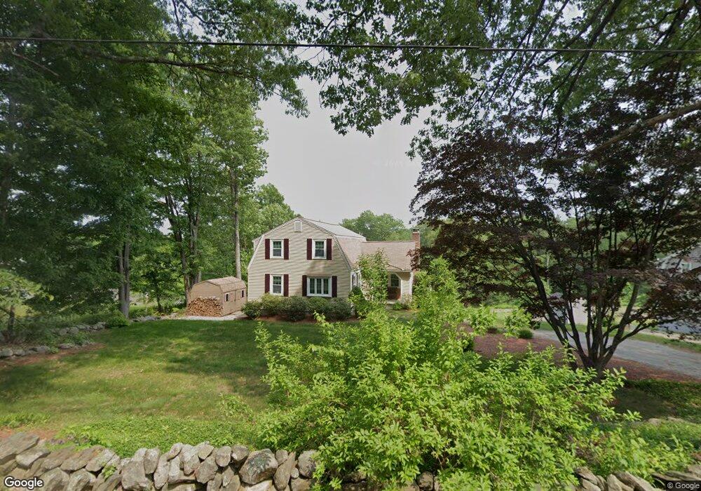
This home is located at 77 Stark Rd, Derry, NH 03038 and is currently estimated at $579,298, approximately $328 per square foot. 77 Stark Rd is a home located in Rockingham County with nearby schools including Derry Village School, West Running Brook Middle School, and Pinkerton Academy.
Create a Home Valuation Report for This Property
The Home Valuation Report is an in-depth analysis detailing your home's value as well as a comparison with similar homes in the area
Home Values in the Area
Average Home Value in this Area
Tax History
| Year | Tax Paid | Tax Assessment Tax Assessment Total Assessment is a certain percentage of the fair market value that is determined by local assessors to be the total taxable value of land and additions on the property. | Land | Improvement |
|---|---|---|---|---|
| 2025 | $9,301 | $489,800 | $201,400 | $288,400 |
| 2024 | $9,154 | $489,800 | $201,400 | $288,400 |
| 2023 | $8,365 | $404,500 | $171,200 | $233,300 |
| 2022 | $7,702 | $404,500 | $171,200 | $233,300 |
| 2021 | $7,326 | $295,900 | $131,100 | $164,800 |
| 2020 | $7,202 | $295,900 | $131,100 | $164,800 |
| 2019 | $6,990 | $267,600 | $101,500 | $166,100 |
| 2018 | $7,235 | $267,600 | $101,500 | $166,100 |
| 2017 | $6,579 | $243,100 | $96,500 | $146,600 |
| 2016 | $6,600 | $243,900 | $96,500 | $147,400 |
| 2015 | $6,621 | $226,500 | $96,500 | $130,000 |
| 2014 | $6,664 | $226,500 | $96,500 | $130,000 |
| 2013 | $6,607 | $209,800 | $88,500 | $121,300 |
Source: Public Records
Map
Nearby Homes
- 5 Stone Fence Dr
- 5 Craven Terrace
- 21 Berry Rd
- 139 Rockingham Rd Unit 21
- 89 Lane Rd
- 144 Rockingham Rd
- 13 Kilrea Rd Unit L
- 4 Westview Dr
- 242 Rockingham Rd
- 52 Windham Depot Rd
- 13 Sunnyside Ln Unit L
- 8 Blueberry Rd Unit U: R
- 16 Towne Dr
- 12R Brian Ave Unit R
- 4 Norman Dr Unit L
- 4C Pine Isle Dr Unit B
- 15 Bonnie Ln Unit R
- 30 Kendall Pond Rd Unit 77
- 30 Kendall Pond Rd Unit 87
- 3 Bonnie Ln
Your Personal Tour Guide
Ask me questions while you tour the home.