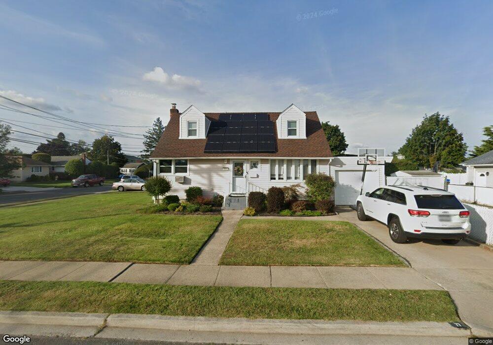
77 Taylor Ave East Meadow, NY 11554
Estimated Value: $597,000 - $738,495
--
Bed
2
Baths
1,260
Sq Ft
$530/Sq Ft
Est. Value
About This Home
This home is located at 77 Taylor Ave, East Meadow, NY 11554 and is currently estimated at $667,748, approximately $529 per square foot. 77 Taylor Ave is a home located in Nassau County with nearby schools including Parkway School and Woodland Middle School.
Ownership History
Date
Name
Owned For
Owner Type
Purchase Details
Closed on
Feb 2, 2021
Sold by
Grippo Asset Management Trust
Bought by
Monniello Thomas and Monniello Leslie
Current Estimated Value
Home Financials for this Owner
Home Financials are based on the most recent Mortgage that was taken out on this home.
Original Mortgage
$453,856
Outstanding Balance
$405,924
Interest Rate
2.7%
Mortgage Type
FHA
Estimated Equity
$261,824
Purchase Details
Closed on
Jun 18, 2018
Sold by
Grippo Barbara and Grippo Robert
Bought by
Grippo Trust
Create a Home Valuation Report for This Property
The Home Valuation Report is an in-depth analysis detailing your home's value as well as a comparison with similar homes in the area
Home Values in the Area
Average Home Value in this Area
Purchase History
| Date | Buyer | Sale Price | Title Company |
|---|---|---|---|
| Monniello Thomas | $462,230 | None Available | |
| Grippo Trust | -- | New York Title |
Source: Public Records
Mortgage History
| Date | Status | Borrower | Loan Amount |
|---|---|---|---|
| Open | Monniello Thomas | $453,856 |
Source: Public Records
Tax History Compared to Growth
Tax History
| Year | Tax Paid | Tax Assessment Tax Assessment Total Assessment is a certain percentage of the fair market value that is determined by local assessors to be the total taxable value of land and additions on the property. | Land | Improvement |
|---|---|---|---|---|
| 2025 | $10,189 | $424 | $220 | $204 |
| 2024 | $3,287 | $453 | $235 | $218 |
| 2023 | $9,665 | $450 | $234 | $216 |
| 2022 | $9,665 | $453 | $235 | $218 |
| 2021 | $12,694 | $451 | $235 | $216 |
| 2020 | $6,204 | $506 | $505 | $1 |
| 2019 | $2,556 | $543 | $542 | $1 |
| 2018 | $3,236 | $579 | $0 | $0 |
| 2017 | $3,440 | $615 | $545 | $70 |
| 2016 | $6,287 | $652 | $479 | $173 |
| 2015 | $2,827 | $688 | $506 | $182 |
| 2014 | $2,827 | $688 | $506 | $182 |
| 2013 | $2,902 | $786 | $578 | $208 |
Source: Public Records
Map
Nearby Homes