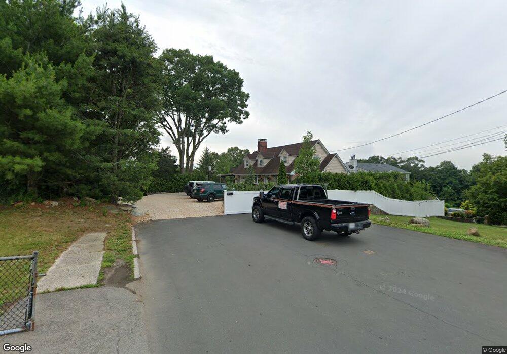
77 Taylor Ave West Harrison, NY 10604
West Harrison NeighborhoodEstimated Value: $976,000 - $1,085,000
--
Bed
2
Baths
2,417
Sq Ft
$420/Sq Ft
Est. Value
About This Home
This home is located at 77 Taylor Ave, West Harrison, NY 10604 and is currently estimated at $1,015,755, approximately $420 per square foot. 77 Taylor Ave is a home located in Westchester County with nearby schools including Samuel J. Preston Elementary School, Louis M. Klein Middle School, and Harrison High School.
Ownership History
Date
Name
Owned For
Owner Type
Purchase Details
Closed on
Mar 1, 2011
Sold by
Zanette Paul J and Zanette Grazia
Bought by
Zanette Paul J
Current Estimated Value
Purchase Details
Closed on
Jun 29, 2000
Sold by
Zanette Delmo
Bought by
Zanette Paul and Zanette Paul J
Home Financials for this Owner
Home Financials are based on the most recent Mortgage that was taken out on this home.
Original Mortgage
$252,000
Interest Rate
8.1%
Mortgage Type
Purchase Money Mortgage
Create a Home Valuation Report for This Property
The Home Valuation Report is an in-depth analysis detailing your home's value as well as a comparison with similar homes in the area
Home Values in the Area
Average Home Value in this Area
Purchase History
| Date | Buyer | Sale Price | Title Company |
|---|---|---|---|
| Zanette Paul J | -- | The Judicial Title Insurance | |
| Zanette Paul | $300,000 | Commonwealth Land Title Ins |
Source: Public Records
Mortgage History
| Date | Status | Borrower | Loan Amount |
|---|---|---|---|
| Closed | Zanette Paul | $252,000 |
Source: Public Records
Tax History Compared to Growth
Tax History
| Year | Tax Paid | Tax Assessment Tax Assessment Total Assessment is a certain percentage of the fair market value that is determined by local assessors to be the total taxable value of land and additions on the property. | Land | Improvement |
|---|---|---|---|---|
| 2024 | $16,414 | $9,910 | $770 | $9,140 |
| 2023 | $17,485 | $9,910 | $770 | $9,140 |
| 2022 | $15,502 | $9,910 | $770 | $9,140 |
| 2021 | $15,203 | $9,910 | $770 | $9,140 |
| 2020 | $15,280 | $9,910 | $770 | $9,140 |
| 2019 | $15,650 | $9,910 | $770 | $9,140 |
| 2018 | $8,698 | $9,910 | $770 | $9,140 |
| 2017 | $0 | $9,910 | $770 | $9,140 |
| 2016 | $14,916 | $9,910 | $770 | $9,140 |
| 2015 | -- | $9,910 | $770 | $9,140 |
| 2014 | -- | $9,910 | $770 | $9,140 |
| 2013 | -- | $9,910 | $770 | $9,140 |
Source: Public Records
Map
Nearby Homes
- 18 Gainsborg Ave E
- 60 Park Ave
- 121 Columbus Ave Unit 1A
- 107 Columbus Ave Unit 2A
- 97 Columbus Ave Unit 2B
- 189 Columbus Ave Unit 1B
- 196 Underhill Ave Unit 2A
- 62 Underhill Ave Unit 1A
- 196 Gainsborg Ave E
- 251 Columbus Ave
- 43 Columbus Ave Unit 1B
- 194 Gainsborg Ave E
- 38 Underhill Ave Unit 2A
- 17 Edward St
- 126 Lincoln Ave E
- 170-172 Woodside Ave
- 6 Century Ridge Rd
- 423 Westchester Ave
- 31 Colonial Rd
- 30 Windsor Terrace Unit 4J
- 15 Clark Place
- 11 Clark Place
- 14 Clark Place
- 75 Taylor Ave
- 120 White Plains Ave
- 5 Clark Place
- 124 White Plains Ave
- 118 White Plains Ave
- 810 Main St E
- 800 Main St E
- 123 White Plains Ave
- 125 White Plains Ave
- 116 White Plains Ave
- 121 White Plains Ave
- 119 White Plains Ave
- 2 Woodside Ave
- 75 Kingston Ave
- 76 Kingston Ave
- 43 Sherman Ave Unit 45
- 111 White Plains Ave