770 Governor Place Bellingham, WA 98229
Estimated Value: $948,000 - $1,077,000
3
Beds
2
Baths
1,749
Sq Ft
$573/Sq Ft
Est. Value
About This Home
This home is located at 770 Governor Place, Bellingham, WA 98229 and is currently estimated at $1,002,487, approximately $573 per square foot. 770 Governor Place is a home located in Whatcom County with nearby schools including Wade King Elementary School, Fairhaven Middle School, and Sehome High School.
Ownership History
Date
Name
Owned For
Owner Type
Purchase Details
Closed on
Jan 23, 2008
Sold by
Skeers Construction Inc
Bought by
Smith Michael J and Smith Leslie J
Current Estimated Value
Home Financials for this Owner
Home Financials are based on the most recent Mortgage that was taken out on this home.
Original Mortgage
$340,000
Interest Rate
6.07%
Mortgage Type
Purchase Money Mortgage
Create a Home Valuation Report for This Property
The Home Valuation Report is an in-depth analysis detailing your home's value as well as a comparison with similar homes in the area
Home Values in the Area
Average Home Value in this Area
Purchase History
| Date | Buyer | Sale Price | Title Company |
|---|---|---|---|
| Smith Michael J | $505,230 | Chicago Title Insurance |
Source: Public Records
Mortgage History
| Date | Status | Borrower | Loan Amount |
|---|---|---|---|
| Open | Smith Michael J | $333,500 | |
| Closed | Smith Michael J | $348,500 | |
| Closed | Smith Michael J | $340,000 |
Source: Public Records
Tax History Compared to Growth
Tax History
| Year | Tax Paid | Tax Assessment Tax Assessment Total Assessment is a certain percentage of the fair market value that is determined by local assessors to be the total taxable value of land and additions on the property. | Land | Improvement |
|---|---|---|---|---|
| 2024 | $7,466 | $860,786 | $295,645 | $565,141 |
| 2023 | $7,466 | $891,562 | $306,215 | $585,347 |
| 2022 | $6,457 | $758,780 | $260,610 | $498,170 |
| 2021 | $5,751 | $611,936 | $210,175 | $401,761 |
| 2020 | $5,630 | $536,782 | $184,363 | $352,419 |
| 2019 | $5,511 | $509,522 | $175,000 | $334,522 |
| 2018 | $5,742 | $500,527 | $169,260 | $331,267 |
| 2017 | $5,073 | $444,288 | $150,240 | $294,048 |
| 2016 | $4,596 | $409,171 | $138,240 | $270,931 |
| 2015 | $4,512 | $388,101 | $131,040 | $257,061 |
| 2014 | -- | $369,609 | $124,800 | $244,809 |
| 2013 | -- | $351,170 | $120,000 | $231,170 |
Source: Public Records
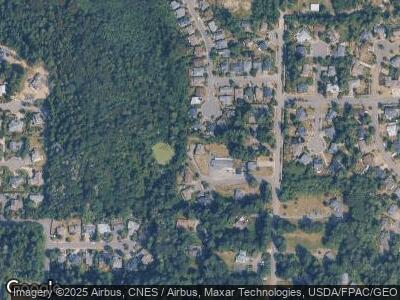
Map
Nearby Homes
- 1934 N Colby Ct
- 4334 Samish Crest Dr
- 4915 Samish Way Unit 16
- 4915 Samish Way Unit 78
- 4204 Harrison St
- 4214 Samish Crest Dr
- 2612 S 42nd St
- 2500 Samish Way Unit 42
- 2604 S 42nd St
- 2600 42nd
- 2608 S 42nd St
- 750 Samish Way
- 1800 40th Place
- 4949 Samish Way Unit 6
- 4949 Samish Way Unit 17
- 4949 Samish Way Unit 45
- 2014 39th St
- 2284 Yew Street Rd Unit A5
- 2284 Yew Street Rd Unit B6
- 0 Wildwood Dr Unit NWM2316576
- 770 Governor Place
- 1954 S Mahonia Place
- 766 Governor Place
- 1959 S Mahonia Place
- 1958 S Mahonia Place
- 765 Governor Place
- 769 Governor Place
- 1960 S Mahonia Place
- 1963 S Mahonia Place
- 1947 Governor Rd
- 1945 Governor Rd
- 1964 S Mahonia Place
- 1967 S Mahonia Place
- 1929 Governor Rd
- 1957 Governor Rd
- 773 Mahonia Dr
- 1965 Governor Rd
- 1919 Governor Rd
- 777 Mahonia Dr
- 1971 S Mahonia Place