Estimated Value: $218,000 - $228,000
2
Beds
2
Baths
1,702
Sq Ft
$131/Sq Ft
Est. Value
About This Home
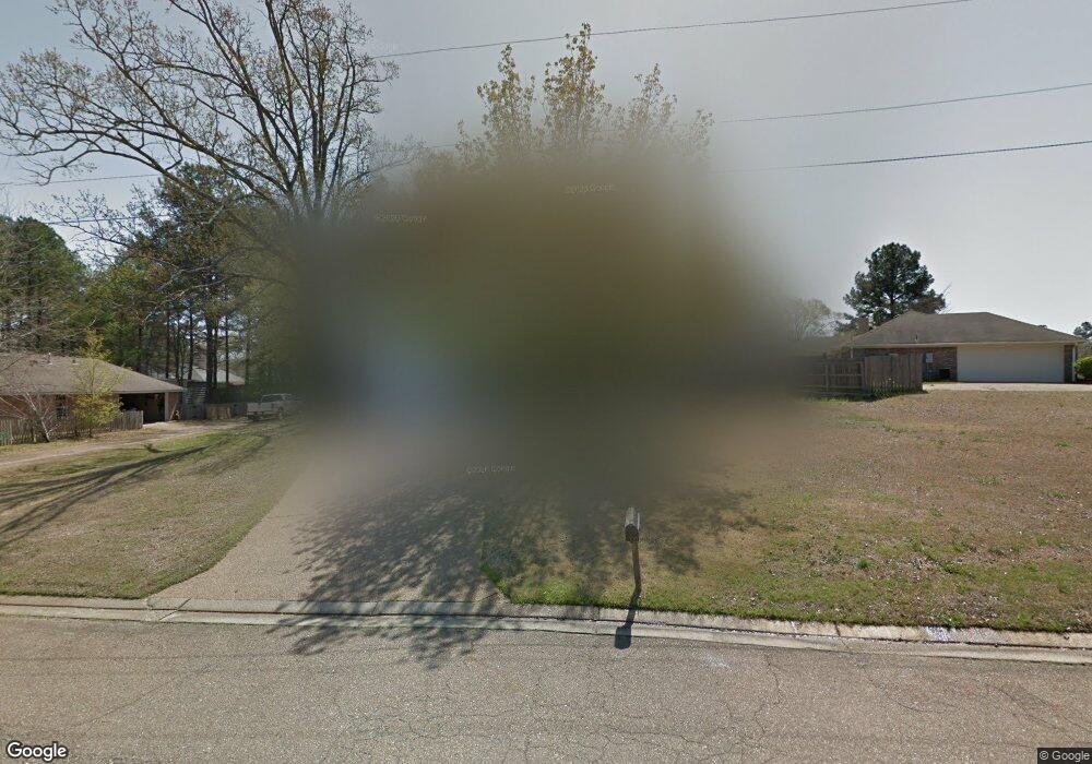
This home is located at 770 Highpoint Dr, Byram, MS 39272 and is currently estimated at $223,425, approximately $131 per square foot. 770 Highpoint Dr is a home located in Hinds County with nearby schools including Gary Road Elementary School, Gary Road Intermediate School, and Byram Middle School.
Ownership History
Date
Name
Owned For
Owner Type
Purchase Details
Closed on
May 27, 2015
Sold by
Wells Fargo Bank Na
Bought by
Johnson Tongula
Current Estimated Value
Home Financials for this Owner
Home Financials are based on the most recent Mortgage that was taken out on this home.
Original Mortgage
$95,243
Interest Rate
3.75%
Mortgage Type
FHA
Create a Home Valuation Report for This Property
The Home Valuation Report is an in-depth analysis detailing your home's value as well as a comparison with similar homes in the area
Home Values in the Area
Average Home Value in this Area
Purchase History
| Date | Buyer | Sale Price | Title Company |
|---|---|---|---|
| Johnson Tongula | $97,000 | None Available |
Source: Public Records
Mortgage History
| Date | Status | Borrower | Loan Amount |
|---|---|---|---|
| Closed | Johnson Tongula | $2,857 | |
| Previous Owner | Johnson Tongula | $95,243 |
Source: Public Records
Tax History
| Year | Tax Paid | Tax Assessment Tax Assessment Total Assessment is a certain percentage of the fair market value that is determined by local assessors to be the total taxable value of land and additions on the property. | Land | Improvement |
|---|---|---|---|---|
| 2025 | $1,470 | $11,581 | $2,500 | $9,081 |
| 2024 | $1,470 | $11,317 | $2,500 | $8,817 |
| 2023 | $1,470 | $11,317 | $2,500 | $8,817 |
| 2022 | $1,741 | $11,317 | $2,500 | $8,817 |
| 2021 | $1,418 | $11,317 | $2,500 | $8,817 |
| 2020 | $1,374 | $11,169 | $2,500 | $8,669 |
| 2019 | $1,365 | $11,169 | $2,500 | $8,669 |
| 2018 | $1,365 | $11,169 | $2,500 | $8,669 |
| 2017 | $1,335 | $11,169 | $2,500 | $8,669 |
| 2016 | $1,335 | $11,169 | $2,500 | $8,669 |
| 2015 | $2,414 | $16,493 | $3,750 | $12,743 |
| 2014 | $1,287 | $10,995 | $2,500 | $8,495 |
Source: Public Records
Map
Nearby Homes
- 8834 Gary Rd
- 0 Terry Rd Unit 24270230
- 0 Terry Rd Unit 4135800
- 0 Terry Rd Unit 4130083
- 2120 Meagan Dr
- 324 Martha Dr
- 816 Fairway Ave
- 100 Lucas Ct
- 820 Fairway Ave
- 109 Lucas Ct
- 824 Fairway Ave
- 699 Meadow Ln
- 224 Brannan Ave
- 1213 Lake Shore Dr
- 504 Parker Dr
- 213 Longfellow Cove
- 812 Fairway Ave
- 805 Fairway Ave
- 801 Fairway Ave
- 808 Fairway Ave
- 766 Highpoint Dr
- 774 Highpoint Dr
- 771 Highpoint Dr
- 814 Eagles Nest Dr
- 767 Highpoint Dr
- 812 Eagles Nest Dr
- 778 Highpoint Dr
- 816 Eagles Nest Dr
- 775 Highpoint Dr
- 757 Highpoint Dr
- 755 Highpoint Dr
- 763 Highpoint Dr
- 818 Eagles Nest Dr
- 810 Eagles Nest Dr
- 769 Highpoint Dr
- 779 Highpoint Dr
- 782 Highpoint Dr
- 811 Eagles Nest Dr
- 820 Eagles Nest Dr
- 513 Golden Eagle Dr
Your Personal Tour Guide
Ask me questions while you tour the home.