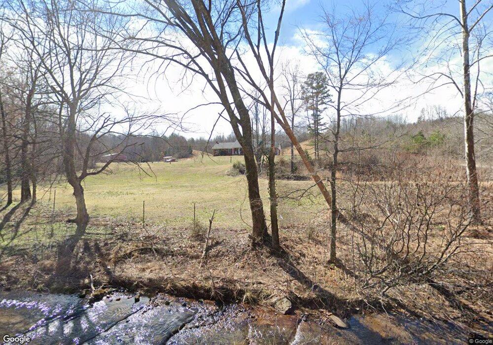
770 Mink Branch Rd Waynesboro, TN 38485
Estimated Value: $496,000 - $587,000
--
Bed
3
Baths
3,102
Sq Ft
$177/Sq Ft
Est. Value
About This Home
This home is located at 770 Mink Branch Rd, Waynesboro, TN 38485 and is currently estimated at $547,625, approximately $176 per square foot. 770 Mink Branch Rd is a home located in Wayne County with nearby schools including Wayne Academy.
Ownership History
Date
Name
Owned For
Owner Type
Purchase Details
Closed on
Nov 22, 2013
Sold by
Brown Michael Brandon
Bought by
Brown Michael Brandon and Brown Brandi
Current Estimated Value
Purchase Details
Closed on
May 21, 2008
Bought by
Moore Cleveland G & Amanda Jo
Purchase Details
Closed on
Sep 15, 2006
Sold by
Gallian Fay J
Bought by
Moore Cleveland G
Purchase Details
Closed on
Feb 13, 2003
Sold by
Joseph Carver William
Bought by
Michael Gallian
Purchase Details
Closed on
Mar 20, 1997
Sold by
Joseph Carver William
Bought by
Pearcy and Vicki
Purchase Details
Closed on
May 30, 1996
Sold by
Sevier Joe H
Bought by
William Carver
Purchase Details
Closed on
Jun 21, 1967
Create a Home Valuation Report for This Property
The Home Valuation Report is an in-depth analysis detailing your home's value as well as a comparison with similar homes in the area
Home Values in the Area
Average Home Value in this Area
Purchase History
| Date | Buyer | Sale Price | Title Company |
|---|---|---|---|
| Brown Michael Brandon | -- | -- | |
| Moore Cleveland G & Amanda Jo | $13,900 | -- | |
| Moore Cleveland G | $47,029 | -- | |
| Michael Gallian | $46,250 | -- | |
| Pearcy | $7,000 | -- | |
| William Carver | $25,000 | -- | |
| -- | -- | -- |
Source: Public Records
Tax History Compared to Growth
Tax History
| Year | Tax Paid | Tax Assessment Tax Assessment Total Assessment is a certain percentage of the fair market value that is determined by local assessors to be the total taxable value of land and additions on the property. | Land | Improvement |
|---|---|---|---|---|
| 2024 | $2,014 | $92,925 | $6,600 | $86,325 |
| 2023 | $1,782 | $92,925 | $6,600 | $86,325 |
| 2022 | $1,782 | $92,925 | $6,600 | $86,325 |
| 2021 | $1,596 | $92,925 | $6,600 | $86,325 |
| 2020 | $1,596 | $69,400 | $6,050 | $63,350 |
| 2019 | $1,596 | $69,400 | $6,050 | $63,350 |
| 2018 | $1,596 | $69,400 | $6,050 | $63,350 |
| 2017 | $1,504 | $65,375 | $6,050 | $59,325 |
| 2016 | $1,340 | $65,375 | $6,050 | $59,325 |
| 2014 | $1,255 | $60,608 | $0 | $0 |
Source: Public Records
Map
Nearby Homes
- 711 Hurricane Hill Dr
- 131 Susan Ln
- 418 Moore St
- 0 Waynesboro Hwy Unit RTC2991221
- 0 Waynesboro Hwy Unit RTC2806893
- 0 Waynesboro Hwy Unit RTC2821045
- 1027 Highway 99
- 123 Brewer Dr
- 117 N High St
- 104 Mink Branch Acres Dr
- 117 Belew Cir
- 310 W Hill St
- 110 Turman St
- 202 Morris St
- 214 Mcwilliams St
- 120 Wallace Dr
- 107 W Songer St
- 308 S High St
- 0 Simmons Branch Rd Unit 10181446
- 408 Poplar St
- 772 Mink Branch Rd
- 745 Mink Branch Rd
- 475 Faye Dr
- 739 Mink Branch Rd
- 735 Mink Branch Rd
- 418 Faye Dr
- 795 Mink Branch Rd
- 729 Mink Branch Rd
- 1068 Mink Branch Rd
- 431 Joe Sevier Dr
- 715 Mink Branch Rd
- 501 Joe Sevier Dr
- 324 Faye Dr
- 503 Joe Sevier Dr
- 505 Joe Sevier Dr
- 601 Joe Sevier Dr
- 2118 Mount Hope Rd
- 387 Faye Dr
- 425 Joe Sevier Dr
- 434 Faye Dr