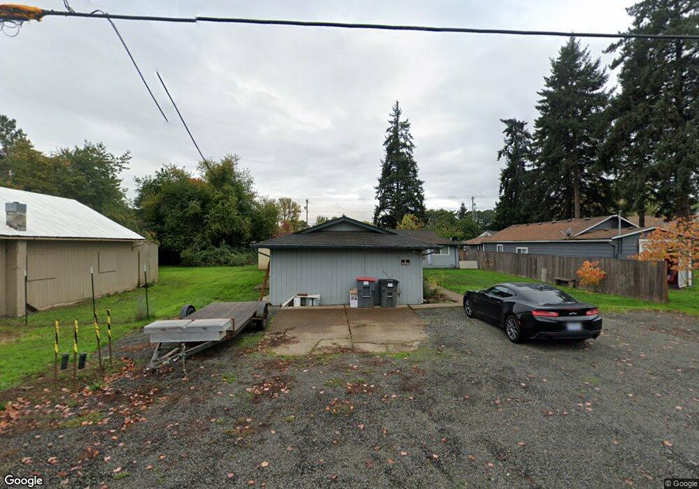
770 NE Yamhill St Sheridan, OR 97378
Estimated Value: $335,000 - $406,675
6
Beds
4
Baths
2,208
Sq Ft
$169/Sq Ft
Est. Value
About This Home
This home is located at 770 NE Yamhill St, Sheridan, OR 97378 and is currently estimated at $373,669, approximately $169 per square foot. 770 NE Yamhill St is a home located in Yamhill County with nearby schools including Faulconer-Chapman School, Sheridan High School, and Sheridan Allprep Academy.
Ownership History
Date
Name
Owned For
Owner Type
Purchase Details
Closed on
Jan 3, 2007
Sold by
Padilla Alberto and Godinez Maria
Bought by
Tucker Donald R and Tucker Tammy T
Current Estimated Value
Home Financials for this Owner
Home Financials are based on the most recent Mortgage that was taken out on this home.
Original Mortgage
$130,400
Outstanding Balance
$76,915
Interest Rate
6.16%
Mortgage Type
Purchase Money Mortgage
Estimated Equity
$296,754
Create a Home Valuation Report for This Property
The Home Valuation Report is an in-depth analysis detailing your home's value as well as a comparison with similar homes in the area
Home Values in the Area
Average Home Value in this Area
Purchase History
| Date | Buyer | Sale Price | Title Company |
|---|---|---|---|
| Tucker Donald R | $163,000 | First American Title |
Source: Public Records
Mortgage History
| Date | Status | Borrower | Loan Amount |
|---|---|---|---|
| Open | Tucker Donald R | $130,400 |
Source: Public Records
Tax History Compared to Growth
Tax History
| Year | Tax Paid | Tax Assessment Tax Assessment Total Assessment is a certain percentage of the fair market value that is determined by local assessors to be the total taxable value of land and additions on the property. | Land | Improvement |
|---|---|---|---|---|
| 2025 | $2,560 | $188,868 | -- | -- |
| 2024 | $2,351 | $183,367 | -- | -- |
| 2023 | $2,283 | $178,026 | $0 | $0 |
| 2022 | $2,220 | $172,841 | $0 | $0 |
| 2021 | $2,513 | $167,807 | $0 | $0 |
| 2020 | $2,428 | $162,919 | $0 | $0 |
| 2019 | $2,385 | $158,174 | $0 | $0 |
| 2018 | $2,318 | $153,567 | $0 | $0 |
| 2017 | $2,275 | $149,094 | $0 | $0 |
| 2016 | $2,207 | $144,751 | $0 | $0 |
| 2015 | $2,013 | $137,656 | $0 | $0 |
| 2014 | $2,116 | $140,536 | $0 | $0 |
Source: Public Records
Map
Nearby Homes
- 245 NE Balm St
- 634 E Main St
- 503 SE Sheridan Rd Unit 8
- 611 NE Bockes Loop
- 347 NE Oak St
- 515 SE Sheridan Rd
- 515 SE Sheridan Rd Unit 6
- 419 SE Sheridan Rd
- 785 NE Blair St
- 243 SE Harney St
- 21605 SW Cherry Hill Rd
- 510 NE Hill St
- 0 SW Rock Creek Rd Unit 216113550
- 0 SW Rock Creek Rd Unit 827138
- 1200 Blk NE Center St Unit Parcel 4
- 0 NE Center St Unit 1 491349230
- 0 NE Center St Unit 2 430429617
- 0 NE Center St Unit 3 552444847
- 0 NE Center St Unit 4 271594201
- 518 S Bridge St
- 153 NE Box St
- 132 NE Balm St
- 140 NE Balm St
- 148 NE Box St
- 719 E Main St
- 735 E Main St
- 707 E Main St
- 797 NE Yamhill St
- 745 E Main St
- 222 NE Balm St
- 191 NE Balm St
- 807 E Main St
- 203 NE Balm St
- 629 E Main St
- 858 NE Yamhill St
- 730 E Main St
- 712 E Main St Unit 1
- 712 E Main St
- 246 NE Balm St
- 742 E Main St