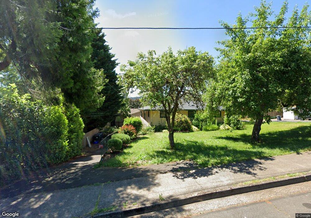
770 W 22nd Ave Eugene, OR 97405
Friendly NeighborhoodEstimated Value: $583,000 - $757,000
4
Beds
3
Baths
1,398
Sq Ft
$477/Sq Ft
Est. Value
About This Home
This home is located at 770 W 22nd Ave, Eugene, OR 97405 and is currently estimated at $666,876, approximately $477 per square foot. 770 W 22nd Ave is a home located in Lane County with nearby schools including Adams Elementary School, Roosevelt Middle School, and South Eugene High School.
Ownership History
Date
Name
Owned For
Owner Type
Purchase Details
Closed on
May 26, 2015
Sold by
Aerenson Jane Jeya E Y
Bought by
Aerenson Jane Jeya E Y and Jeya Aerenson Living Trust
Current Estimated Value
Purchase Details
Closed on
Sep 7, 2005
Sold by
Abel Bruce C and Richards Gail A
Bought by
Aerenson Jane E Y
Create a Home Valuation Report for This Property
The Home Valuation Report is an in-depth analysis detailing your home's value as well as a comparison with similar homes in the area
Home Values in the Area
Average Home Value in this Area
Purchase History
| Date | Buyer | Sale Price | Title Company |
|---|---|---|---|
| Aerenson Jane Jeya E Y | -- | None Available | |
| Aerenson Jane E Y | $335,000 | Western Title & Escrow Compa |
Source: Public Records
Tax History
| Year | Tax Paid | Tax Assessment Tax Assessment Total Assessment is a certain percentage of the fair market value that is determined by local assessors to be the total taxable value of land and additions on the property. | Land | Improvement |
|---|---|---|---|---|
| 2025 | $6,016 | $308,752 | -- | -- |
| 2024 | $5,941 | $299,760 | -- | -- |
| 2023 | $5,941 | $291,030 | $0 | $0 |
| 2022 | $5,566 | $282,554 | $0 | $0 |
| 2021 | $5,227 | $274,325 | $0 | $0 |
| 2020 | $5,246 | $266,335 | $0 | $0 |
| 2019 | $5,066 | $258,578 | $0 | $0 |
| 2018 | $4,509 | $230,430 | $0 | $0 |
| 2017 | $4,307 | $230,430 | $0 | $0 |
| 2016 | $4,200 | $223,718 | $0 | $0 |
| 2015 | $4,079 | $217,202 | $0 | $0 |
| 2014 | -- | $210,876 | $0 | $0 |
Source: Public Records
Map
Nearby Homes
- 0 Monroe St Unit 343774498
- 1924 Friendly St
- 870 W 25th Ave
- 557 W 19th Ave
- 2095 Polk St
- 951 W 27th Ave
- 865 W 28th Ave
- 2031 Olive St
- 1890 Taylor St
- 1673 Olive Aly
- 1612 Polk St
- 84 W 27th Ave
- 537 W 14th Ave
- 177 E 20th Ave
- 181 Civic Dr
- 193 E 20th Ave
- 1275 Jefferson St
- 1313 Lincoln St Unit 503
- 1313 Lincoln St Unit 1005
- 1313 Lincoln St Unit 401
- 2207 Monroe St
- 2235 Monroe St
- 2191 Monroe St
- 2251 Monroe St
- 711 W 22nd Ave
- 812 W 22nd Ave
- 2181 Monroe St
- 2220 Monroe St
- 2182 Madison St
- 757 W 23rd Ave
- 2190 Monroe St
- 735 W 23rd Ave
- 2295 Monroe St
- 830 W 22nd Ave
- 715 W 23rd Ave
- 2250 Monroe St
- 0 Monroe St Unit 20692325
- 0 Monroe St Unit 20547744
- 0 Monroe St Unit 11194143
- 0 Monroe St Unit 75 18087908
Your Personal Tour Guide
Ask me questions while you tour the home.