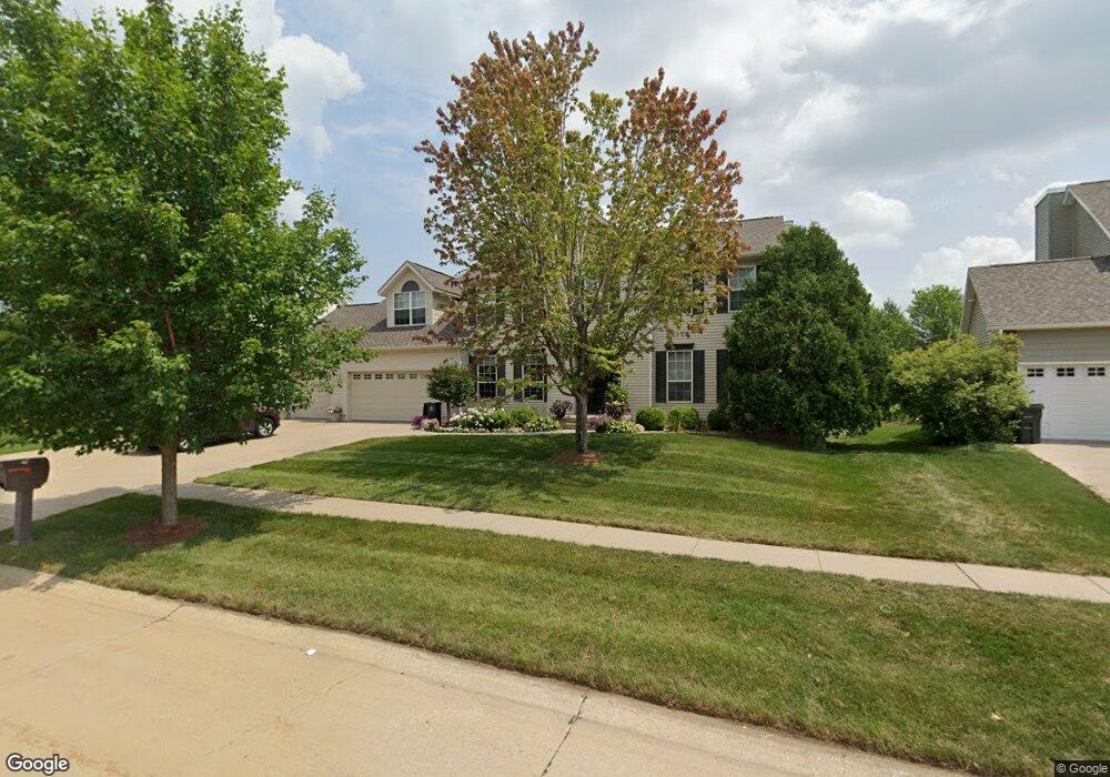
7700 Winston Dr NE Cedar Rapids, IA 52402
Estimated Value: $386,000 - $436,000
4
Beds
5
Baths
2,964
Sq Ft
$140/Sq Ft
Est. Value
About This Home
This home is located at 7700 Winston Dr NE, Cedar Rapids, IA 52402 and is currently estimated at $414,131, approximately $139 per square foot. 7700 Winston Dr NE is a home located in Linn County with nearby schools including Bowman Woods Elementary School, Oak Ridge School, and Linn-Mar High School.
Ownership History
Date
Name
Owned For
Owner Type
Purchase Details
Closed on
Aug 26, 1999
Sold by
Gilbertson Bruce M and Gilbertson Karen C
Bought by
Deuso Jay S and Deuso Michelle L
Current Estimated Value
Home Financials for this Owner
Home Financials are based on the most recent Mortgage that was taken out on this home.
Original Mortgage
$183,200
Outstanding Balance
$48,291
Interest Rate
6.37%
Estimated Equity
$365,840
Create a Home Valuation Report for This Property
The Home Valuation Report is an in-depth analysis detailing your home's value as well as a comparison with similar homes in the area
Home Values in the Area
Average Home Value in this Area
Purchase History
| Date | Buyer | Sale Price | Title Company |
|---|---|---|---|
| Deuso Jay S | $228,500 | -- |
Source: Public Records
Mortgage History
| Date | Status | Borrower | Loan Amount |
|---|---|---|---|
| Open | Deuso Jay S | $183,200 |
Source: Public Records
Tax History Compared to Growth
Tax History
| Year | Tax Paid | Tax Assessment Tax Assessment Total Assessment is a certain percentage of the fair market value that is determined by local assessors to be the total taxable value of land and additions on the property. | Land | Improvement |
|---|---|---|---|---|
| 2025 | $7,194 | $372,600 | $65,000 | $307,600 |
| 2024 | $7,344 | $377,600 | $65,000 | $312,600 |
| 2023 | $7,344 | $377,600 | $65,000 | $312,600 |
| 2022 | $6,748 | $330,200 | $59,100 | $271,100 |
| 2021 | $6,868 | $313,800 | $55,100 | $258,700 |
| 2020 | $6,868 | $301,100 | $45,300 | $255,800 |
| 2019 | $6,448 | $286,100 | $45,300 | $240,800 |
| 2018 | $6,168 | $286,100 | $45,300 | $240,800 |
| 2017 | $6,254 | $281,400 | $45,300 | $236,100 |
| 2016 | $6,115 | $273,400 | $45,300 | $228,100 |
| 2015 | $6,295 | $281,079 | $27,569 | $253,510 |
| 2014 | $6,100 | $281,079 | $27,569 | $253,510 |
| 2013 | $5,892 | $281,079 | $27,569 | $253,510 |
Source: Public Records
Map
Nearby Homes
- 7320 Hampshire Dr NE
- 3310 Timber Ridge Ct
- 7415 Pin Tail Dr NE
- 342 Cambridge Dr NE
- 7502 Summerset Ave NE
- 7599 Summerset Ave NE
- 8901 Zeppelin Ave NE
- 222 Mccarran Ave NE
- 226 Mccarran Ave NE
- 219 Mccarran Ave NE
- 207 Meadows Field Dr NE
- 219 Meadows Field Dr NE
- 803 73rd St NE
- 316 Sussex Dr NE
- 8800 Zeppelin Ave
- 1000 Hampshire Cir
- 980 Hampshire Cir
- 935 74th St NE Unit 1
- 1150 Bedford Ct
- 960 Hampshire Cir
- 7704 Winston Dr NE
- 7618 Winston Dr NE
- 7701 Thorndale Dr NE
- 7708 Winston Dr NE
- 7709 Thorndale Dr NE
- 7614 Winston Dr NE
- 7703 Winston Dr NE
- 7619 Thorndale Dr NE
- 7707 Winston Dr NE
- 7713 Thorndale Dr NE
- 7617 Winston Dr NE
- 7712 Winston Dr NE
- 7711 Winston Dr NE
- 7610 Winston Dr NE
- 7615 Thorndale Dr NE
- 7715 Winston Dr NE
- 7611 Winston Dr NE
- 7609 Thorndale Dr NE
- 7717 Thorndale Dr NE
- 7716 Winston Dr NE