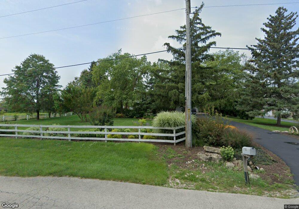
7701 N Hill Rd Marengo, IL 60152
Estimated Value: $448,000 - $705,000
--
Bed
--
Bath
1,492
Sq Ft
$388/Sq Ft
Est. Value
About This Home
This home is located at 7701 N Hill Rd, Marengo, IL 60152 and is currently estimated at $578,158, approximately $387 per square foot. 7701 N Hill Rd is a home located in McHenry County with nearby schools including Riley Community Consolidated School District 18, Marengo Community High School, and Zion Lutheran School.
Ownership History
Date
Name
Owned For
Owner Type
Purchase Details
Closed on
Jul 1, 2024
Sold by
Snyder Family Trust and Snyder Joy L
Bought by
Joy L Snyder Trust and Snyder
Current Estimated Value
Purchase Details
Closed on
Mar 1, 2020
Sold by
Snyder William P and Snyder Joy L
Bought by
Snyder William P and Snyder Joy L
Purchase Details
Closed on
Jul 24, 2002
Sold by
Jacobs Gerald G and Jacobs Connie M
Bought by
Snyder William P and Snyder Joy L
Home Financials for this Owner
Home Financials are based on the most recent Mortgage that was taken out on this home.
Original Mortgage
$332,000
Interest Rate
6.5%
Create a Home Valuation Report for This Property
The Home Valuation Report is an in-depth analysis detailing your home's value as well as a comparison with similar homes in the area
Home Values in the Area
Average Home Value in this Area
Purchase History
| Date | Buyer | Sale Price | Title Company |
|---|---|---|---|
| Joy L Snyder Trust | -- | None Listed On Document | |
| Snyder William P | -- | None Available | |
| Snyder William P | $425,000 | Ticor Title |
Source: Public Records
Mortgage History
| Date | Status | Borrower | Loan Amount |
|---|---|---|---|
| Previous Owner | Snyder William P | $332,000 |
Source: Public Records
Tax History Compared to Growth
Tax History
| Year | Tax Paid | Tax Assessment Tax Assessment Total Assessment is a certain percentage of the fair market value that is determined by local assessors to be the total taxable value of land and additions on the property. | Land | Improvement |
|---|---|---|---|---|
| 2024 | $4,604 | $113,836 | $11,762 | $102,074 |
| 2023 | $6,950 | $102,320 | $10,508 | $91,812 |
| 2022 | $7,066 | $94,477 | $9,641 | $84,836 |
| 2021 | $5,058 | $88,111 | $8,933 | $79,178 |
| 2020 | $6,519 | $83,715 | $8,435 | $75,280 |
| 2019 | $6,963 | $80,445 | $8,057 | $72,388 |
| 2018 | $6,823 | $77,657 | $6,286 | $71,371 |
| 2017 | $6,722 | $75,311 | $6,059 | $69,252 |
| 2016 | $6,669 | $72,728 | $5,816 | $66,912 |
| 2013 | -- | $75,843 | $16,635 | $59,208 |
Source: Public Records
Map
Nearby Homes
- 8106 Maple St
- 8116 Maple St
- 7001 Maple St
- 1210 Maplewood Dr
- 1200 Maplewood Dr
- 935 Courtney Ln
- 0 Ratfield Rd
- 20510 Delks Dr
- 8808 S Hill Rd
- Paxton Plan at Brookside Meadows
- 730 Cloverleaf Dr
- 720 Cloverleaf Dr
- 49.64 ACRES Beck Rd
- 0 S Grant Hwy
- 6211 Maple St Unit 501
- 900 Mary Ct
- 5 Lindow Ave
- 8 Lindow Ave
- 6 Lindow Ave
- 18708 Beck Rd
- 7613 N Hill Rd
- 7715 N Hill Rd
- 7609 N Hill Rd
- 7706 N Hill Rd
- 7712 N Hill Rd
- 7702 N Hill Rd
- 7603 N Hill Rd
- 7610 N Hill Rd
- 7719 N Hill Rd
- 7802 N Hill Rd
- 7517 N Hill Rd
- 7515 N Hill Rd
- 7516 N Hill Rd
- 7716 N Hill Rd
- 7808 N Hill Rd
- 7509 N Hill Rd
- 20120 W Coral Rd
- 7907 N Hill Rd
- 7510 N Hill Rd
- 20218 W Coral Rd