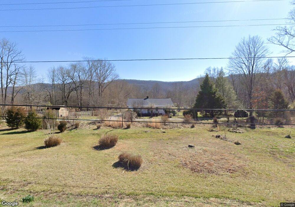
7705 Highway 297 Pioneer, TN 37847
Estimated Value: $135,031 - $239,000
--
Bed
1
Bath
1,144
Sq Ft
$148/Sq Ft
Est. Value
About This Home
This home is located at 7705 Highway 297, Pioneer, TN 37847 and is currently estimated at $169,258, approximately $147 per square foot. 7705 Highway 297 is a home located in Campbell County.
Ownership History
Date
Name
Owned For
Owner Type
Purchase Details
Closed on
Mar 23, 2023
Sold by
Meredith Mac Marson
Bought by
Ballard Kenneth J and Harris Kathleen D
Current Estimated Value
Purchase Details
Closed on
Nov 29, 1999
Sold by
Brown J W
Bought by
Reclamation Robert Clear
Purchase Details
Closed on
May 2, 1988
Bought by
Meredith Mac Marson
Purchase Details
Closed on
Nov 28, 1980
Bought by
Meredith Freda R
Create a Home Valuation Report for This Property
The Home Valuation Report is an in-depth analysis detailing your home's value as well as a comparison with similar homes in the area
Home Values in the Area
Average Home Value in this Area
Purchase History
| Date | Buyer | Sale Price | Title Company |
|---|---|---|---|
| Ballard Kenneth J | $100,000 | -- | |
| Ballard Kenneth J | $100,000 | None Listed On Document | |
| Reclamation Robert Clear | $55,000 | -- | |
| Meredith Mac Marson | -- | -- | |
| Meredith Freda R | -- | -- |
Source: Public Records
Tax History Compared to Growth
Tax History
| Year | Tax Paid | Tax Assessment Tax Assessment Total Assessment is a certain percentage of the fair market value that is determined by local assessors to be the total taxable value of land and additions on the property. | Land | Improvement |
|---|---|---|---|---|
| 2024 | $371 | $30,500 | $9,150 | $21,350 |
| 2023 | $418 | $20,250 | $7,750 | $12,500 |
| 2022 | $418 | $20,250 | $7,750 | $12,500 |
| 2021 | $418 | $20,250 | $7,750 | $12,500 |
| 2020 | $358 | $20,250 | $7,750 | $12,500 |
| 2019 | $365 | $20,250 | $7,750 | $12,500 |
| 2018 | $363 | $16,150 | $6,875 | $9,275 |
| 2017 | $363 | $16,150 | $6,875 | $9,275 |
| 2016 | $363 | $16,150 | $6,875 | $9,275 |
| 2015 | $321 | $16,150 | $6,875 | $9,275 |
| 2014 | $321 | $16,150 | $6,875 | $9,275 |
| 2013 | -- | $16,150 | $6,875 | $9,275 |
Source: Public Records
Map
Nearby Homes
- 0 Lick Fork Ln
- 580 Elk Fork Rd
- 0 Tennessee 297
- 187 Grouse Ln
- 6646 Tennessee 297
- Lot 82 Grouse Ln
- 207 Lick Fork Ln
- 0 I-75 Rd
- 137 Summerset Ln
- 118 N Meredith Rd
- 0 Lone Rd
- 976 Lone Rd
- 142 Wagon Wheel Ln
- 0 Stinking Creek 61 Acres Rd
- 2506 Little Elk Creek Rd
- 0 Stinking Creek Rd
- 143 Elk Ridge Ln
- 0 Hatfield Creek Rd
- 150 Timber Oaks Ln
- 0 Smith Creek Rd Unit 1309671
- 7641 Highway 297
- 105 Elk Fork Rd
- 7603 Highway 297
- 7575 Highway 297
- 7575 Highway 297
- 125 Elk Fork Rd
- 154 Elk Fork Rd
- 0 Elk Fork Rd Unit 1058583
- 7561 Highway 297
- 272 Meredith Ln
- 243 Lick Fork Ln
- 180 Elk Fork Rd
- 217 Elk Fork Rd
- 273 Meredith Ln
- 119 Meredith Ln
- 235 Meredith Ln
- 655 Red Cut Rd
- 273 Elk Fork Rd
- 577 Red Cut Rd
- 8331 Highway 297