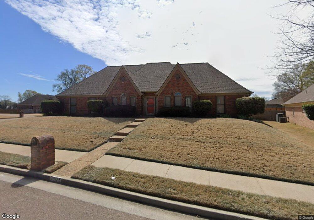
7705 Thunderstone Cir S Memphis, TN 38125
Southern Shelby County NeighborhoodEstimated Value: $295,000 - $351,000
4
Beds
2
Baths
2,822
Sq Ft
$114/Sq Ft
Est. Value
About This Home
This home is located at 7705 Thunderstone Cir S, Memphis, TN 38125 and is currently estimated at $320,429, approximately $113 per square foot. 7705 Thunderstone Cir S is a home located in Shelby County with nearby schools including Lowrance Elementary School, Southwind High School, and Power Center Academy - Southeast.
Ownership History
Date
Name
Owned For
Owner Type
Purchase Details
Closed on
Mar 13, 1998
Sold by
Clark Richard S and Clark Michele M
Bought by
Hunter Robbie P
Current Estimated Value
Home Financials for this Owner
Home Financials are based on the most recent Mortgage that was taken out on this home.
Original Mortgage
$161,400
Outstanding Balance
$27,542
Interest Rate
6.95%
Mortgage Type
Purchase Money Mortgage
Estimated Equity
$292,887
Create a Home Valuation Report for This Property
The Home Valuation Report is an in-depth analysis detailing your home's value as well as a comparison with similar homes in the area
Home Values in the Area
Average Home Value in this Area
Purchase History
| Date | Buyer | Sale Price | Title Company |
|---|---|---|---|
| Hunter Robbie P | $169,900 | Southern Escrow Title Compan | |
| Hunter Robbie P | $169,900 | Southern Escrow Title Compan |
Source: Public Records
Mortgage History
| Date | Status | Borrower | Loan Amount |
|---|---|---|---|
| Open | Hunter Robbie P | $161,400 | |
| Closed | Hunter Robbie P | $161,400 |
Source: Public Records
Tax History
| Year | Tax Paid | Tax Assessment Tax Assessment Total Assessment is a certain percentage of the fair market value that is determined by local assessors to be the total taxable value of land and additions on the property. | Land | Improvement |
|---|---|---|---|---|
| 2025 | -- | $76,900 | $12,000 | $64,900 |
| 2024 | -- | $57,850 | $8,300 | $49,550 |
| 2023 | $1,961 | $57,850 | $8,300 | $49,550 |
| 2022 | $1,961 | $57,850 | $8,300 | $49,550 |
| 2021 | $1,996 | $57,850 | $8,300 | $49,550 |
| 2020 | $1,768 | $43,650 | $8,300 | $35,350 |
| 2019 | $1,768 | $43,650 | $8,300 | $35,350 |
| 2018 | $1,768 | $43,650 | $8,300 | $35,350 |
| 2017 | $1,794 | $43,650 | $8,300 | $35,350 |
| 2016 | $1,774 | $40,600 | $0 | $0 |
| 2014 | $1,774 | $40,600 | $0 | $0 |
Source: Public Records
Map
Nearby Homes
- 4316 Hughes Meadow Cove
- 7527 Wilsford Cove
- 7519 Split Rail Cove
- 7893 Collins Wood Cove
- 4333 Rainey Woods Cove
- 4502 Sweet Whisper Cove
- 4419 Berkley Woods Dr
- 4316 Barry Meadows Cove
- 7743 Freehold Dr
- 4580 Wood Fox Cove
- 7475 Kingsland Dr
- 7703 Driscoll St
- 4290 Creek Manor Ln
- 7271 Barnstable Rd
- 7345 Old Dominion Ct
- 7321 Stonington Dr
- 4347 Spring Oak Cove
- 4223 Wethersby Dr
- 4735 Harvest Knoll Cove N
- 7266 Woodshire Rd
- 4295 Thunderstone Cir W
- 4274 Willow Pond Cove
- 4280 Willow Pond Cove
- 7708 Thunderstone Cir S
- 7683 Richwood Place
- 4295 Willow Pond Cove
- 4286 Willow Pond Cove
- 7714 Thunderstone Cir S
- 7717 Thunderstone Cir S
- 4284 Thunderstone Cir W
- 4292 Willow Pond Cove
- 4298 Willow Pond Cove
- 7686 Richwood Place
- 4260 Long Creek Rd
- 4252 Long Creek Rd
- 7713 Meadowside Cove
- 7724 Thunderstone Cir S
- 7727 Thunderstone Cir S
- 4268 Long Creek Rd
- 4274 Thunderstone Cir W
Your Personal Tour Guide
Ask me questions while you tour the home.