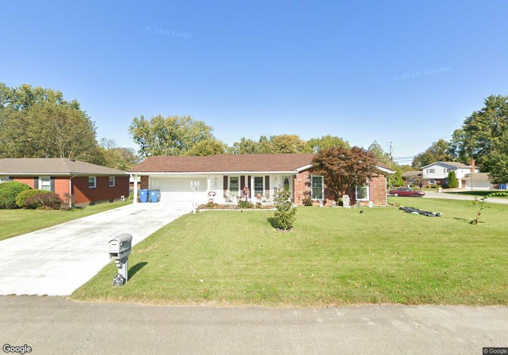
7707 Brownwood Dr Louisville, KY 40218
Estimated Value: $328,000 - $385,000
3
Beds
3
Baths
3,460
Sq Ft
$107/Sq Ft
Est. Value
About This Home
This home is located at 7707 Brownwood Dr, Louisville, KY 40218 and is currently estimated at $369,700, approximately $106 per square foot. 7707 Brownwood Dr is a home located in Jefferson County with nearby schools including Tully Elementary School, Cochrane Elementary School, and Watterson Elementary School.
Ownership History
Date
Name
Owned For
Owner Type
Purchase Details
Closed on
May 1, 2014
Sold by
Mcguffey Robert and Mcguffey Melissa
Bought by
Garrett Karen W and Garrett Gregory T
Current Estimated Value
Home Financials for this Owner
Home Financials are based on the most recent Mortgage that was taken out on this home.
Original Mortgage
$193,460
Outstanding Balance
$147,989
Interest Rate
4.43%
Mortgage Type
FHA
Estimated Equity
$221,711
Purchase Details
Closed on
Jul 24, 2009
Sold by
Doutrick Dennis C and Doutrick Stephanie L
Bought by
Mcguffey Robert and Mcguffey Melissa
Home Financials for this Owner
Home Financials are based on the most recent Mortgage that was taken out on this home.
Original Mortgage
$105,500
Interest Rate
5.53%
Mortgage Type
Purchase Money Mortgage
Purchase Details
Closed on
Feb 8, 2002
Sold by
Woodcox Jerry L and Woodcox Janice
Bought by
Doutrick Dennis C
Create a Home Valuation Report for This Property
The Home Valuation Report is an in-depth analysis detailing your home's value as well as a comparison with similar homes in the area
Home Values in the Area
Average Home Value in this Area
Purchase History
| Date | Buyer | Sale Price | Title Company |
|---|---|---|---|
| Garrett Karen W | $197,030 | American Title Co Inc | |
| Mcguffey Robert | $185,500 | None Available | |
| Doutrick Dennis C | $155,000 | Southeast Title Svcs Llc |
Source: Public Records
Mortgage History
| Date | Status | Borrower | Loan Amount |
|---|---|---|---|
| Open | Garrett Karen W | $193,460 | |
| Previous Owner | Mcguffey Robert | $105,500 |
Source: Public Records
Tax History Compared to Growth
Tax History
| Year | Tax Paid | Tax Assessment Tax Assessment Total Assessment is a certain percentage of the fair market value that is determined by local assessors to be the total taxable value of land and additions on the property. | Land | Improvement |
|---|---|---|---|---|
| 2024 | $3,721 | $324,940 | $48,500 | $276,440 |
| 2023 | $2,816 | $239,040 | $38,800 | $200,240 |
| 2022 | $2,825 | $239,040 | $38,800 | $200,240 |
| 2021 | $3,074 | $239,040 | $38,800 | $200,240 |
| 2020 | $2,379 | $197,070 | $33,000 | $164,070 |
| 2019 | $2,333 | $197,070 | $33,000 | $164,070 |
| 2018 | $2,307 | $197,070 | $33,000 | $164,070 |
| 2017 | $2,068 | $197,070 | $33,000 | $164,070 |
| 2013 | $1,855 | $185,500 | $28,000 | $157,500 |
Source: Public Records
Map
Nearby Homes
- The Ruby Plan at Hurstbourne Commons - The Paddock at Hurstbourne Commons
- The Sapphire Plan at Hurstbourne Commons - The Paddock at Hurstbourne Commons
- The Opal Plan at Hurstbourne Commons - The Paddock at Hurstbourne Commons
- The Iris Plan at Hurstbourne Commons - The Paddock at Hurstbourne Commons
- The Emerald Plan at Hurstbourne Commons - The Paddock at Hurstbourne Commons
- 4428 Fallen Apple Ln
- 8003 Penny Rose Ct
- 8014 Happy Jack Way
- 7223 Meadow Ridge Dr
- 4706 Lacarem Dr
- 3836 Brody Ln
- 4309 Harvest Moon Dr
- 4607 Bardstown Rd
- 7900 Ridgehurst Place
- 4909 Clarmar Rd
- 3806 Village Green Dr
- 7054 Wildwood Cir Unit 116
- 7050 Wildwood Cir Unit 103
- 7052 Wildwood Cir Unit 111
- 7050 Wildwood Cir Unit 99
- 7705 Brownwood Dr
- 7709 Brownwood Place
- 7715 Brownwood Place
- 7703 Brownwood Dr
- 7711 Brownwood Place
- 7708 Brownwood Dr
- 7713 Brownwood Place
- 7706 Brownwood Dr
- 7800 Brownwood Dr
- 4121 Wenwood Dr
- 4119 Wenwood Dr
- 7802 Brownwood Dr
- 4123 Wenwood Dr
- 7704 Brownwood Dr
- 7702 Brownwood Dr
- 7803 Brownwood Dr
- 4117 Wenwood Dr
- 4201 Wenwood Dr
- 7806 Whitfield Dr
- 7804 Whitfield Dr