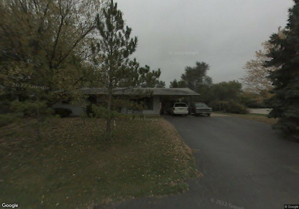
7708 Utility Ct Spring Grove, IL 60081
Estimated Value: $108,000 - $299,000
Studio
2
Baths
--
Sq Ft
11,979
Sq Ft Lot
About This Home
This home is located at 7708 Utility Ct, Spring Grove, IL 60081 and is currently estimated at $190,333. 7708 Utility Ct is a home located in McHenry County with nearby schools including Spring Grove Elementary School, Nippersink Middle School, and Richmond-Burton High School.
Ownership History
Date
Name
Owned For
Owner Type
Purchase Details
Closed on
Sep 29, 2023
Sold by
Glick Mary and Arnet Alice
Bought by
Hernandez Salvador and Hernandez Melissa
Current Estimated Value
Home Financials for this Owner
Home Financials are based on the most recent Mortgage that was taken out on this home.
Original Mortgage
$198,400
Outstanding Balance
$194,218
Interest Rate
6.75%
Mortgage Type
New Conventional
Estimated Equity
-$3,885
Purchase Details
Closed on
Jan 16, 2017
Sold by
Rabelhofer Mary
Bought by
Glick Mark and Arnet Alice
Create a Home Valuation Report for This Property
The Home Valuation Report is an in-depth analysis detailing your home's value as well as a comparison with similar homes in the area
Home Values in the Area
Average Home Value in this Area
Purchase History
| Date | Buyer | Sale Price | Title Company |
|---|---|---|---|
| Hernandez Salvador | $248,000 | None Listed On Document | |
| Glick Mark | -- | None Available |
Source: Public Records
Mortgage History
| Date | Status | Borrower | Loan Amount |
|---|---|---|---|
| Open | Hernandez Salvador | $198,400 |
Source: Public Records
Tax History
| Year | Tax Paid | Tax Assessment Tax Assessment Total Assessment is a certain percentage of the fair market value that is determined by local assessors to be the total taxable value of land and additions on the property. | Land | Improvement |
|---|---|---|---|---|
| 2024 | $1,153 | $15,071 | $15,071 | -- |
| 2023 | $1,127 | $13,777 | $13,777 | -- |
| 2022 | $1,074 | $12,405 | $12,405 | $0 |
| 2021 | $1,043 | $11,906 | $11,906 | $0 |
| 2020 | $1,029 | $11,456 | $11,456 | $0 |
| 2019 | $1,019 | $11,088 | $11,088 | $0 |
| 2018 | $1,031 | $10,630 | $10,630 | $0 |
| 2017 | $1,035 | $10,123 | $10,123 | $0 |
| 2016 | $1,024 | $9,491 | $9,491 | $0 |
| 2013 | -- | $8,974 | $8,974 | $0 |
Source: Public Records
Map
Nearby Homes
- 1992 Red Oak Ln
- 2150 U S 12
- 2003 Red Oak Ln
- LOT 9 Mayo Ct
- 1876 Red Oak Ln
- 7393 English Oak Ln
- Lot 36 Red Oak Ln
- 7377 English Oak Ln
- 7389 English Oak Ln
- 7381 English Oak Ln
- 2214 Main Street Rd
- 7373 English Oak Ln
- 7388 English Oak Ln
- 1979 Red Oak Ln
- 1975 Red Oak Ln
- 1971 Red Oak Ln
- 2617 Spring Leaf Dr
- 1852 Red Oak Ln
- 7416 Briar Ct
- 1848 Red Oak Ln
- 7702 Utility St
- 7711 Broadview Ct
- 7710 Utility St
- 7713 Broadview Ct
- 2215 Westward Dr
- 2300 Westward Dr
- 2302 U S 12 Unit REAR
- 2302 U S 12
- 2213 Westward Dr
- 7715 Broadview Ct
- 7703 Utility St
- 7712 Utility Ct
- 7712 Utility St
- 2302 NW Route 12 Hwy NW
- 2302 N Us Highway 12 Unit REAR
- 2302 N Us Highway 12
- 7709 Utility St
- 7717 Broadview Ct
- 2214 N Us Highway 12 Unit E
- 7704 Broadview Ct
Your Personal Tour Guide
Ask me questions while you tour the home.