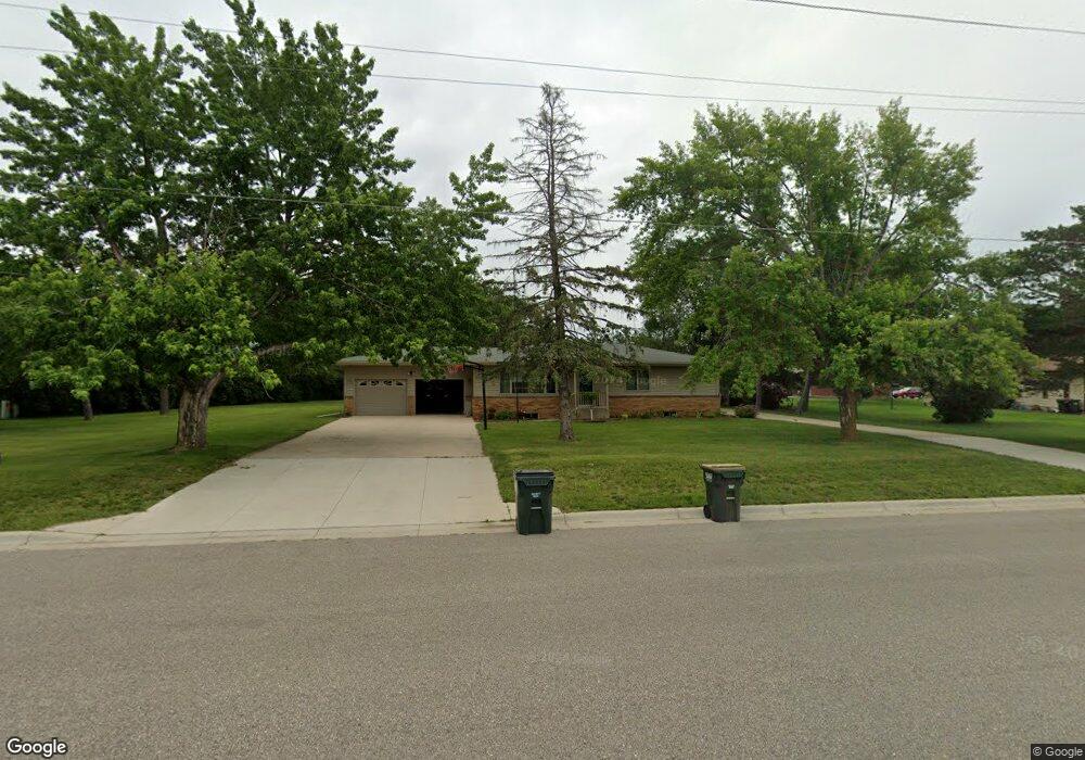
771 Burr St Paynesville, MN 56362
Estimated Value: $291,000 - $303,000
3
Beds
2
Baths
1,491
Sq Ft
$197/Sq Ft
Est. Value
About This Home
This home is located at 771 Burr St, Paynesville, MN 56362 and is currently estimated at $294,306, approximately $197 per square foot. 771 Burr St is a home located in Stearns County with nearby schools including Paynesville Elementary School, Paynesville Middle School, and Paynesville Area High School.
Ownership History
Date
Name
Owned For
Owner Type
Purchase Details
Closed on
Jan 17, 2023
Sold by
Deegan Richard
Bought by
Starken Daniel and Starken Fakaanaua
Current Estimated Value
Home Financials for this Owner
Home Financials are based on the most recent Mortgage that was taken out on this home.
Original Mortgage
$210,400
Outstanding Balance
$203,762
Interest Rate
6.49%
Mortgage Type
New Conventional
Estimated Equity
$90,544
Purchase Details
Closed on
Sep 11, 1997
Sold by
Chladek
Bought by
Deegan
Create a Home Valuation Report for This Property
The Home Valuation Report is an in-depth analysis detailing your home's value as well as a comparison with similar homes in the area
Home Values in the Area
Average Home Value in this Area
Purchase History
| Date | Buyer | Sale Price | Title Company |
|---|---|---|---|
| Starken Daniel | $263,000 | -- | |
| Deegan | -- | -- |
Source: Public Records
Mortgage History
| Date | Status | Borrower | Loan Amount |
|---|---|---|---|
| Open | Starken Daniel | $210,400 |
Source: Public Records
Tax History Compared to Growth
Tax History
| Year | Tax Paid | Tax Assessment Tax Assessment Total Assessment is a certain percentage of the fair market value that is determined by local assessors to be the total taxable value of land and additions on the property. | Land | Improvement |
|---|---|---|---|---|
| 2025 | $2,900 | $261,200 | $27,800 | $233,400 |
| 2024 | $2,900 | $245,200 | $27,800 | $217,400 |
| 2023 | $2,466 | $211,700 | $31,500 | $180,200 |
| 2022 | $3,426 | $173,200 | $28,600 | $144,600 |
| 2021 | $3,402 | $173,200 | $28,600 | $144,600 |
| 2020 | $3,616 | $173,300 | $28,600 | $144,700 |
| 2019 | $1,912 | $157,200 | $27,600 | $129,600 |
| 2018 | $1,708 | $149,500 | $31,900 | $117,600 |
| 2017 | $1,618 | $143,700 | $31,900 | $111,800 |
| 2016 | $1,602 | $0 | $0 | $0 |
| 2015 | $1,536 | $0 | $0 | $0 |
| 2014 | -- | $0 | $0 | $0 |
Source: Public Records
Map
Nearby Homes
- 27677 Highway 55
- 622 Spruce St
- 523 W Mill St
- 369 W Mill St
- 381 Spruce St
- 309 Wendell St
- 440 N Grande St
- 400 N Grande St
- 416 South St
- 421 South St
- 511 Morningside Ave
- 701 South St
- 750 South St
- 790 South St
- 28780 Clarence Ct
- 28726 Clarence Ct
- 28707 Clarence Ct
- 28642 Clarence Ct
- 28630 Clarence Ct
- 28653 Clarence Ct
- 680 Circle Pines Ct
- 675 Service Rd
- 663 Service Rd
- 681 Service Rd
- 649 Service Rd
- 648 Circle Pines Ct
- 681 Circle Pines Ct
- 673 Circle Pines Ct
- 705 E State Highway 55
- 635 Service Rd
- 638 Circle Pines Ct
- 661 Circle Pines Ct
- 661 Circle Pines Ct
- 643 Circle Pines Ct
- 724 Maple St
- 649 Circle Pines Ct
- 707 E State Highway 55
- 680 Ponderosa St
- 674 Ponderosa St
- 662 Ponderosa St