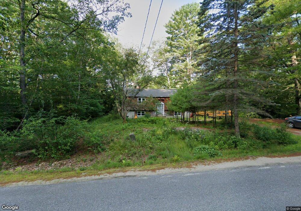
771 Kansas Rd Bridgton, ME 04009
Estimated Value: $301,000 - $390,000
2
Beds
1
Bath
1,075
Sq Ft
$312/Sq Ft
Est. Value
About This Home
This home is located at 771 Kansas Rd, Bridgton, ME 04009 and is currently estimated at $335,158, approximately $311 per square foot. 771 Kansas Rd is a home located in Cumberland County with nearby schools including Lake Region High School.
Ownership History
Date
Name
Owned For
Owner Type
Purchase Details
Closed on
Mar 24, 2010
Sold by
Scammon David D and Scammon Dianne E
Bought by
Pantano Louis C
Current Estimated Value
Home Financials for this Owner
Home Financials are based on the most recent Mortgage that was taken out on this home.
Original Mortgage
$102,900
Outstanding Balance
$68,336
Interest Rate
5.02%
Mortgage Type
Purchase Money Mortgage
Estimated Equity
$266,822
Create a Home Valuation Report for This Property
The Home Valuation Report is an in-depth analysis detailing your home's value as well as a comparison with similar homes in the area
Home Values in the Area
Average Home Value in this Area
Purchase History
| Date | Buyer | Sale Price | Title Company |
|---|---|---|---|
| Pantano Louis C | -- | -- |
Source: Public Records
Mortgage History
| Date | Status | Borrower | Loan Amount |
|---|---|---|---|
| Open | Pantano Louis C | $15,000 | |
| Open | Pantano Louis C | $102,900 | |
| Previous Owner | Pantano Louis C | $15,875 |
Source: Public Records
Tax History Compared to Growth
Tax History
| Year | Tax Paid | Tax Assessment Tax Assessment Total Assessment is a certain percentage of the fair market value that is determined by local assessors to be the total taxable value of land and additions on the property. | Land | Improvement |
|---|---|---|---|---|
| 2024 | $1,945 | $114,079 | $37,020 | $77,059 |
| 2023 | $1,962 | $114,079 | $37,020 | $77,059 |
| 2022 | $1,734 | $114,079 | $37,020 | $77,059 |
| 2021 | $1,688 | $114,079 | $37,020 | $77,059 |
| 2020 | $1,705 | $114,079 | $37,020 | $77,059 |
| 2019 | $1,711 | $114,079 | $37,020 | $77,059 |
| 2018 | $1,688 | $114,079 | $37,020 | $77,059 |
| 2017 | $1,745 | $114,079 | $37,020 | $77,059 |
| 2016 | $1,694 | $114,079 | $37,020 | $77,059 |
| 2015 | -- | $137,477 | $46,550 | $90,927 |
| 2014 | $1,933 | $137,477 | $46,550 | $90,927 |
Source: Public Records
Map
Nearby Homes
- 224 Ledges S
- 58 Beaumont Dr
- 11 Camp Loop Ln
- Lot 8 Camp Loop Rd
- Lot 7 Camp Loop Rd
- Lot 3 Camp Woodlands Rd
- Lot 1 Camp Woodlands Rd
- 2 Laurik Ln
- 6 Laurik Ln
- 4 Laurik Ln
- 13 N Beech Rd
- 20 Hannahs Way
- 29 Antler Ct Unit 29
- 492 Lewis Rd
- 86 Beaver Creek Farm Rd
- 64-74 Portland Rd
- 323 Portland Rd
- 364 Kansas Rd
- 35 Rockwood Dr
- 0 Lewis Rd Unit 1641135
- 0 Kansas Rd
- 767 Kansas Rd
- 781 Kansas Rd
- 745 Kansas Rd
- 739 Kansas Rd
- 158 Ledges Rd
- 780 Kansas Rd
- 731 Kansas Rd
- 740 Kansas Rd
- 3 Topeka Ln
- 711 Kansas Rd
- 0 Topeka Ln Unit 1469054
- 698 Kansas Rd
- 149 Ledges Rd
- 133 Ledges Rd
- 697 Kansas Rd
- 159 Ledges Rd
- 3 Friendship Acres
- 125 Ledges Rd
- Lot #7 Friendship Acres