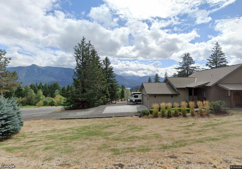
771 Maple Way Stevenson, WA 98648
Estimated Value: $749,000 - $960,000
3
Beds
3
Baths
3,038
Sq Ft
$289/Sq Ft
Est. Value
About This Home
This home is located at 771 Maple Way, Stevenson, WA 98648 and is currently estimated at $877,887, approximately $288 per square foot. 771 Maple Way is a home with nearby schools including Stevenson Elementary School, Carson Elementary School, and Wind River Middle School.
Ownership History
Date
Name
Owned For
Owner Type
Purchase Details
Closed on
Dec 17, 2020
Sold by
Blaisdell Randy L and Blaisdell Beth
Bought by
Blaisdell Randy L and Blaisdell Beth
Current Estimated Value
Home Financials for this Owner
Home Financials are based on the most recent Mortgage that was taken out on this home.
Original Mortgage
$365,000
Outstanding Balance
$324,959
Interest Rate
2.7%
Mortgage Type
New Conventional
Estimated Equity
$552,928
Purchase Details
Closed on
Sep 3, 2013
Sold by
Vanpelt Shawn B and Van Pelt Tina M
Bought by
Blaisdell Randy L and Kendell Beth
Home Financials for this Owner
Home Financials are based on the most recent Mortgage that was taken out on this home.
Original Mortgage
$33,900
Interest Rate
4.36%
Mortgage Type
Unknown
Create a Home Valuation Report for This Property
The Home Valuation Report is an in-depth analysis detailing your home's value as well as a comparison with similar homes in the area
Purchase History
| Date | Buyer | Sale Price | Title Company |
|---|---|---|---|
| Blaisdell Randy L | -- | None Available | |
| Blaisdell Randy L | $133,900 | Columbia Gorge Title |
Source: Public Records
Mortgage History
| Date | Status | Borrower | Loan Amount |
|---|---|---|---|
| Open | Blaisdell Randy L | $365,000 | |
| Closed | Blaisdell Randy L | $33,900 |
Source: Public Records
Tax History
| Year | Tax Paid | Tax Assessment Tax Assessment Total Assessment is a certain percentage of the fair market value that is determined by local assessors to be the total taxable value of land and additions on the property. | Land | Improvement |
|---|---|---|---|---|
| 2025 | $5,641 | $684,400 | $180,200 | $504,200 |
| 2024 | $5,253 | $618,800 | $167,000 | $451,800 |
| 2023 | $5,007 | $554,500 | $152,000 | $402,500 |
| 2022 | $5,043 | $493,500 | $132,000 | $361,500 |
| 2021 | $4,681 | $400,800 | $132,000 | $268,800 |
| 2020 | $4,212 | $400,800 | $132,000 | $268,800 |
| 2019 | $3,563 | $370,800 | $113,000 | $257,800 |
| 2018 | $3,992 | $365,800 | $108,000 | $257,800 |
| 2017 | $3,231 | $365,800 | $108,000 | $257,800 |
| 2015 | $822 | $222,600 | $100,000 | $122,600 |
| 2013 | -- | $80,000 | $80,000 | $0 |
Source: Public Records
Map
Nearby Homes
- 22 Venado Trail
- 92 Rancho Del Oro
- 72 Brunning Rd
- 281 Stewart Rd
- 1010 NW Still Cove Ln
- 189 NW Falcon Ct
- 960 NW Angel Heights Rd
- 392 Baker Rd
- 472 NW Hot Springs Alameda Rd
- 1001 NW Kaspar Rd
- 79 NW Lasher St
- 000 NW School (Lot 2 Land) Rd Unit 2
- 438 NW Roselawn St
- 403 NW Roselawn St
- 0 School St Unit 761845716
- 41 NW Lasher St Unit C4
- 0 E Loop Rd Unit 751523806
- 541 NW Vancouver Ave
- 547 SW Rock Creek Dr
- 1090 SW Briggs St
Your Personal Tour Guide
Ask me questions while you tour the home.