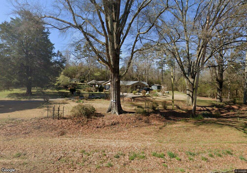
771 Mountain Home Rd Cedartown, GA 30125
Estimated Value: $188,000 - $239,000
2
Beds
1
Bath
1,125
Sq Ft
$192/Sq Ft
Est. Value
About This Home
This home is located at 771 Mountain Home Rd, Cedartown, GA 30125 and is currently estimated at $215,722, approximately $191 per square foot. 771 Mountain Home Rd is a home located in Polk County with nearby schools including Cedar Christian School.
Ownership History
Date
Name
Owned For
Owner Type
Purchase Details
Closed on
May 15, 2001
Sold by
Whatley Burnis M
Bought by
Thornton Alice M
Current Estimated Value
Purchase Details
Closed on
May 14, 2001
Sold by
Moore Josephus
Bought by
Thornton Alice Moore
Purchase Details
Closed on
Apr 26, 2001
Sold by
Moore Meriel
Bought by
Thornton Alice M
Purchase Details
Closed on
Apr 25, 2001
Sold by
Thornton Alice M (Exec Of Richard R Moor
Bought by
Moore Louise R
Purchase Details
Closed on
Sep 1, 1964
Sold by
Mann Jesse J
Bought by
Pollard Earley and Katie Mae
Purchase Details
Closed on
Jul 15, 1950
Bought by
Mann Jesse J
Create a Home Valuation Report for This Property
The Home Valuation Report is an in-depth analysis detailing your home's value as well as a comparison with similar homes in the area
Home Values in the Area
Average Home Value in this Area
Purchase History
| Date | Buyer | Sale Price | Title Company |
|---|---|---|---|
| Thornton Alice M | -- | -- | |
| Thornton Alice Moore | -- | -- | |
| Thornton Alice M | -- | -- | |
| Thornton Alice M | -- | -- | |
| Thornton Alice Moore | -- | -- | |
| Moore Louise R | -- | -- | |
| Pollard Earley | -- | -- | |
| Mann Jesse J | -- | -- |
Source: Public Records
Tax History Compared to Growth
Tax History
| Year | Tax Paid | Tax Assessment Tax Assessment Total Assessment is a certain percentage of the fair market value that is determined by local assessors to be the total taxable value of land and additions on the property. | Land | Improvement |
|---|---|---|---|---|
| 2024 | $1,038 | $64,387 | $9,017 | $55,370 |
| 2023 | $752 | $45,067 | $9,017 | $36,050 |
| 2022 | $550 | $36,564 | $6,011 | $30,553 |
| 2021 | $557 | $36,564 | $6,011 | $30,553 |
| 2020 | $558 | $36,564 | $6,011 | $30,553 |
| 2019 | $588 | $35,211 | $6,011 | $29,200 |
| 2018 | $583 | $34,493 | $6,011 | $28,482 |
| 2017 | $571 | $34,493 | $6,011 | $28,482 |
| 2016 | $684 | $38,646 | $10,164 | $28,482 |
| 2015 | $709 | $39,519 | $10,164 | $29,356 |
| 2014 | $713 | $39,519 | $10,164 | $29,356 |
Source: Public Records
Map
Nearby Homes
- 151 Friendship Rd
- 0 Mountain Home Rd Unit 1020-C 10351948
- 0 Mountain Home Rd Unit 1020-B 10351940
- 0 Mountain Home Rd Unit 1020-A 10351930
- 119 New Harmony Rd
- 1849 Prior Station Rd Unit 76 ACRES
- 1849 Prior Station Rd
- 255 Reynolds Rd
- 123 Santa Claus Rd
- 35 Harris Loop
- 28 Summerwind Dr
- 1200 N Cave Spring St
- 39 Summerwind Dr
- 516 Branch St
- 512 Branch St
- 508 Branch St
- 382 5th St
- 293 4th St
- 244 Valley Grove Rd
- 0 Mountain View Ct Unit 23 8386938
- 0 Mountain View Ct Unit 6017662
- 0 Mountain View Ct Unit 7495222
- 0 Mountain View Ct Unit 8661445
- 0 Mountain View Ct Unit 6609103
- 0 Mountain View Ct Unit 8649557
- 722 Mountain Home Rd
- 377 Persons Rd
- 843 Mountain Home Rd
- 698 Mountain Home Rd
- 95 Striker Rd
- 90 Striker Rd
- 0 Striker Rd Unit 8235720
- 0 Striker Rd
- 714 Mountain Home Rd
- 714 Mountain Home Rd
- 357 Persons Rd
- 367 Persons Rd
- 107 Striker Rd
- 115 Striker Rd