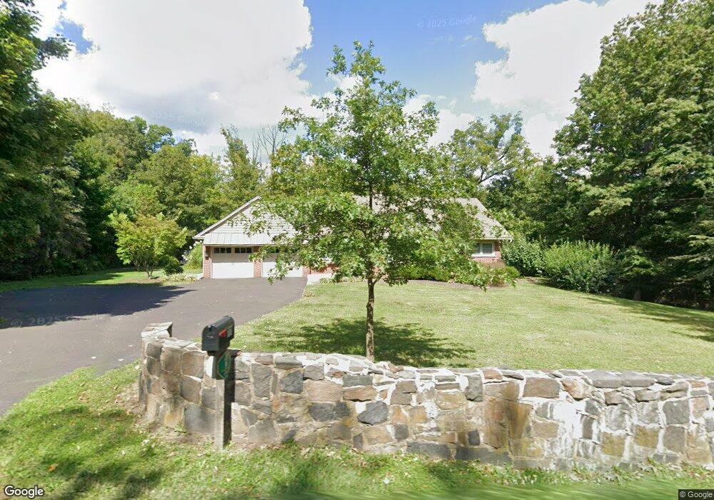
771 N Limekiln Pike Chalfont, PA 18914
Estimated Value: $417,000 - $627,918
4
Beds
3
Baths
2,178
Sq Ft
$245/Sq Ft
Est. Value
About This Home
This home is located at 771 N Limekiln Pike, Chalfont, PA 18914 and is currently estimated at $533,980, approximately $245 per square foot. 771 N Limekiln Pike is a home located in Bucks County with nearby schools including Pine Run Elementary School, Tohickon Middle School, and Central Bucks High School-West.
Ownership History
Date
Name
Owned For
Owner Type
Purchase Details
Closed on
Feb 16, 2015
Sold by
Gerhart Shannon Laurel and Kelly Shannon
Bought by
Gerhart Donald Ray and Gerhart Shannon Laurel
Current Estimated Value
Purchase Details
Closed on
Dec 28, 2011
Sold by
Rickards Rosemary and Rickards John F
Bought by
Kelly Shannon
Purchase Details
Closed on
Apr 18, 2000
Sold by
Rickards Helen
Bought by
Rickards John F and Rickards Frank L
Create a Home Valuation Report for This Property
The Home Valuation Report is an in-depth analysis detailing your home's value as well as a comparison with similar homes in the area
Home Values in the Area
Average Home Value in this Area
Purchase History
| Date | Buyer | Sale Price | Title Company |
|---|---|---|---|
| Gerhart Donald Ray | -- | None Available | |
| Kelly Shannon | $200,000 | None Available | |
| Rickards John F | -- | -- |
Source: Public Records
Tax History Compared to Growth
Tax History
| Year | Tax Paid | Tax Assessment Tax Assessment Total Assessment is a certain percentage of the fair market value that is determined by local assessors to be the total taxable value of land and additions on the property. | Land | Improvement |
|---|---|---|---|---|
| 2025 | $5,407 | $31,200 | $7,520 | $23,680 |
| 2024 | $5,407 | $31,200 | $7,520 | $23,680 |
| 2023 | $5,235 | $31,200 | $7,520 | $23,680 |
| 2022 | $5,132 | $31,200 | $7,520 | $23,680 |
| 2021 | $5,074 | $31,200 | $7,520 | $23,680 |
| 2020 | $5,074 | $31,200 | $7,520 | $23,680 |
| 2019 | $5,011 | $31,200 | $7,520 | $23,680 |
| 2018 | $5,011 | $31,200 | $7,520 | $23,680 |
| 2017 | $4,972 | $31,200 | $7,520 | $23,680 |
| 2016 | $4,972 | $31,200 | $7,520 | $23,680 |
| 2015 | -- | $31,200 | $7,520 | $23,680 |
| 2014 | -- | $31,200 | $7,520 | $23,680 |
Source: Public Records
Map
Nearby Homes
- 84 Curley Mill Rd
- 1528 Hilltown Pike
- 10 Hellberg Ave
- 425 Elm Cir
- 1075 Patrick Place Unit 75
- 1212 Revere Dr
- 744 Broad St
- 245 Coventry Rd
- 172 Chestnut St
- 1161 Upper Stump Rd
- 105 Barry Rd
- 315 Old Limekiln Lot 3 Rd
- 165 Township Line Rd
- 218 Keeley Ave
- 60 Becker Dr Unit 27
- 62 Becker Dr Unit 28
- 58 Becker Dr Unit 26
- 64 Becker Dr Unit 29
- 40 E Butler Ave
- 79 Becker Dr
- 120 Upper Stump Rd
- 116 Upper Stump Rd
- 112 Upper Stump Rd
- 126 Upper Stump Rd
- 779 N Limekiln Pike
- 776 N Limekiln Pike
- 130 Upper Stump Rd
- 3 Upper Stump Rd
- 764 N Limekiln Pike
- 109 Upper Stump Rd
- 309 Curley Mill Rd
- 301 Curley Mill Rd
- 310 Curley Mill Rd
- 756 N Limekiln Pike
- 134 Upper Stump Rd
- 754 N Limekiln Pike
- 138 Upper Stump Rd
- 795 N Limekiln Pike
- 210 Curley Mill Rd
- 744 N Limekiln Pike