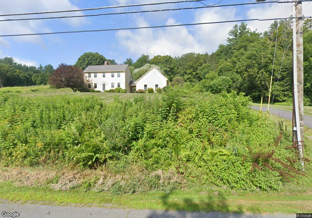
771 Shelburne Falls Rd Conway, MA 01341
Estimated Value: $507,411 - $626,000
3
Beds
2
Baths
1,662
Sq Ft
$333/Sq Ft
Est. Value
About This Home
This home is located at 771 Shelburne Falls Rd, Conway, MA 01341 and is currently estimated at $554,103, approximately $333 per square foot. 771 Shelburne Falls Rd is a home located in Franklin County with nearby schools including Frontier Regional School.
Ownership History
Date
Name
Owned For
Owner Type
Purchase Details
Closed on
Oct 29, 2020
Sold by
Currie Michael R and Currie Janice M
Bought by
Currie Matthew R and Currie Michael J
Current Estimated Value
Create a Home Valuation Report for This Property
The Home Valuation Report is an in-depth analysis detailing your home's value as well as a comparison with similar homes in the area
Home Values in the Area
Average Home Value in this Area
Purchase History
| Date | Buyer | Sale Price | Title Company |
|---|---|---|---|
| Currie Matthew R | -- | None Available |
Source: Public Records
Tax History Compared to Growth
Tax History
| Year | Tax Paid | Tax Assessment Tax Assessment Total Assessment is a certain percentage of the fair market value that is determined by local assessors to be the total taxable value of land and additions on the property. | Land | Improvement |
|---|---|---|---|---|
| 2025 | $6,202 | $429,500 | $79,600 | $349,900 |
| 2024 | $5,451 | $332,400 | $72,400 | $260,000 |
| 2023 | $5,701 | $332,400 | $72,400 | $260,000 |
| 2022 | $5,525 | $307,800 | $67,100 | $240,700 |
| 2021 | $5,435 | $290,200 | $63,900 | $226,300 |
| 2020 | $5,240 | $279,300 | $63,900 | $215,400 |
| 2019 | $17 | $279,300 | $63,900 | $215,400 |
| 2018 | $14 | $279,400 | $63,900 | $215,500 |
| 2017 | $14 | $279,400 | $63,900 | $215,500 |
| 2016 | $4,754 | $285,000 | $55,800 | $229,200 |
| 2015 | $4,608 | $285,000 | $55,800 | $229,200 |
Source: Public Records
Map
Nearby Homes
- lot 1 Shelburne Falls Rd
- 85 Dacey Rd
- 14 River St
- 0 Pleasant St
- 71 Mathews Rd
- 473 N Poland Rd
- 240 Beldingville Rd
- 30 Lee Rd
- 102 Elm St
- 345 Greenfield Rd
- 1531 Williamsburg Rd
- 230 S Ashfield Rd
- 208 Greenfield Rd
- 163 S Shelburne Rd
- 820 E Guinea Rd
- 10 Deerfield Ave Unit 5
- 10 Deerfield Ave Unit 2
- 105 - 107 Bridge St
- 130 Laurel St
- 23 Robbins Rd
- 755 Shelburne Falls Rd
- 731 Shelburne Falls Rd
- 753 Shelburne Falls Rd
- 808 Shelburne Falls Rd
- 697 Shelburne Falls Rd
- 831 Shelburne Falls Rd
- 655 Shelburne Falls Rd
- 670 Shelburne Falls Rd
- 919 Shelburne Falls Rd
- 624 Shelburne Falls Rd
- 921 Shelburne Falls Rd
- 576 Shelburne Falls Rd
- 1029 Shelburne Falls Rd
- 491 Shelburne Falls Rd
- 1026 Shelburne Falls Rd
- 39 Newhall Rd
- 204 Bardwells Ferry Rd
- 433 Reeds Bridge Rd
- 68 Newhall Rd
- 615 Reeds Bridge Rd