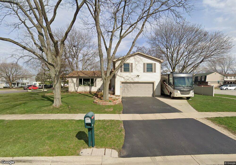
771 Shenandoah Dr Carol Stream, IL 60188
Estimated Value: $431,000 - $460,000
3
Beds
3
Baths
2,322
Sq Ft
$192/Sq Ft
Est. Value
About This Home
This home is located at 771 Shenandoah Dr, Carol Stream, IL 60188 and is currently estimated at $445,014, approximately $191 per square foot. 771 Shenandoah Dr is a home located in DuPage County with nearby schools including Field Kindergarten Center, Jordan Elementary School, and Heritage Lakes Elementary School.
Ownership History
Date
Name
Owned For
Owner Type
Purchase Details
Closed on
Jun 13, 2001
Sold by
Wells Cleon Eugene and Wells Theresa A
Bought by
Carison David F and Carison Cindy M
Current Estimated Value
Home Financials for this Owner
Home Financials are based on the most recent Mortgage that was taken out on this home.
Original Mortgage
$175,525
Outstanding Balance
$67,056
Interest Rate
7.18%
Estimated Equity
$377,958
Create a Home Valuation Report for This Property
The Home Valuation Report is an in-depth analysis detailing your home's value as well as a comparison with similar homes in the area
Home Values in the Area
Average Home Value in this Area
Purchase History
| Date | Buyer | Sale Price | Title Company |
|---|---|---|---|
| Carison David F | $206,500 | Burnet Title Llc |
Source: Public Records
Mortgage History
| Date | Status | Borrower | Loan Amount |
|---|---|---|---|
| Open | Carison David F | $175,525 |
Source: Public Records
Tax History Compared to Growth
Tax History
| Year | Tax Paid | Tax Assessment Tax Assessment Total Assessment is a certain percentage of the fair market value that is determined by local assessors to be the total taxable value of land and additions on the property. | Land | Improvement |
|---|---|---|---|---|
| 2024 | -- | $135,813 | $35,744 | $100,069 |
| 2023 | -- | $123,220 | $32,430 | $90,790 |
| 2022 | $0 | $109,000 | $30,140 | $78,860 |
| 2021 | $3,359 | $103,470 | $28,610 | $74,860 |
| 2020 | $0 | $100,370 | $27,750 | $72,620 |
| 2019 | $3,359 | $96,790 | $26,760 | $70,030 |
| 2018 | $0 | $92,620 | $25,610 | $67,010 |
| 2017 | $7,067 | $88,930 | $24,590 | $64,340 |
| 2016 | $7,067 | $84,950 | $23,490 | $61,460 |
| 2015 | $7,067 | $80,420 | $22,240 | $58,180 |
| 2014 | $7,067 | $78,390 | $21,680 | $56,710 |
| 2013 | $7,039 | $80,270 | $22,200 | $58,070 |
Source: Public Records
Map
Nearby Homes
- 848 Birchbark Trail
- 716 Sand Creek Dr
- 654 Tacoma Dr
- 911 Hampton Dr
- 526 Alton Ct
- 515 Dakota Ct
- 1065 Brighton Dr
- 27W270 Jefferson St
- 1304 Yorkshire Ln
- 808 Trinity Ct
- 852 Napa St
- 552 Cochise Place
- 27W046 North Ave
- 720 Hoover Dr Unit 124
- 351 Juniper Ct
- 607 Kingsbridge Dr
- 975 Merbach Ct
- 641 Kingsbridge Dr
- 403 Arrowhead Trail
- 1080 Ridgefield Cir
- 775 Shenandoah Dr
- 770 Shenandoah Dr
- 760 Cimarron Dr
- 779 Shenandoah Dr
- 899 Valley View Trail
- 770 Birchbark Trail
- 783 Shenandoah Dr
- 908 Valley View Trail
- 754 Cimarron Dr
- 759 Iroquois Trail
- 792 Shenandoah Dr
- 755 Cimarron Dr
- 797 Shenandoah Dr
- 755 Iroquois Trail
- 750 Cimarron Dr
- 800 Shenandoah Dr
- 912 Valley View Trail
- 907 Valley View Trail
- 751 Cimarron Dr
- 749 Iroquois Trail